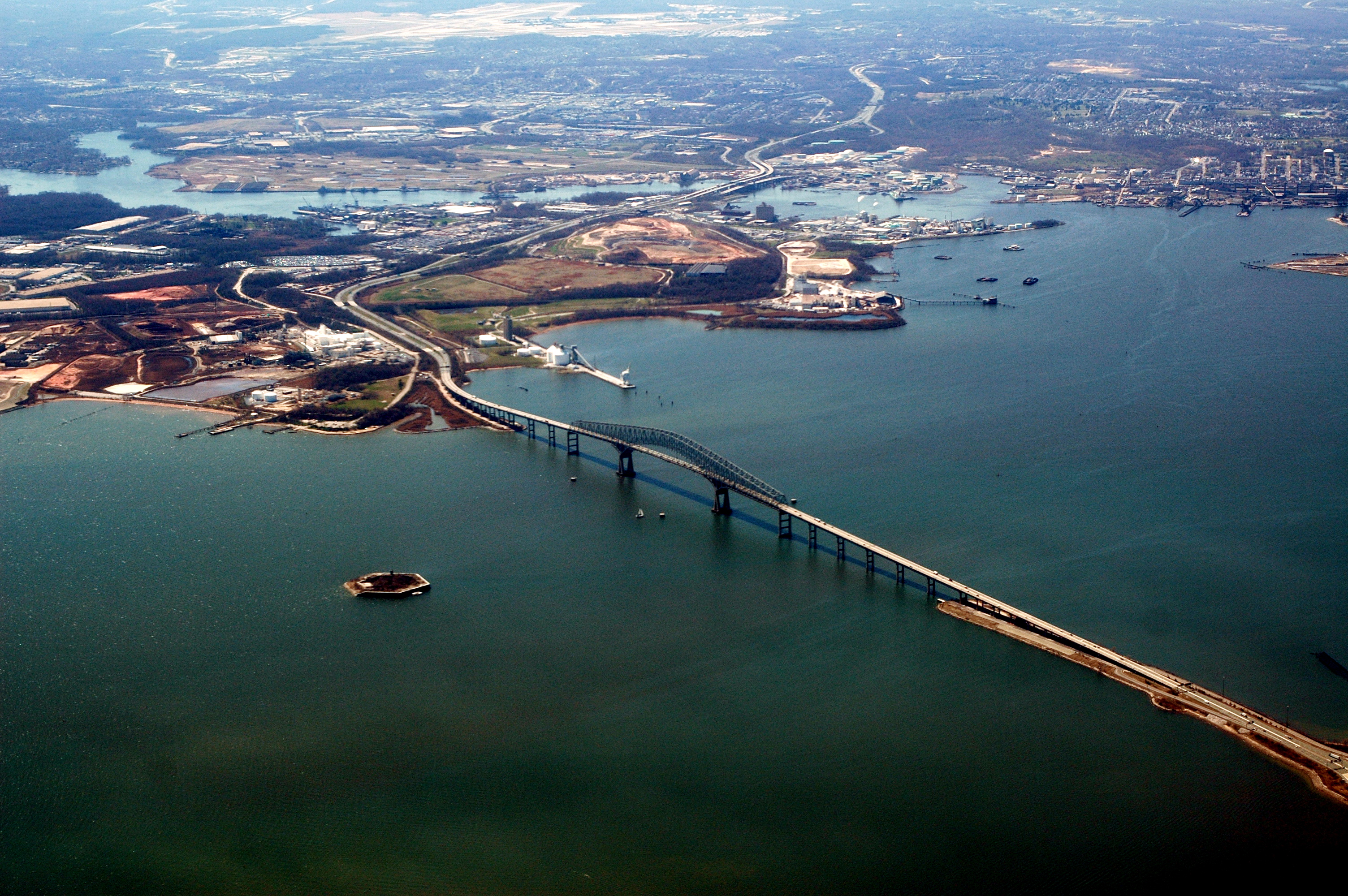
Thoms Cove on:
[Wikipedia]
[Google]
[Amazon]
Thoms Cove, the nickname for Thomas Cove, is a natural 
cove
A cove is a small type of bay or coastal inlet. Coves usually have narrow, restricted entrances, are often circular or oval, and are often situated within a larger bay. Small, narrow, sheltered bays, inlets, creeks, or recesses in a coast are o ...
approximately in diameter in Hawkins Point, Baltimore
Hawkins Point is a neighborhood in the South District of Baltimore, located at the southern tip of the city between Curtis Bay (north) and the Anne Arundel County line (south) and Thoms Cove (east). Its land area covers , and it had a population ...
on the northeastern end of the peninsula with the tidal Patapsco River to the northeast, Curtis Bay to the northwest, Hawkins Point to the west and I-695 to the south.
Thoms Cove is bordered by Eastalco Aluminum Company's loading and storage facility and a Superfund landfill. It is in the USGS quadrangle
A "quadrangle" is a topographic map produced by the United States Geological Survey (USGS) covering the United States. The maps are usually named after local physiographic features. The shorthand "quad" is also used, especially with the name of t ...
"Curtis Bay" and a Maryland grid coordinate of
500800N and 928000E and is largely administered by the Maryland Port Administration.

References
Coves of the United States Bodies of water of Baltimore County, Maryland Bodies of water of Baltimore Bays of Maryland Hawkins Point, Baltimore {{BaltimoreCountyMD-geo-stub