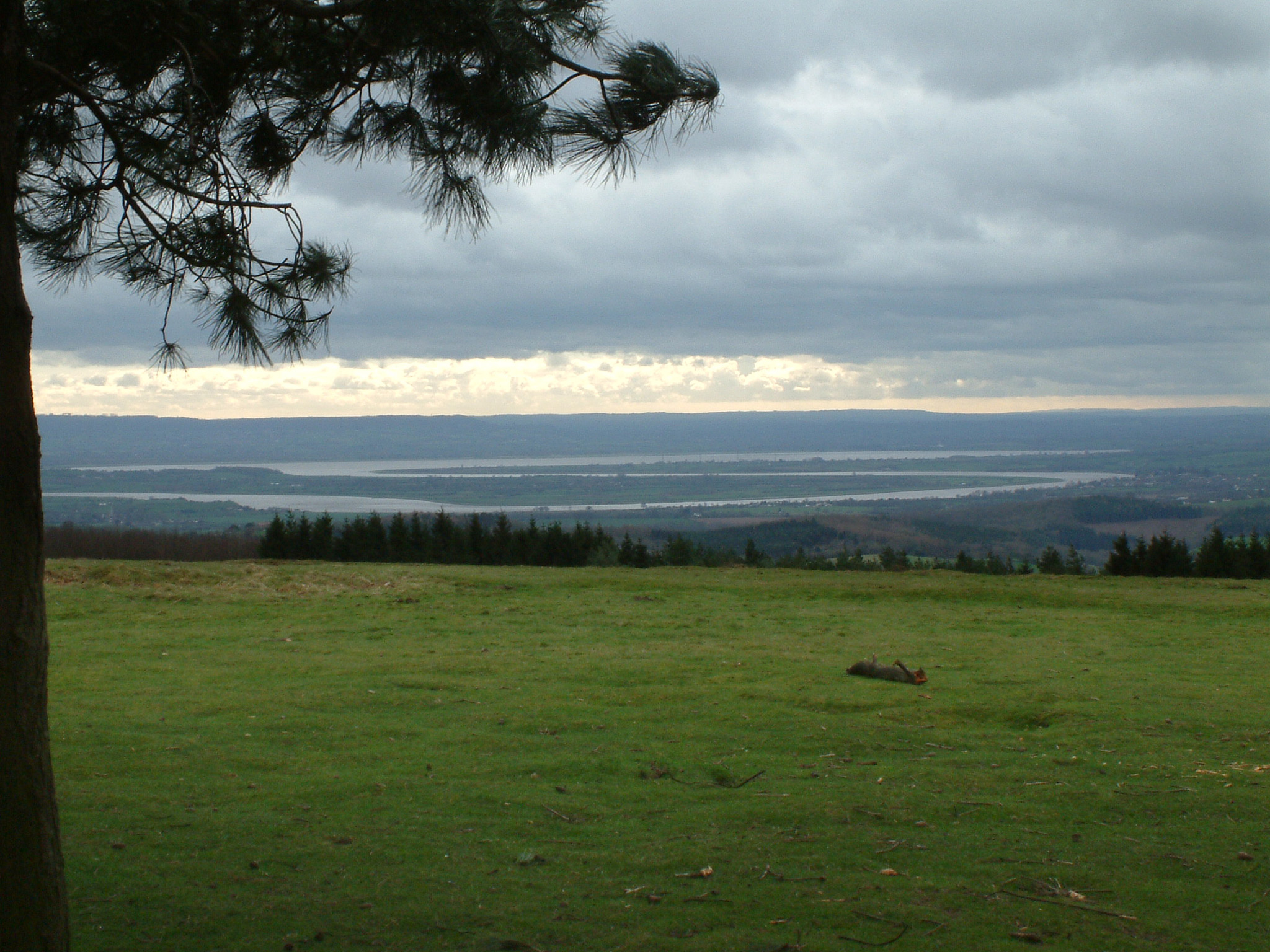
South Herefordshire and Over Severn on:
[Wikipedia]
[Google]
[Amazon]
 South Herefordshire and Over Severn is a National Character Area that extends from the south, where it is bounded by the
at publications.naturalengland.org.uk. Retrieved 10 July 2016. There are "stunning panoramic views" from Garway Hill (366m) in Herefordshire and
 South Herefordshire and Over Severn is a National Character Area that extends from the south, where it is bounded by the
 Forest of Dean
The Forest of Dean is a geographical, historical and cultural region in the western part of the county of Gloucestershire, England. It forms a roughly triangular plateau bounded by the River Wye to the west and northwest, Herefordshire to the n ...
, northwards to Ewyas Harold
Ewyas Harold () is a village and civil parish in the Golden Valley in Herefordshire, England, near the Wales-England border about halfway between Abergavenny, Monmouthshire, and Hereford. The population of this civil parish at the 2011 census ...
in southern Herefordshire
Herefordshire () is a county in the West Midlands of England, governed by Herefordshire Council. It is bordered by Shropshire to the north, Worcestershire to the east, Gloucestershire to the south-east, and the Welsh counties of Monmouthshire ...
and to the southern tip of the Malvern Hills
The Malvern Hills are in the English counties of Worcestershire, Herefordshire and a small area of northern Gloucestershire, dominating the surrounding countryside and the towns and villages of the district of Malvern. The highest summit affo ...
.''NCA Profile: 104 South Herefordshire and Over Severn (NE558)''at publications.naturalengland.org.uk. Retrieved 10 July 2016. There are "stunning panoramic views" from Garway Hill (366m) in Herefordshire and
May Hill
May Hill is a prominent English hill between Gloucester and Ross-on-Wye. Its summit, on the western edge of Gloucestershire and its northern slopes in Herefordshire, is distinguishable by a clump of trees on its summit, which forms an official ...
(296m) in Gloucestershire
Gloucestershire ( abbreviated Glos) is a county in South West England. The county comprises part of the Cotswold Hills, part of the flat fertile valley of the River Severn and the entire Forest of Dean.
The county town is the city of Gl ...
across the region. The River Wye
The River Wye (; cy, Afon Gwy ) is the Longest rivers of the United Kingdom, fourth-longest river in the UK, stretching some from its source on Plynlimon in mid Wales to the Severn estuary. For much of its length the river forms part of Wal ...
, a Special Area of Conservation
A Special Area of Conservation (SAC) is defined in the European Union's Habitats Directive (92/43/EEC), also known as the ''Directive on the Conservation of Natural Habitats and of Wild Fauna and Flora''. They are to protect the 220 habitats and ap ...
, meanders through the area heading south towards the River Severn
, name_etymology =
, image = SevernFromCastleCB.JPG
, image_size = 288
, image_caption = The river seen from Shrewsbury Castle
, map = RiverSevernMap.jpg
, map_size = 288
, map_c ...
and the Wye Valley
The Wye Valley Area of Outstanding Natural Beauty (AONB; cy, Dyffryn Gwy) is an internationally important protected landscape straddling the border between England and Wales.
The River Wye ( cy, Afon Gwy) is the fourth-longest river in th ...
is an Area of Outstanding Natural Beauty
An Area of Outstanding Natural Beauty (AONB; , AHNE) is an area of countryside in England, Wales, and Northern Ireland, that has been designated for conservation due to its significant landscape value. Areas are designated in recognition of thei ...
.
Much of the region is "a picturesque, rural, well-wooded landscape" and there are large areas of old, semi-natural forest, parks and traditional orchards as well as ancient hedgerows and grassland. The land is predominantly used for farming - both arable farming and livestock.
See also
* List of National Character AreasReferences
{{coord, 51.96, -2.60, region:GB-ENG, display=title Natural regions of England Geography of Herefordshire