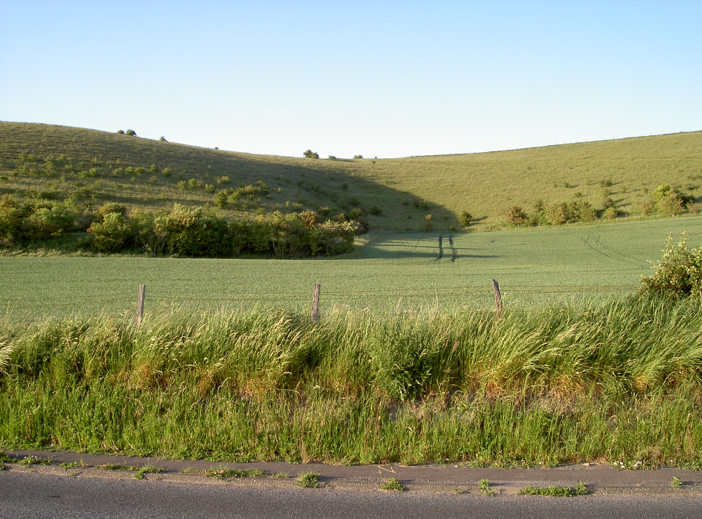
Scratchbury and Cotley Hills SSSI on:
[Wikipedia]
[Google]
[Amazon]
 Scratchbury & Cotley Hills SSSI () is a 53.5
English Nature citation sheet for the site
(accessed 6 August 2006)
English Nature website
(SSSI information) Sites of Special Scientific Interest in Wiltshire Sites of Special Scientific Interest notified in 1951 Hills of Wiltshire {{Wiltshire-geo-stub
 Scratchbury & Cotley Hills SSSI () is a 53.5
 hectare
The hectare (; SI symbol: ha) is a non-SI metric unit of area equal to a square with 100- metre sides (1 hm2), or 10,000 m2, and is primarily used in the measurement of land. There are 100 hectares in one square kilometre. An acre is ...
biological Site of Special Scientific Interest
A Site of Special Scientific Interest (SSSI) in Great Britain or an Area of Special Scientific Interest (ASSI) in the Isle of Man and Northern Ireland is a conservation designation denoting a protected area in the United Kingdom and Isle of ...
at Norton Bavant
Norton Bavant is a small village and civil parish in Wiltshire, England, southeast of Warminster.
Geography
The village is on the River Wylye and at the edge of Salisbury Plain. To the north lies Scratchbury and Cotley Hills Site of Special S ...
in Wiltshire, England, notified in 1951. The Iron Age hillfort of Scratchbury Camp
Scratchbury Camp is the site of an Iron Age univallate hillfort on Scratchbury Hill, overlooking the Wylye valley about 1 km northeast of the village of Norton Bavant in Wiltshire, England. The fort covers an area of and occupies the sum ...
occupies the summit of the hill.
Sources
English Nature citation sheet for the site
(accessed 6 August 2006)
External links
English Nature website
(SSSI information) Sites of Special Scientific Interest in Wiltshire Sites of Special Scientific Interest notified in 1951 Hills of Wiltshire {{Wiltshire-geo-stub