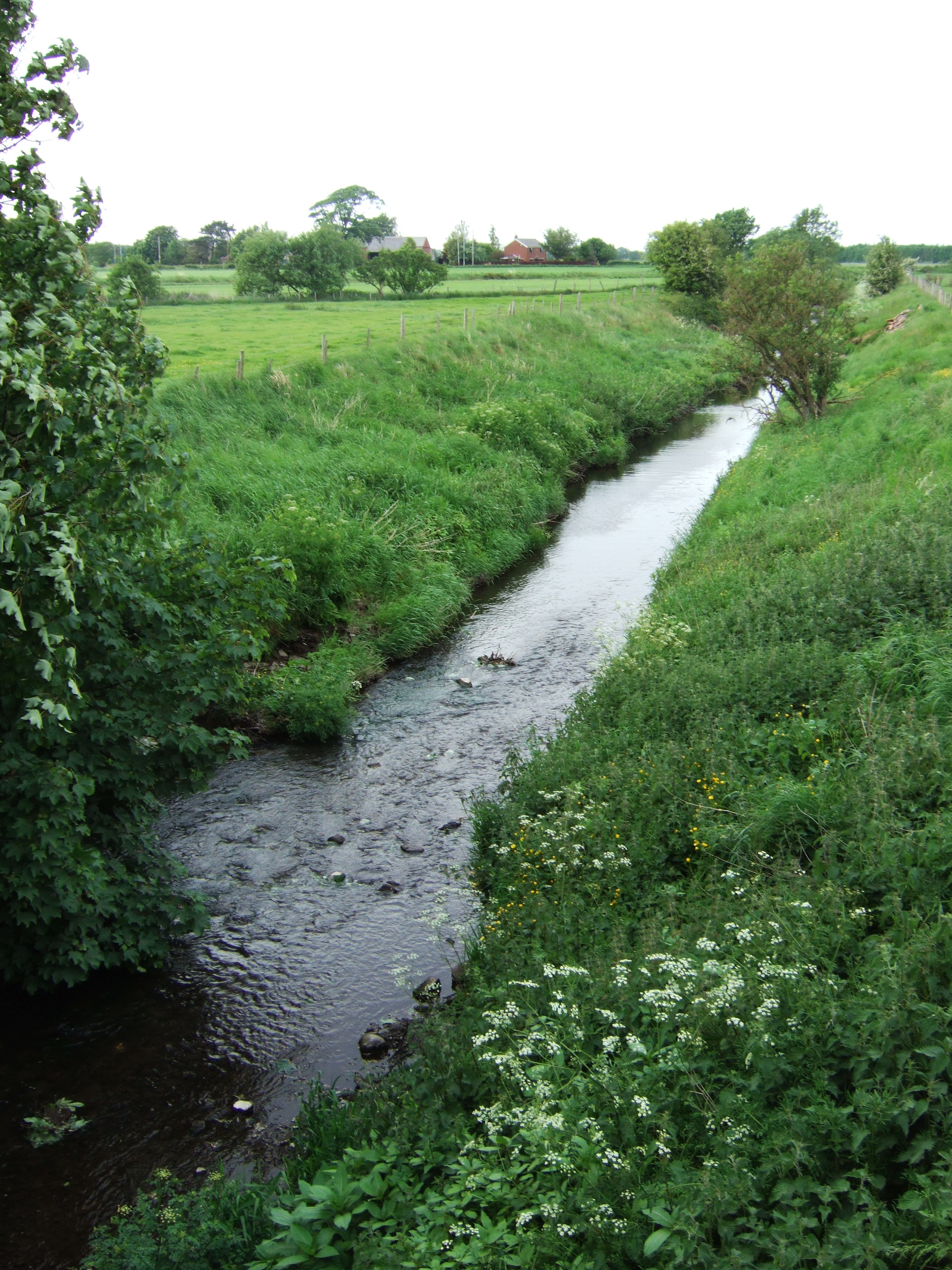
River Tawd on:
[Wikipedia]
[Google]
[Amazon]
 The River Tawd flows through
Skelmersdale
Skelmersdale is a town in Lancashire, England, on the River Tawd, west of Wigan, northeast of Liverpool and southwest of Preston. In 2006, it had a population of 38,813. The town is known locally as Skem .
While the first record of the tow ...
and Lathom
Lathom is a village and civil parish in Lancashire, England, about 3 miles (5 km) northeast of Ormskirk. It is in the district of West Lancashire, and with the parish of Newburgh forms part of Newburgh ward. The population of the civil par ...
in West Lancashire
West Lancashire is a local government district with borough status in Lancashire, England. The council is based in Ormskirk, and the largest town in the borough is Skelmersdale. At the 2011 Census, the population of the borough was 110,68 ...
.
Tawd Bridge carried Ormskirk Road, the main arterial road from Wigan
Wigan ( ) is a large town in Greater Manchester, England, on the River Douglas. The town is midway between the two cities of Manchester, to the south-east, and Liverpool, to the south-west. Bolton lies to the north-east and Warrington t ...
to Ormskirk
Ormskirk is a market town in the West Lancashire district of Lancashire, England, north of Liverpool, northwest of St Helens, southeast of Southport and southwest of Preston. Ormskirk is known for its gingerbread.
Geography and administr ...
and Southport
Southport is a seaside town in the Metropolitan Borough of Sefton in Merseyside, England. At the 2001 census, it had a population of 90,336, making it the eleventh most populous settlement in North West England.
Southport lies on the Iris ...
. This is well known to Upholland
Up Holland (or Upholland) is a village close to Skelmersdale and civil parish in the West Lancashire district, in the county of Lancashire, England, 4 miles west of Wigan. The population at the 2011 census was 7,376.
Geography
The village is ...
locals as the place where highwayman George Lyons held up his victims during the 18th century. Today, the river flows through the middle of Skelmersdale in large culverts. It emerges near the town's shopping centre, the Concourse, and flows into a country park and Tawd Vale Adventure Centre, a Scout campsite owned and operated by Merseyside Scouts, on the site of the 19th and early 20th century colliery
Coal mining is the process of extracting coal from the ground. Coal is valued for its energy content and since the 1880s has been widely used to generate electricity. Steel and cement industries use coal as a fuel for extraction of iron from ...
. Parts of the river are a county biological heritage site.
It is a tributary of the River Douglas which it joins in Lathom.
Water quality
The Environment Agency measure the water quality of the river systems in England. Each is given an overall ecological status, which may be one of five levels: high, good, moderate, poor and bad. There are several components that are used to determine this, including biological status, which looks at the quantity and varieties ofinvertebrate
Invertebrates are a paraphyletic group of animals that neither possess nor develop a vertebral column (commonly known as a ''backbone'' or ''spine''), derived from the notochord. This is a grouping including all animals apart from the chordate ...
s, angiosperms and fish. Chemical status, which compares the concentrations of various chemicals against known safe concentrations, is rated good or fail.
The water quality of the River Tawd was as follows in 2016. Reasons for the quality being less than good include physical modification of the channel and some sewage discharge.
Tributaries
* Slate Brook * Grimshaw BrookReferences
Rivers of Lancashire Geography of the Borough of West Lancashire Skelmersdale 1Tawd {{England-river-stub