Parks in Atlanta on:
[Wikipedia]
[Google]
[Amazon]
Parks and Recreation.
The 343 Atlanta parks range in scope from formal gardens at

 Centennial Olympic Park forms a centerpoint for downtown visitors in and around which key visitor attractions are located; nearby Woodruff Park and Hurt Park cater to the downtown lunch crowd.Atlanta Department of Parks, Recreation and Cultural Affairs
 Several nature preserves line the south fork of
 The
The
 The
The
Atlanta Department of Parks, Recreation and Cultural Affairs
Atlanta Georgia
Atlanta ( ) is the capital and most populous city of the U.S. state of Georgia. It is the seat of Fulton County, the most populous county in Georgia, but its territory falls in both Fulton and DeKalb counties. With a population of 498,715 ...
includes over 3,000 acres of parkland managed bParks and Recreation.
The 343 Atlanta parks range in scope from formal gardens at
Atlanta Botanical Garden
The Atlanta Botanical Garden is a botanical garden located adjacent to Piedmont Park in Midtown Atlanta, Georgia, United States. Incorporated in 1976, the garden's mission is to "develop and maintain plant collections for the purposes of displa ...
to pocket parks in neighborhoods. Additionally, there are six miles of paved pedestrian and bike trails in the Atlanta Beltline as well as the PATH Foundation network of 150 miles of off road trails.Piedmont Park
Piedmont Park, site of the 1895 Cotton States Expo, is Atlanta's iconic green space. The Midtown park, which underwent a major renovation and expansion in 2010, attracts visitors from across the region and hosts various cultural events throughout the year. Piedmont Park also features a large 3-acre dog park with sections for large and small dogs.Downtown parks

 Centennial Olympic Park forms a centerpoint for downtown visitors in and around which key visitor attractions are located; nearby Woodruff Park and Hurt Park cater to the downtown lunch crowd.Atlanta Department of Parks, Recreation and Cultural Affairs
Other prominent parks
Grant Park, located on the east side, is home to the city zoo., Chastain Park, the primary recreational center for the northernBuckhead
Buckhead is the uptown commercial and residential district of the city of Atlanta, Georgia, comprising approximately the northernmost fifth of the city. Buckhead is the third largest business district within the Atlanta city limits, behind Downto ...
district, contains an amphitheater for live music concerts. Atlanta's largest park, Southside Park, is remote and nearly undeveloped, and the planned Westside Park
Westside Park at Bellwood Quarry is a park in the Atlanta, Georgia, City of Atlanta located on the site of the former Bellwood Quarry. The park is between Johnson Road and Donald Lee Hollowell Parkway and between the neighborhoods of Bankhead ...
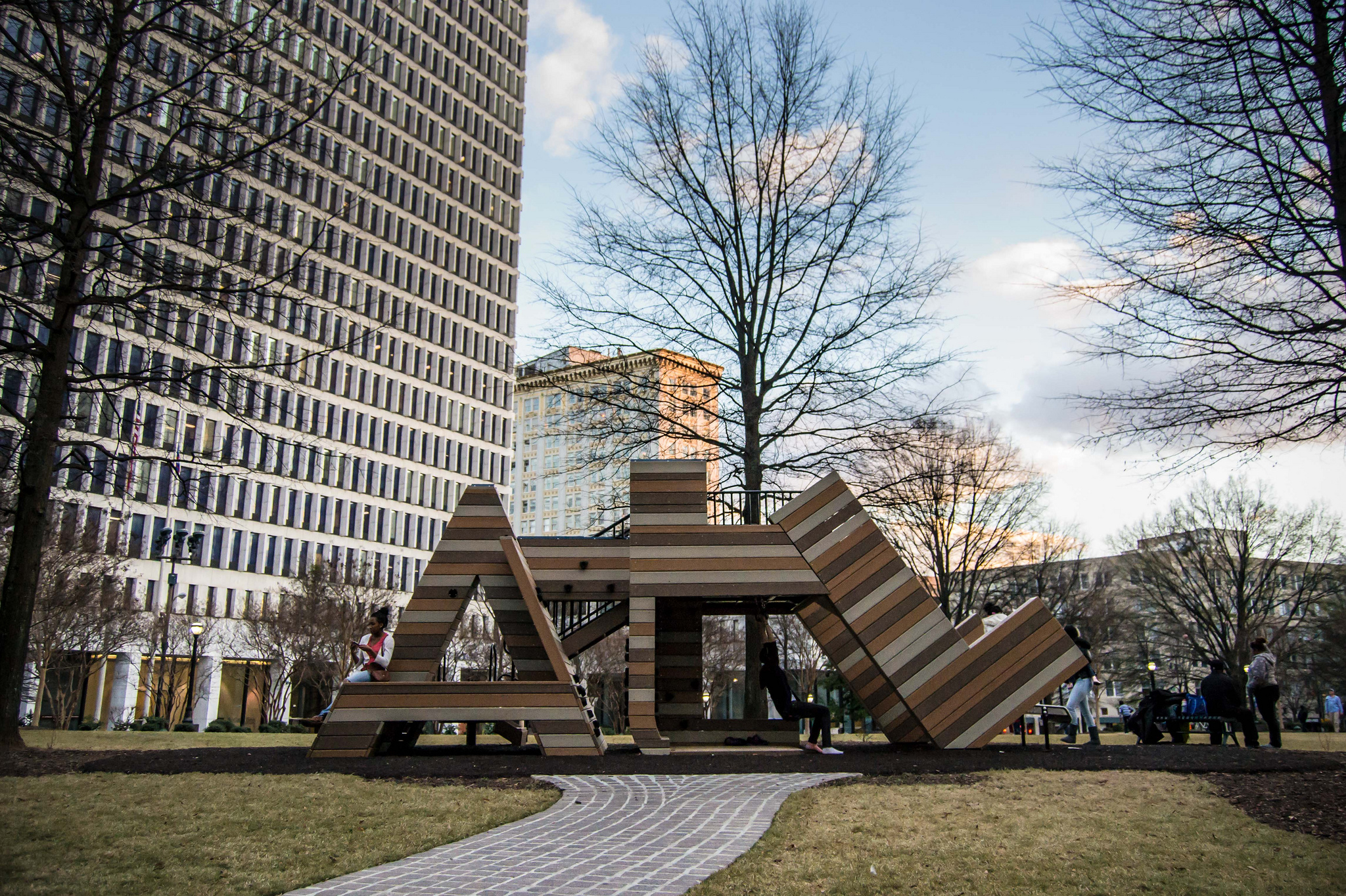
in northwest Atlanta, which will be constructed on the site of a former gravel quarry, will eclipse Southside as the city's largest. Also, Perkerson Park in Southwest Atlanta is home to the city's only permanent Disc Golf course. Atlanta's neighborhoods are dotted with hundreds of neighborhood parks such as John Howell Park in Virginia-Highland and Perkerson Park in the Capitol View/ Sylvan Hills area. Freedom Park is Atlanta's largest passive park, with over 200 acres of linear greenspace going through Atlanta's historic east side neighborhoods. It was designated as Atlanta's Public Art Park by the Atlanta City Council in 2007.
Nature preserves
Peachtree Creek
Peachtree Creek is a major stream in Atlanta. It flows for U.S. Geological Survey. National Hydrography Dataset high-resolution flowline dataThe National Map, accessed April 15, 2011 almost due west into the Chattahoochee River just south of Vi ...
in the Morningside neighborhood, including the Morningside Nature Preserve, while part of the Chattahoochee River National Recreation Area lies in the city's northwest corner.
Atlanta Botanical Garden
 The
The Atlanta Botanical Garden
The Atlanta Botanical Garden is a botanical garden located adjacent to Piedmont Park in Midtown Atlanta, Georgia, United States. Incorporated in 1976, the garden's mission is to "develop and maintain plant collections for the purposes of displa ...
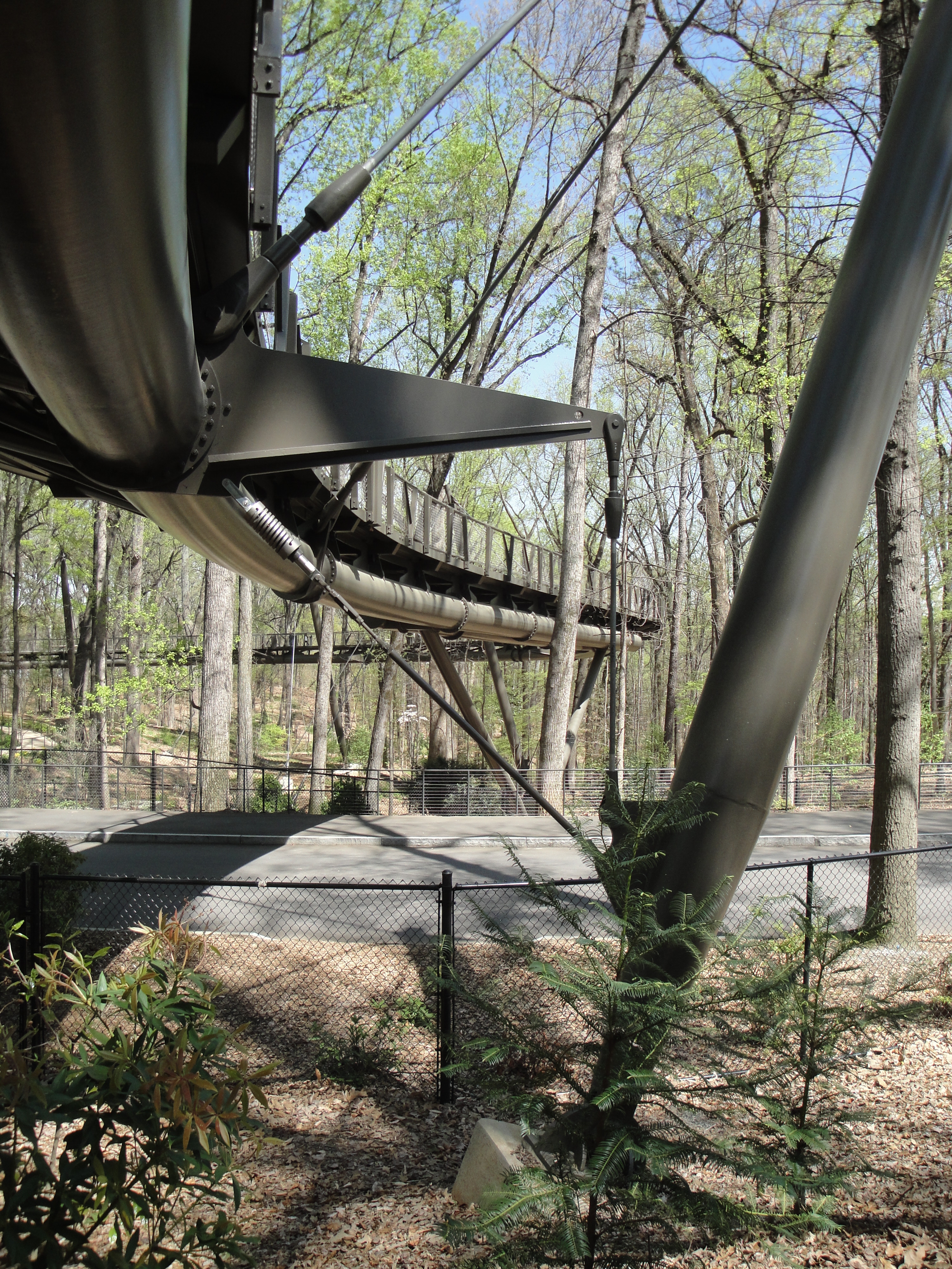
is home to the Canopy Walk, a 600-foot elevated walkway ambling 40 feet from the ground through a 15-acre forest of mature hardwoods, and the only canopy-level pathway of its kind in the United States.
Trails
BeltLine
 The
The BeltLine
The Atlanta BeltLine (also Beltline or Belt Line) is a open and planned loop of multi-use trail and light rail transit system on a former railway corridor around the core of Atlanta, Georgia. The Atlanta BeltLine is designed to reconnect nei ...
, a former rail corridor that forms a 22- mile loop around Atlanta's central neighborhoods, has been acquired and transformed into public space. Most of the corridor opened in the late-2000s as a walking path, with plans for development of multi-use trails and, eventually, public transit. A trail has already been constructed near the West End neighborhood, while another one, under construction as of 2012, will connect Piedmont Park to Inman Park. BeltLine
The Atlanta BeltLine (also Beltline or Belt Line) is a open and planned loop of multi-use trail and light rail transit system on a former railway corridor around the core of Atlanta, Georgia. The Atlanta BeltLine is designed to reconnect nei ...
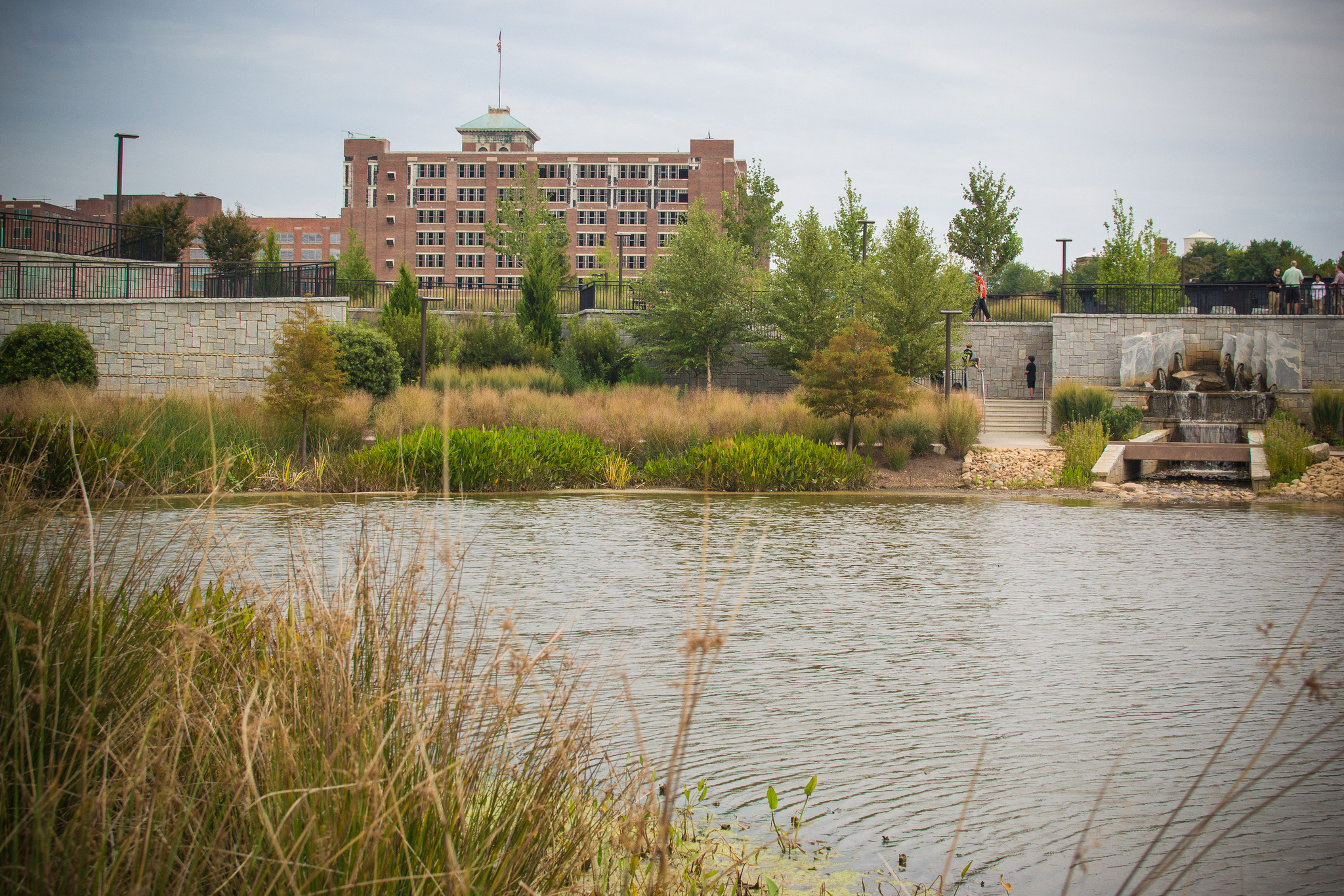
projects will increase Atlanta's park space by 40%, including two new parks: Historic Fourth Ward Park, now open, and Westside Park.
PATH
In addition to BeltLine trails,PATH
A path is a route for physical travel – see Trail.
Path or PATH may also refer to:
Physical paths of different types
* Bicycle path
* Bridle path, used by people on horseback
* Course (navigation), the intended path of a vehicle
* Desire p ...
maintains a network of biking and walking trails in Metro Atlanta, including one that traverses Atlanta's east side, traveling past the Carter Center
The Carter Center is a nongovernmental, not-for-profit organization founded in 1982 by former U.S. President Jimmy Carter. He and his wife Rosalynn Carter partnered with Emory University just after his defeat in the 1980 United States presid ...
and through Freedom Park.
PATH400 will be a major addition to the PATH network through Buckhead
Buckhead is the uptown commercial and residential district of the city of Atlanta, Georgia, comprising approximately the northernmost fifth of the city. Buckhead is the third largest business district within the Atlanta city limits, behind Downto ...
.
The Cheshire Farm Trail lines the South Fork of Peachtree Creek
Peachtree Creek is a major stream in Atlanta. It flows for U.S. Geological Survey. National Hydrography Dataset high-resolution flowline dataThe National Map, accessed April 15, 2011 almost due west into the Chattahoochee River just south of Vi ...
from Lindbergh Ave. to Cheshire Bridge Road
Cheshire Bridge Road is a mainly north–south thoroughfare of Atlanta, Georgia, USA traversing the Morningside-Lenox Park and Lindridge-Martin Manor neighborhoods from Piedmont Avenue to Buford Highway just north of Interstate 85.
While the c ...
, and Maiden Trail parallels Ponce de Leon Avenue
Ponce de Leon Avenue ( ), often simply called Ponce, provides a link between Atlanta, Decatur, Clarkston, and Stone Mountain, Georgia. It was named for Ponce de Leon Springs, in turn from explorer Juan Ponce de León, but is not pronounced ...
in Virginia-Highland.
External links
Atlanta Department of Parks, Recreation and Cultural Affairs
References
{{Atlanta