Nakatajima Sand Dunes on:
[Wikipedia]
[Google]
[Amazon]

 are located at the southern part of
Hamamatsu Nakatajima Sand DunesKite Festival

 are located at the southern part of
 Hamamatsu
is a city located in western Shizuoka Prefecture, Japan. the city had an estimated population of 791,707 in 340,591 households, making it the prefecture's largest city, and a population density of . The total area of the site was .
Overview
Ha ...
, Shizuoka Prefecture at the Pacific Ocean
The Pacific Ocean is the largest and deepest of Earth's five oceanic divisions. It extends from the Arctic Ocean in the north to the Southern Ocean (or, depending on definition, to Antarctica) in the south, and is bounded by the contin ...
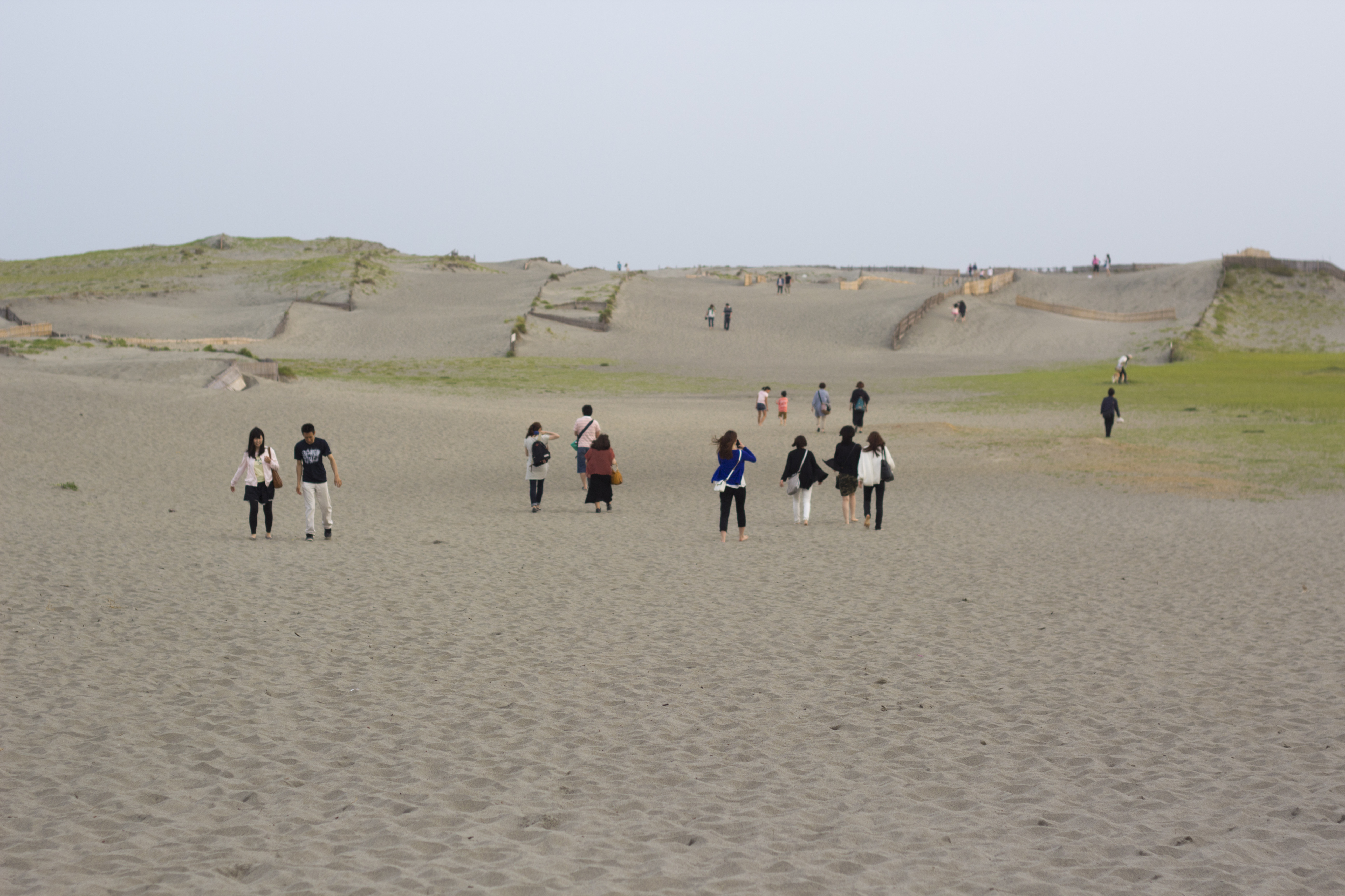
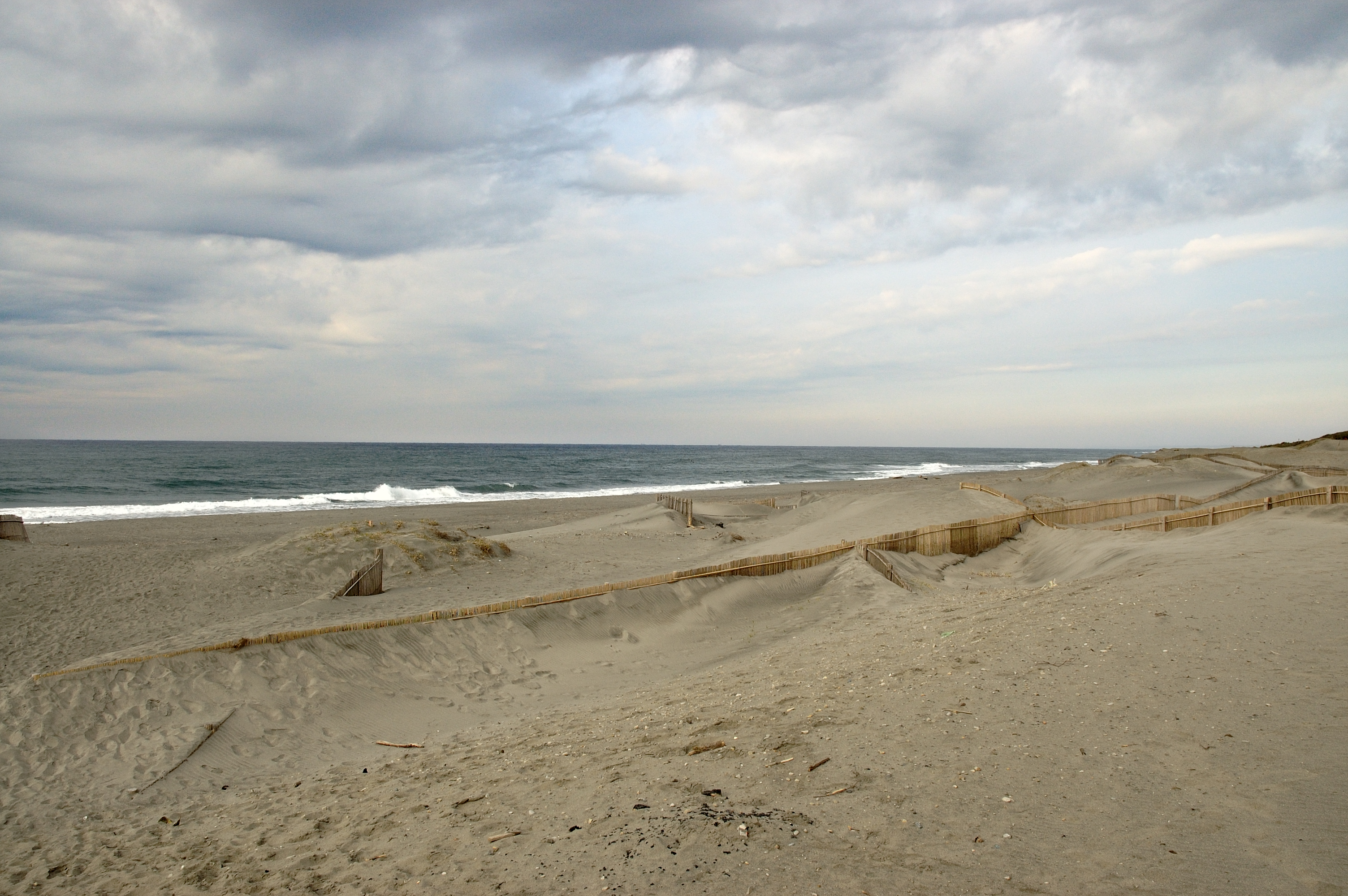
coast of Japan. The sand dune area measures approximately 0.6 km from north to south and 4.0 km from east to west. It is considered one of Japan's three largest sand dune areas along with the Tottori Sand Dunes
The are sand dunes located outside the city center of Tottori in Tottori Prefecture, Japan. At a length of and less than wide, it is the largest sand dune in Japan. The sand dunes are part of San'in Kaigan Geopark, which is part of The UN ...
in Tottori Prefecture
is a prefecture of Japan located in the Chūgoku region of Honshu. Tottori Prefecture is the least populous prefecture of Japan at 570,569 (2016) and has a geographic area of . Tottori Prefecture borders Shimane Prefecture to the west, Hiro ...
and Kujyūkurihama in Chiba Prefecture
is a prefecture of Japan located in the Kantō region of Honshu. Chiba Prefecture has a population of 6,278,060 (1 June 2019) and has a geographic area of . Chiba Prefecture borders Ibaraki Prefecture to the north, Saitama Prefecture to t ...
.
The dunes were created by sediment deposits carried from the Southern Japanese Alps by the Tenryū River
The is a river in central Honshū, Japan. With a length of , it is Japan's ninth longest river.
Its source is Lake Suwa in the Kiso Mountains near Okaya in Nagano Prefecture. It then flows through Aichi Prefecture and western Shizuoka Prefect ...
into the Pacific Ocean off the coast of Hamamatsu. Sea currents and strong wind help bring the sand from the bottom up onto the shore, where the wind constantly rearranges their shape. The dunes have existed for thousands of years, but the area of the dunes has been steadily decreasing due to numerous dam
A dam is a barrier that stops or restricts the flow of surface water or underground streams. Reservoirs created by dams not only suppress floods but also provide water for activities such as irrigation, human consumption, industrial use ...
s built on the Tenryū River for hydroelectric power
Hydroelectricity, or hydroelectric power, is electricity generated from hydropower (water power). Hydropower supplies one sixth of the world's electricity, almost 4500 TWh in 2020, which is more than all other renewable sources combined an ...
generation and irrigation. Additionally, concrete barriers erected to protect the coast from tsunami
A tsunami ( ; from ja, 津波, lit=harbour wave, ) is a series of waves in a water body caused by the displacement of a large volume of water, generally in an ocean or a large lake. Earthquakes, volcanic eruptions and other underwater exp ...
and typhoon
A typhoon is a mature tropical cyclone that develops between 180° and 100°E in the Northern Hemisphere. This region is referred to as the Northwestern Pacific Basin, and is the most active tropical cyclone basin on Earth, accounting for a ...
tidal surge
A storm surge, storm flood, tidal surge, or storm tide is a coastal flood or tsunami-like phenomenon of rising water commonly associated with low-pressure weather systems, such as cyclones. It is measured as the rise in water level above the ...
s have disrupted the currents responsible for bringing the sand to shore. The shoreline has receded about 200 meters during the past 40 years.
In recent years, the Shizuoka prefectural government has attempted measures to stop the shrinkage of the dunes by banning the commercial extraction of sand
Sand mining is the extraction of sand, mainly through an open pit (or sand pit) but sometimes mined from beaches and inland dunes or dredged from ocean and river beds. Sand is often used in manufacturing, for example as an abrasive or in concr ...
, and (from 2003) by dumping sand offshore near the dunes, as well as employing the manual removal of encroaching grassy areas. The lasting ability for these efforts to protect the dunes is not yet known.
The Nakatajima Sand Dunes are a popular spot for locals to view the New Year's first sun rise. From May 3 till May 5, the dunes are the location for the Hamamatsu Festival, which involves flying of traditional Japanese kite
A kite is a tethered heavier-than-air or lighter-than-air craft with wing surfaces that react against the air to create lift and drag forces. A kite consists of wings, tethers and anchors. Kites often have a bridle and tail to guide the fac ...
s.
In the summer the loggerhead turtles land onto the beach to lay eggs, which are then collected to a secure area for incubation. When hatchlings hatch, they exit the secure area and head for the Pacific Ocean, where the offshore Kuroshio Current
The , also known as the Black or or the is a north-flowing, warm ocean current on the west side of the North Pacific Ocean basin. It was named for the deep blue appearance of its waters. Similar to the Gulf Stream in the North Atlantic, the Ku ...
is a part of the Pacific circulatory system.
External links
Hamamatsu Nakatajima Sand Dunes
NHK
, also known as NHK, is a Japanese public broadcaster. NHK, which has always been known by this romanized initialism in Japanese, is a statutory corporation funded by viewers' payments of a television license fee.
NHK operates two terrestr ...
{{coord, 34, 39, 54, N, 137, 44, 32, E, region:JP_type:landmark, display=title
Hamamatsu
Tourist attractions in Shizuoka Prefecture
Dunes of Japan
Landforms of Shizuoka Prefecture