Maw Daung on:
[Wikipedia]
[Google]
[Amazon]

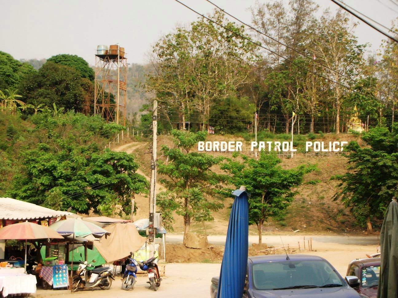
 Singkhon Pass ( th, ด่านสิงขร), also referred to as Sing Khon and as Maw Daung after the name of the Burmese town west of the border, is a pass across the
Pattaya Mail - Dan Sing Khon border crossing upgrade under way
/ref>
{{Border Crossings of Myanmar Tenasserim Hills Mountain passes of Thailand Mountain passes of Myanmar Myanmar–Thailand border crossings Geography of Prachuap Khiri Khan province
Tenasserim Hills
The Tenasserim Hills or Tenasserim Range ( my, တနင်္သာရီ တောင်တန်း, ; th, ทิวเขาตะนาวศรี, , ; ms, Banjaran Tanah Seri/Banjaran Tenang Sari) is the geographical name of a r ...
on the border between Thailand
Thailand ( ), historically known as Siam () and officially the Kingdom of Thailand, is a country in Southeast Asia, located at the centre of the Indochinese Peninsula, spanning , with a population of almost 70 million. The country is b ...
and Myanmar
Myanmar, ; UK pronunciations: US pronunciations incl. . Note: Wikipedia's IPA conventions require indicating /r/ even in British English although only some British English speakers pronounce r at the end of syllables. As John Wells explai ...
, at an elevation of . The pass is close to the narrowest point of Thailand
Thailand ( ), historically known as Siam () and officially the Kingdom of Thailand, is a country in Southeast Asia, located at the centre of the Indochinese Peninsula, spanning , with a population of almost 70 million. The country is b ...
in Khlong Wan (คลองวาฬ) subdistrict, Mueang Prachuap Khiri Khan District, Prachuap Khiri Khan Province.
History
Singkhon pass was important during the wars between Siam and the Burmese, and also duringWorld War II
World War II or the Second World War, often abbreviated as WWII or WW2, was a world war that lasted from 1939 to 1945. It involved the vast majority of the world's countries—including all of the great powers—forming two opposing ...
, when the Mergui Road
Mergui Road was a transit route in the area of the Singkhon Pass between Burma and Thailand, built and used during World War II by Imperial Japan. The road connected Prachuap Khiri Khan to Mergui via Tenasserim on the Burmese south coast. It was ...
was constructed by the Japanese invaders. The pass, on Thai Hwy 1039, about to the west of its junction with Thailand Route 41
Highway 41 (41 ) starts at intersection with Route 4 in Chumphon Province. It goes southward passing through Surat Thani Province and Nakhon Si Thammarat Province. It ends at Phatthalung Province joining Route 4 again.
Route Details
Route 41 ...
, was formerly closed, but was informally opened since May 2013 as a result of bilateral agreements.
The road on the Burmese side leads to Myeik – via Mawdaung and Tanintharyi – and has been recently been repaired. Singkhon Pass has been upgraded since late-2014 with improved public utilities, urban planning, and landscaping.
The official inauguration ceremony of the border crossing took place on 23 May 2015 with a crowd of about 2000 from both sides of the border attending the event.
Tourism
The Singkhon Pass border checkpoint is currently also being developed as a tourist attraction with new shops opening in the area by the road on the Thai side. It is also a place whereby traffic from one side of the road must change over to drive on the opposite side of the road./ref>
References
External links
*{{Border Crossings of Myanmar Tenasserim Hills Mountain passes of Thailand Mountain passes of Myanmar Myanmar–Thailand border crossings Geography of Prachuap Khiri Khan province