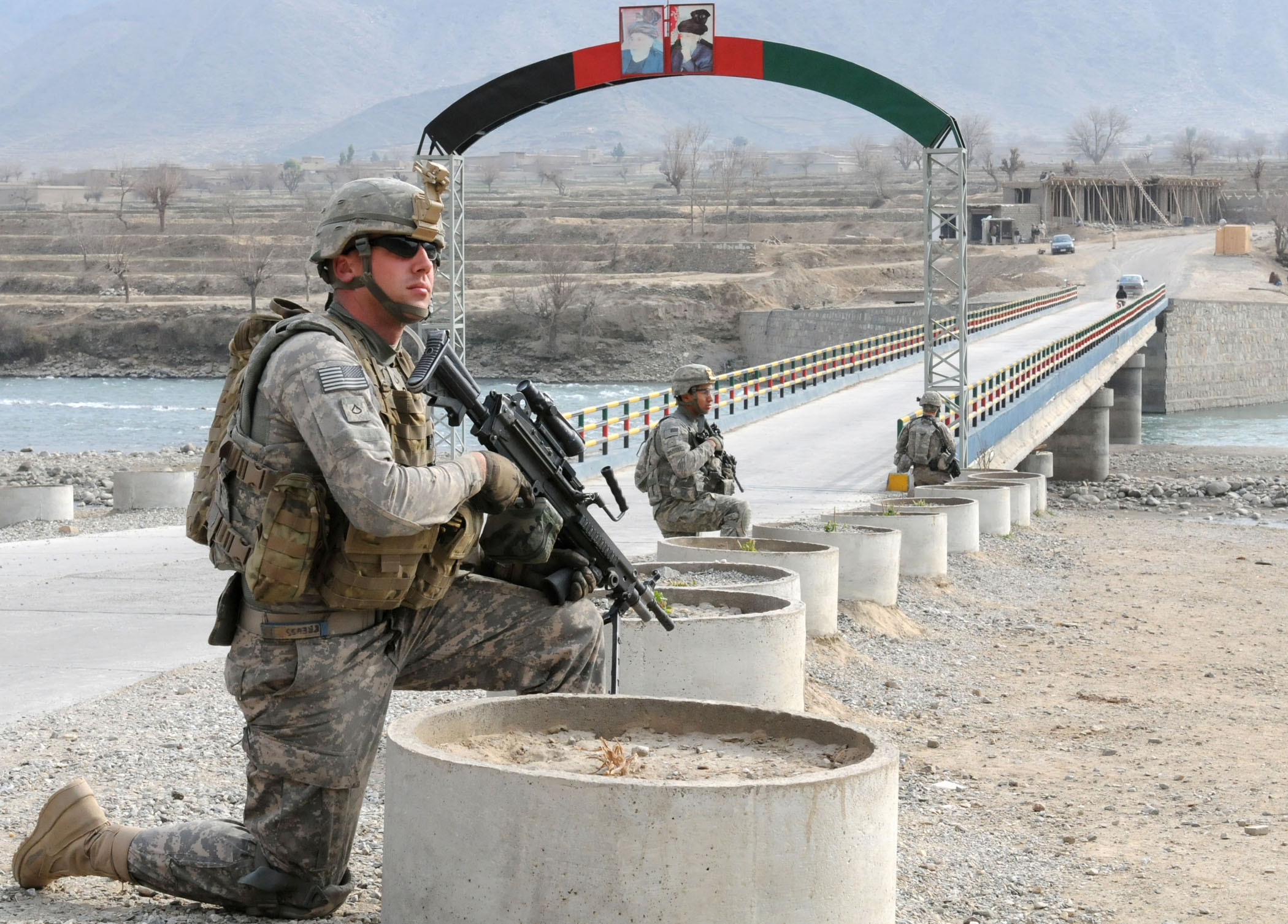
Marawara District on:
[Wikipedia]
[Google]
[Amazon]
 Marawara District (; ) is one of the 15 districts in Kunar Province,
AIMS District MapDistrict Profile
Districts of Kunar Province {{Kunar-geo-stub
 Marawara District (; ) is one of the 15 districts in Kunar Province,
 Afghanistan
Afghanistan, officially the Islamic Emirate of Afghanistan,; prs, امارت اسلامی افغانستان is a landlocked country located at the crossroads of Central Asia and South Asia. Referred to as the Heart of Asia, it is borde ...
. It borders Sirkanay District to the west, Asadabad District to the north-west, Dangam District to the north-east and the Durand Line
The Durand Line ( ps, د ډیورنډ کرښه; ur, ), forms the Pakistan–Afghanistan border, a international land border between Pakistan and Afghanistan in South Asia. The western end runs to the border with Iran and the eastern end to th ...
to the south. Marawara's population is not exactly known but government figures estimate it to be around 22,270 people, all of them being ethnic Pashtuns
Pashtuns (, , ; ps, پښتانه, ), also known as Pakhtuns or Pathans, are an Iranian ethnic group who are native to the geographic region of Pashtunistan in the present-day countries of Afghanistan and Pakistan. They were historically r ...
. Marawara village is the center of the district and is located in its westernmost part.
The dominant tribe in the district is the Pashtun Mamund
The Mamund (or Mamond) ( ur, , ps, ) is a Pashtun clan which is a part of the larger Tarkani tribe. The clan is located principally in the Watelai valley (also known as Mamund Valley), Bajaur, but also owns villages on both sides of the Du ...
clan, currently headed by Haji Abdul Wali Khan Mamond following the death of his father, Haji Hazrat Rahman. The mountainous terrain and the lack of arable land
Arable land (from the la, arabilis, "able to be ploughed") is any land capable of being ploughed and used to grow crops.''Oxford English Dictionary'', "arable, ''adj''. and ''n.''" Oxford University Press (Oxford), 2013. Alternatively, for th ...
and irrigation systems is the main problem in this area. Marawara is also one of the few strategic districts in terms of its unique location and high mountainous terrains connecting Kunar to Pakistan
Pakistan ( ur, ), officially the Islamic Republic of Pakistan ( ur, , label=none), is a country in South Asia. It is the world's List of countries and dependencies by population, fifth-most populous country, with a population of almost 24 ...
via the Durand Line.
See also
*Districts of Afghanistan
The districts of Afghanistan, known as ''wuleswali'' ( ps, ولسوالۍ, ''wuləswāləi''; fa, شهرستان, ''shahrestān'') are secondary-level administrative units, one level below provinces. The Afghan government issued its first ...
References
External links
AIMS District Map
Districts of Kunar Province {{Kunar-geo-stub