Longriggend on:
[Wikipedia]
[Google]
[Amazon]


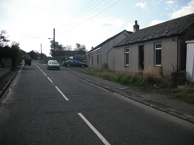
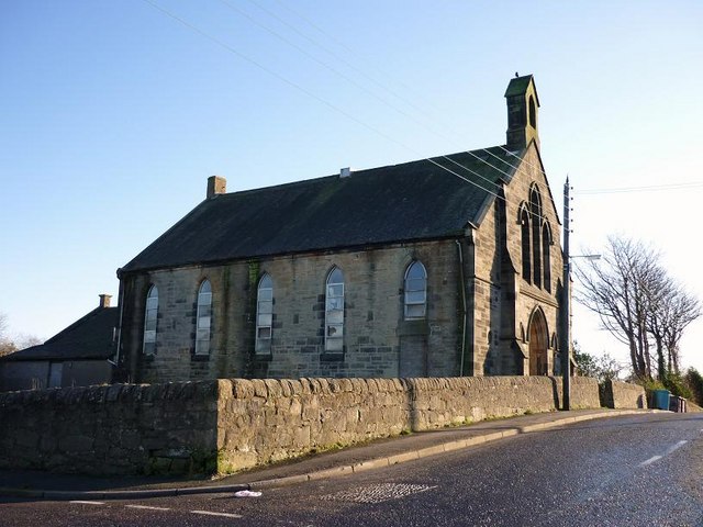
 Longriggend is a village in


 Longriggend is a village in
 North Lanarkshire
North Lanarkshire ( sco, North Lanrikshire; gd, Siorrachd Lannraig a Tuath) is one of 32 council areas of Scotland. It borders the northeast of the City of Glasgow and contains many of Glasgow's suburbs and commuter towns and villages. It als ...
, Scotland, with a population of approximately 200. It is situated on moorland 8 km north-east of Airdrie, in the parish
A parish is a territorial entity in many Christian denominations, constituting a division within a diocese. A parish is under the pastoral care and clerical jurisdiction of a priest, often termed a parish priest, who might be assisted by one or ...
of New Monkland. It is roughly half way between Upperton and Caldercruix. The village appeared on a map by Timothy Pont
Rev Timothy Pont (c. 1560–c.1627) was a Scottish minister, cartographer and topographer. He was the first to produce a detailed map of Scotland. Pont's maps are among the earliest surviving to show a European country in minute detail, from an ...
, under the name of ''Langrodge''. It was published in 1596 but the letters are difficult to read. The toponymy is listed along with other -rigg placenames. Longriggend is also shown on another map by Roy c1754. Slamannan Railway
The Slamannan Railway was an early mineral railway between the north-eastern margin of Airdrie and Causewayend on the Union Canal, near Linlithgow, Scotland.
The Slamannan Railway was built to give access for minerals from pits in the Slaman ...
joined Longriggend with Airdrie and the Union Canal
Union commonly refers to:
* Trade union, an organization of workers
* Union (set theory), in mathematics, a fundamental operation on sets
Union may also refer to:
Arts and entertainment
Music
* Union (band), an American rock group
** '' ...
in 1840, but its gauge
Gauge ( or ) may refer to:
Measurement
* Gauge (instrument), any of a variety of measuring instruments
* Gauge (firearms)
* Wire gauge, a measure of the size of a wire
** American wire gauge, a common measure of nonferrous wire diameter, es ...
prevented its connection with the ''Edinburgh & Glasgow Railway''. Coal pits in the area used the railway extensively, and by 1895 there was a station at Longriggend. By 1901 its population had reached over 1500, and it had a post and telegraph
Telegraphy is the long-distance transmission of messages where the sender uses symbolic codes, known to the recipient, rather than a physical exchange of an object bearing the message. Thus flag semaphore is a method of telegraphy, whereas ...
office, and an inn nearby.
The Ordnance Survey
Ordnance Survey (OS) is the national mapping agency for Great Britain. The agency's name indicates its original military purpose (see ordnance and surveying), which was to map Scotland in the wake of the Jacobite rising of 1745. There was a ...
in 1867 also recorded a Roman Catholic
Roman or Romans most often refers to:
* Rome, the capital city of Italy
*Ancient Rome, Roman civilization from 8th century BC to 5th century AD
* Roman people, the people of ancient Rome
*'' Epistle to the Romans'', shortened to ''Romans'', a let ...
school in the village.
Longriggend Fever Hospital and Remand Institution
Historically, there was a tuberculosissanitorium
A sanatorium (from Latin '' sānāre'' 'to heal, make healthy'), also sanitarium or sanitorium, are antiquated names for specialised hospitals, for the treatment of specific diseases, related ailments and convalescence. Sanatoriums are often ...
in the part of the village now known as Upperton. The hospital was converted into Longriggend Remand Institution which has now been closed and demolished.
References
Villages in North Lanarkshire {{Scotland-stub