List of airports in Suriname on:
[Wikipedia]
[Google]
[Amazon]
 This is a list of
Civil Aviation Department of Suriname
* * - includes IATA codes
World Aero Data: Airports in Suriname
- ICAO codes, airport data
Great Circle Mapper: Airports in Suriname
- IATA and ICAO codes
GEOnet Names Server
- district names
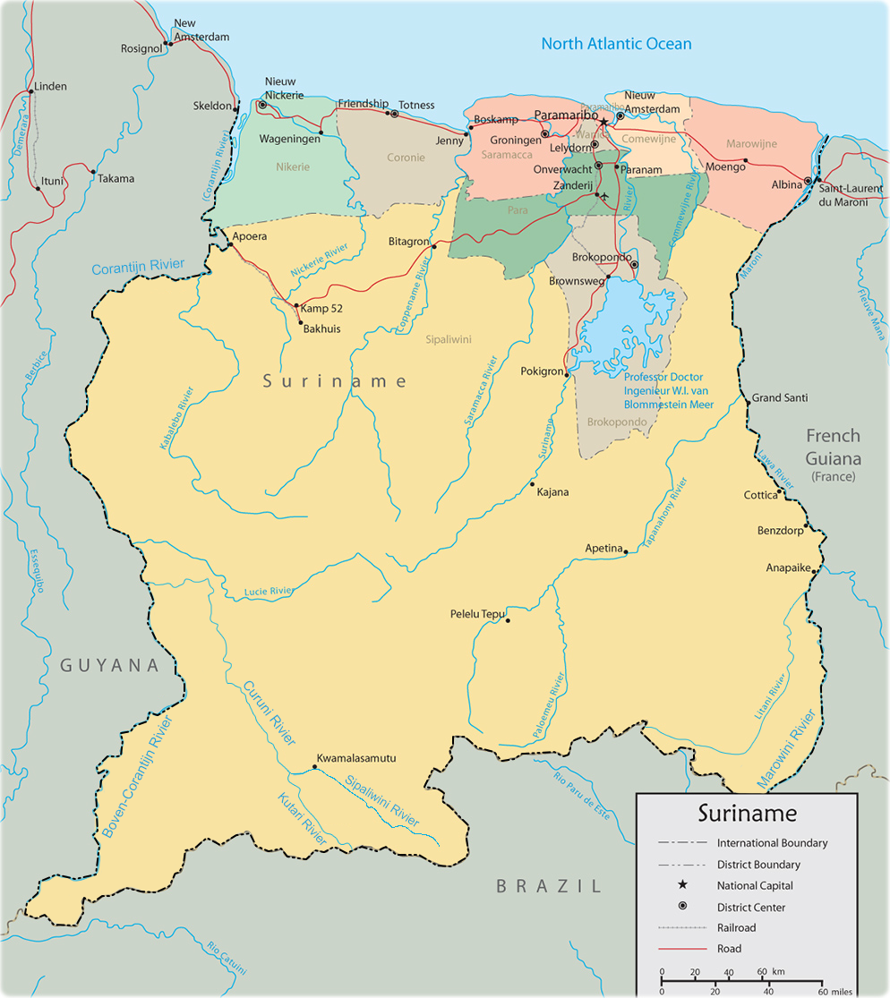
Large map of Suriname
Airstrip characteristics
Flood relief map
{{South America in topic, List of airports in Suriname Airports Suriname Airports
 This is a list of
 airport
An airport is an aerodrome with extended facilities, mostly for commercial air transport. Airports usually consists of a landing area, which comprises an aerially accessible open space including at least one operationally active surfa ...
s in Suriname, sorted by location.
Suriname, officially the Republic of Suriname, is a country in northern South America
South America is a continent entirely in the Western Hemisphere and mostly in the Southern Hemisphere, with a relatively small portion in the Northern Hemisphere at the northern tip of the continent. It can also be described as the sout ...
. It is situated between French Guiana
French Guiana ( or ; french: link=no, Guyane ; gcr, label=French Guianese Creole, Lagwiyann ) is an overseas department/region and single territorial collectivity of France on the northern Atlantic coast of South America in the Guianas. ...
to the east and Guyana to the west. The southern border is shared with Brazil
Brazil ( pt, Brasil; ), officially the Federative Republic of Brazil (Portuguese: ), is the largest country in both South America and Latin America. At and with over 217 million people, Brazil is the world's fifth-largest country by area ...
and the northern border is the Atlantic
The Atlantic Ocean is the second-largest of the world's five oceans, with an area of about . It covers approximately 20% of Earth's surface and about 29% of its water surface area. It is known to separate the " Old World" of Africa, Europe an ...
coast. Suriname is the smallest sovereign state in terms of area
Area is the quantity that expresses the extent of a region on the plane or on a curved surface. The area of a plane region or ''plane area'' refers to the area of a shape or planar lamina, while '' surface area'' refers to the area of an ope ...
and population
Population typically refers to the number of people in a single area, whether it be a city or town, region, country, continent, or the world. Governments typically quantify the size of the resident population within their jurisdiction using a ...
in South America. The country is the only Dutch-speaking region in the Western Hemisphere
The Western Hemisphere is the half of the planet Earth that lies west of the prime meridian (which crosses Greenwich, London, United Kingdom) and east of the antimeridian. The other half is called the Eastern Hemisphere. Politically, the te ...
that is not a part of the Kingdom of the Netherlands
, national_anthem = )
, image_map = Kingdom of the Netherlands (orthographic projection).svg
, map_width = 250px
, image_map2 = File:KonDerNed-10-10-10.png
, map_caption2 = Map of the four constituent countries shown to scale
, capital = ...
.
__TOC__
Airports
Airport names shown in bold indicate the airport has scheduled service on commercial airlines. Airports with unverified coordinates:Map
See also
* Transport in Suriname * Operation Grasshopper * List of airports by ICAO code: S#SM - Suriname * Wikipedia: WikiProject Aviation/Airline destination lists: South America#SurinameReferences
Civil Aviation Department of Suriname
* * - includes IATA codes
World Aero Data: Airports in Suriname
- ICAO codes, airport data
Great Circle Mapper: Airports in Suriname
- IATA and ICAO codes
GEOnet Names Server
- district names
Large map of Suriname
Airstrip characteristics
Flood relief map
{{South America in topic, List of airports in Suriname Airports Suriname Airports