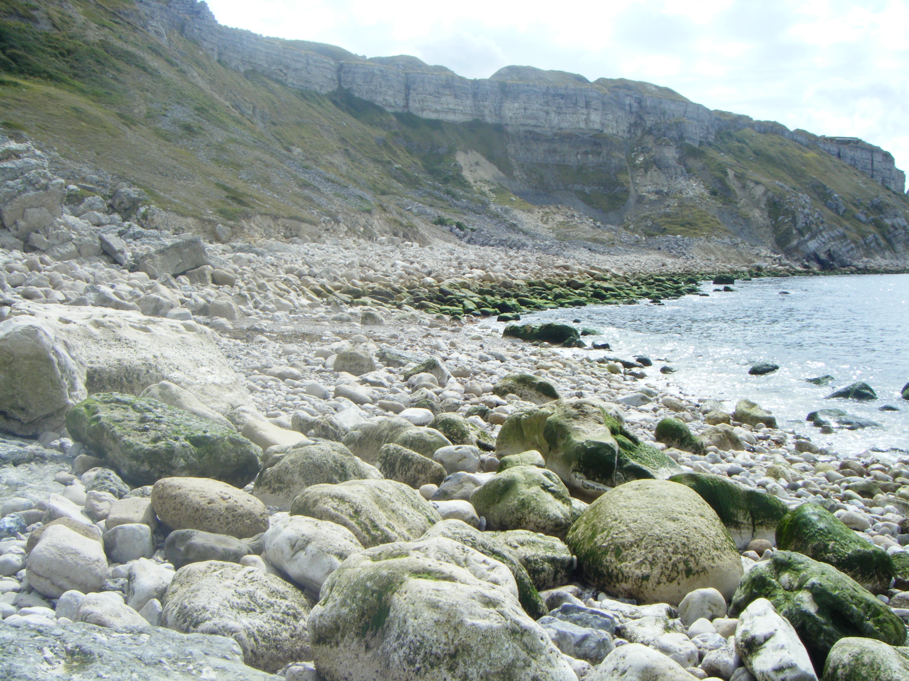
Hallelujah Bay on:
[Wikipedia]
[Google]
[Amazon]
 Hallelujah Bay is a bay located on the west side of the
Isle of Portland
An isle is an island, land surrounded by water. The term is very common in British English
British English (BrE, en-GB, or BE) is, according to Lexico, Oxford Dictionaries, "English language, English as used in Great Britain, as distinct fr ...
, Dorset
Dorset ( ; archaically: Dorsetshire , ) is a county in South West England on the English Channel coast. The ceremonial county comprises the unitary authority areas of Bournemouth, Christchurch and Poole and Dorset. Covering an area of , ...
, England
England is a country that is part of the United Kingdom. It shares land borders with Wales to its west and Scotland to its north. The Irish Sea lies northwest and the Celtic Sea to the southwest. It is separated from continental Europe b ...
. The bay is situated below West Weares, with Clay Ope, Blacknor Point and Mutton Cove further south. Near the cove is a large mound of rock and earth beneath the clifftops known locally as the Green Hump.
The official public right of way leading to the bay has been subject to landslips over the decades. In 2014, the path was officially closed by the council due to landslides and falling rocks.
History
The quarryman Hiram Otter began creating a public footpath fromChesil Cove
Chesil Cove is a curved steep bank forming the south-east end of Chesil Beach in Dorset, England. It is thus part of one of three large shingle structures in Britain, extending from West Bay to the Isle of Portland (Portland Bill), the latter ...
to Hallelujah Bay in the 1880s. He became renowned for etching biblical inscriptions onto the boulders he successfully moved, and then crying "Alleluia!" when each text was completed. He christened the bay as Alleluia Bay (or Hallelujah Bay).
In 2012, the bay was used for an artistic celebration, with stacked towers of stone pebbles being balanced by a hundred locals of all ages. The event was organised by Portland Stone Stax and was held at the bay again in 2013.
Tar Rocks
Tar Rocks are located near the bay. They are the relics of an ancient landslide, with the majority often hidden at high tide. The British cargo steamer SS ''Thames'' was wrecked at Tar Rocks in 1891, after being driven ashore in fog. In 1930, SS ''Barmston'', a collier, was also wrecked at the site and became a total loss.References
{{Jurassic Coast Bays of Dorset Isle of Portland Jurassic Coast