Flat (landform) on:
[Wikipedia]
[Google]
[Amazon]
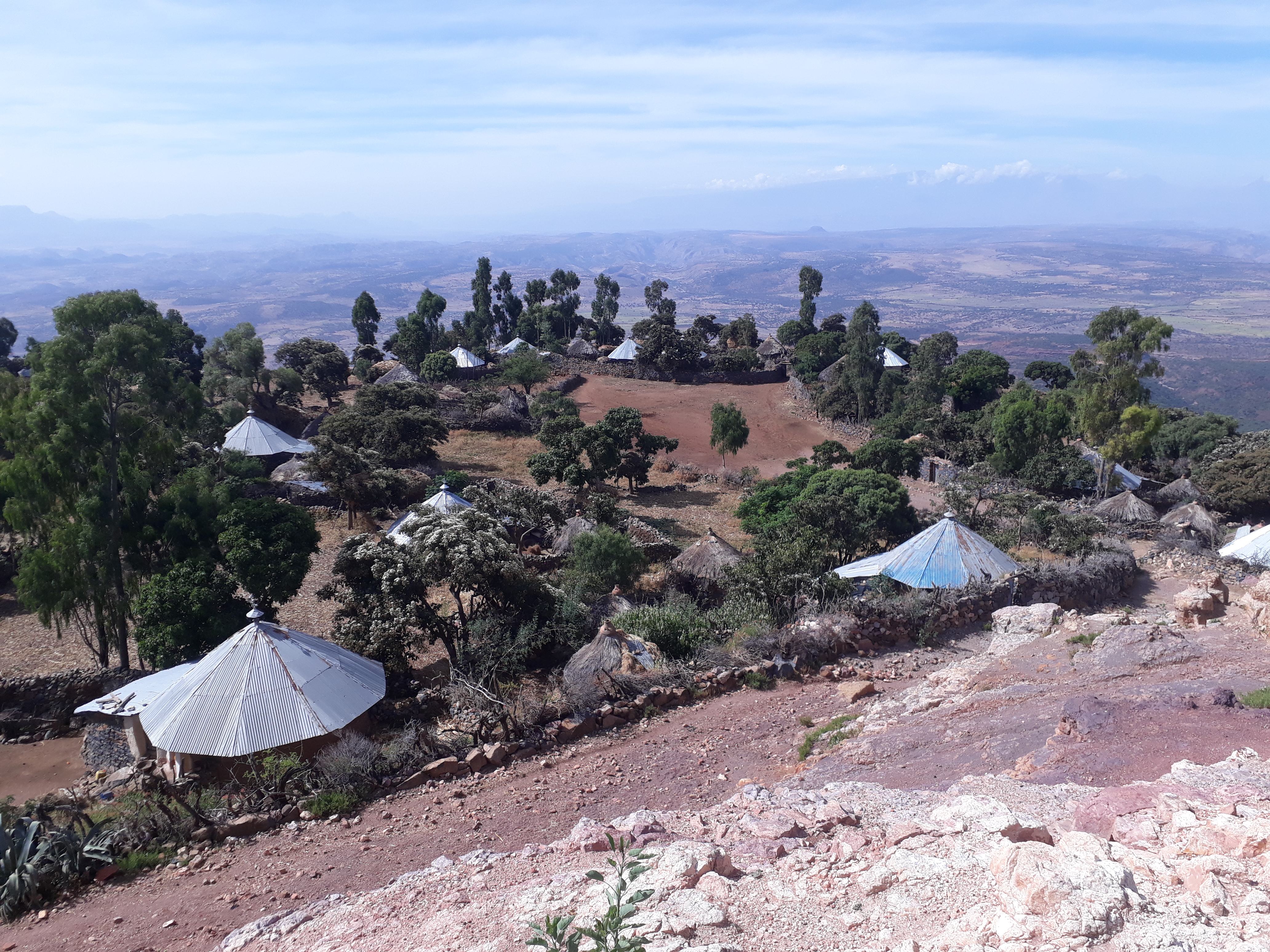
 A flat is a relatively level surface of
 A flat is a relatively level surface of
 land
Land, also known as dry land, ground, or earth, is the solid terrestrial surface of the planet Earth that is not submerged by the ocean or other bodies of water. It makes up 29% of Earth's surface and includes the continents and various islan ...
within a region of greater relief, such as hill
A hill is a landform that extends above the surrounding terrain. It often has a distinct Summit (topography), summit.
Terminology
The distinction between a hill and a mountain is unclear and largely subjective, but a hill is universally con ...
s or mountain
A mountain is an elevated portion of the Earth's crust, generally with steep sides that show significant exposed bedrock. Although definitions vary, a mountain may differ from a plateau in having a limited Summit (topography), summit area, and ...
s, usually used in the plural. The term is often used to name places with such features, for example, Yucca Flat
Yucca Flat is a closed desert drainage basin, one of four major nuclear test regions within the Nevada Test Site (NTS), and is divided into nine test sections: Areas 1 through 4 and 6 through 10. Yucca Flat is located at the eastern edge of NTS, ...
or Henninger Flats
Henninger Flats is a small hanging basin above sea level in the San Gabriel Mountains in the Angeles National Forest. It was part of the Mount Wilson Toll Road. The trailhead to reach the flats is at the top end of Eaton Canyon in Pasadena, Cali ...
.
''Flat'' is also used to describe other level geographic areas as mud flat
Mudflats or mud flats, also known as tidal flats or, in Ireland, slob or slobs, are coastal wetlands that form in intertidal areas where sediments have been deposited by tides or rivers. A global analysis published in 2019 suggested that tidal fl ...
s or salt flats.
See also
* *References
Landforms {{Geo-term-stub