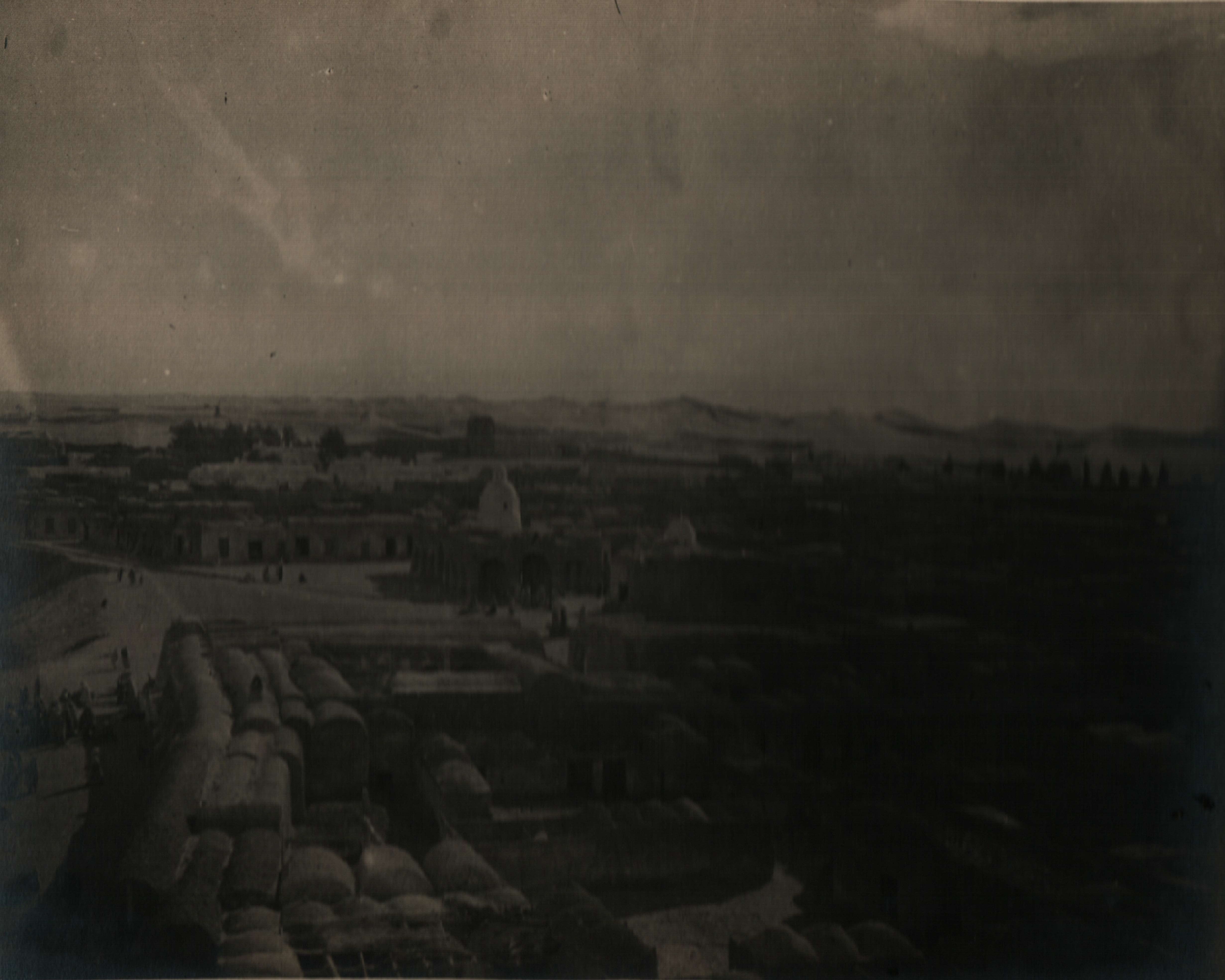
El Oued on:
[Wikipedia]
[Google]
[Amazon]
El Oued ( ar, اﻟﻮادي, ber, Suf meaning ''the River''), Souf or Oued Souf is a city, and the capital of

 In 11th, Fatimids send
El-Oued: Pearl of Sahara
{{Authority control Communes of El Oued Province Oases of Algeria Cities in Algeria Province seats of Algeria El Oued Province
El Oued Province
El Oued ( ar, ولاية الوادي, ber, ⴻⵍ oⵓⴻⴷ) is a Saharan province of Algeria (n° 39) dominated by ''Oued Souf''. It was named after its eponymous capital. Notable towns include El Oued itself and El M'Ghair, Djamaa and Guem ...
, in Algeria
)
, image_map = Algeria (centered orthographic projection).svg
, map_caption =
, image_map2 =
, capital = Algiers
, coordinates =
, largest_city = capital
, relig ...
. The oasis town is watered by an underground river, hence its name is El Oued which enables date palm cultivation and the rare use (for the desert) of brick construction for housing. As most roofs are domed, it is known as the "City of a Thousand Domes".
El Oued is located south east of Algiers (the capital city of Algeria), near the Tunisia
)
, image_map = Tunisia location (orthographic projection).svg
, map_caption = Location of Tunisia in northern Africa
, image_map2 =
, capital = Tunis
, largest_city = capital
, ...
n border. The population of El Oued was 134,699 as of the 2008 census, up from 105,256 in 1998, with a population growth rate of 2.5%.
History

 In 11th, Fatimids send
 Banu Hilal
The Banu Hilal ( ar, بنو هلال, translit=Banū Hilāl) was a confederation of Arabian tribes from the Hejaz and Najd regions of the Arabian Peninsula that emigrated to North Africa in the 11th century. Masters of the vast plateaux of t ...
in Tripolitania
Tripolitania ( ar, طرابلس '; ber, Ṭrables, script=Latn; from Vulgar Latin: , from la, Regio Tripolitana, from grc-gre, Τριπολιτάνια), historically known as the Tripoli region, is a historic region and former province o ...
, Tunisia
)
, image_map = Tunisia location (orthographic projection).svg
, map_caption = Location of Tunisia in northern Africa
, image_map2 =
, capital = Tunis
, largest_city = capital
, ...
and Constantine area against Zirids
The Zirid dynasty ( ar, الزيريون, translit=az-zīriyyūn), Banu Ziri ( ar, بنو زيري, translit=banū zīrī), or the Zirid state ( ar, الدولة الزيرية, translit=ad-dawla az-zīriyya) was a Sanhaja Berber dynasty from ...
.
Culture
The inhabitants are thought to be Teroud tribe (Arabic
Arabic (, ' ; , ' or ) is a Semitic language spoken primarily across the Arab world.Semitic languages: an international handbook / edited by Stefan Weninger; in collaboration with Geoffrey Khan, Michael P. Streck, Janet C. E.Watson; Walter ...
: بنو طرود) living in and near Oued Souf area, however it is more likely that modern day Soufis are descendants of the original inhabitants of the oasis.
Climate
El Oued has ahot desert climate
The desert climate or arid climate (in the Köppen climate classification ''BWh'' and ''BWk''), is a dry climate sub-type in which there is a severe excess of evaporation over precipitation. The typically bald, rocky, or sandy surfaces in desert ...
(Köppen climate classification
The Köppen climate classification is one of the most widely used climate classification systems. It was first published by German-Russian climatologist Wladimir Köppen (1846–1940) in 1884, with several later modifications by Köppen, notabl ...
''BWh''), with very hot summers and mild winters. Rainfall is light and sporadic, and summers are particularly dry.
Transportation
The N16 highway connects El Oued toTouggourt
Touggourt ( ar, ﺗﻗﺮت or تڤرت; ber, ⵜⵓⴳⵓⵔⵜ, Tugurt, lit=the gateway or 'the gate') is a city and commune, former sultanate and capital of Touggourt District, in Touggourt Province, Algeria, built next to an oasis in the Sa ...
to the southwest and Tebessa to the northeast. The N48 connects El Oued to the town of Still
A still is an apparatus used to distill liquid mixtures by heating to selectively boil and then cooling to condense the vapor. A still uses the same concepts as a basic distillation apparatus, but on a much larger scale. Stills have been use ...
to the north, from which the N3 may be used to reach Biskra
Biskra ( ar, بسكرة ; ; Latin Vescera) is the capital city of Biskra Province, Algeria. In 2007, its population was recorded as 307,987. Biskra is located in northeastern Algeria, about 248 miles (400 km) from Algiers, 71 miles (115&n ...
.
El Oued lies about south of Guemar Airport.
Education
7.4% of the population has a tertiary education, and another 17.5% has completed secondary education. The overall literacy rate is 86.1% (second highest in the province), and is 91.2% among males (second highest in the province) and 80.6% among females (equal highest in the province).Localities
The commune of El Oued is composed of six localities: *El Oued *Mahda *Legtouta *Keraïma * Oum Sahaouine *Mih Bahi SudReferences
External links
El-Oued: Pearl of Sahara
{{Authority control Communes of El Oued Province Oases of Algeria Cities in Algeria Province seats of Algeria El Oued Province