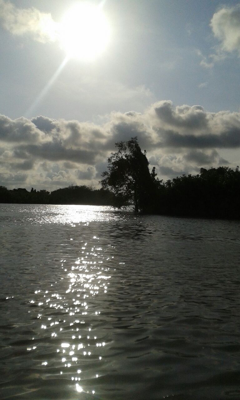
Eastern Obolo on:
[Wikipedia]
[Google]
[Amazon]
Eastern Obolo (or Obolo agan̄ Mbum-ura in the native
 Eastern Obolo is located in the
Obolo language
Obolo (or Andoni) is a major Cross River language of Nigeria
Nigeria ( ), , ig, Naìjíríyà, yo, Nàìjíríà, pcm, Naijá , ff, Naajeeriya, kcg, Naijeriya officially the Federal Republic of Nigeria, is a country in West Africa ...
) is a Local Government Area (LGA) in southern Nigeria, with headquarters at Okoroete. It is a coastal local government area in Akwa-Ibom State
Akwa Ibom State is a state in the South-South geopolitical zone of Nigeria, bordered on the east by Cross River State, on the west by Rivers State and Abia State, and on the south by the Atlantic Ocean. The state takes its name from the Qua Iboe ...
under great tidal influence from the Bight of Bonny. Eastern Obolo LGA was mapped out of Ikot Abasi LGA by the Federal Government of Nigeria on 4th December, 1996 with over 30,000 residents across a total area of approximately 17,000 km². It comprises 16 villages, divided into two clans, namely Okoroete and Iko. It has ten political wards. All the villages in Eastern Obolo are of the Obolo ethnic group , there exist a common ancestral lineage which allows for peaceful coexistence and inter-relationship amongst them.
Location
 Eastern Obolo is located in the
 Niger Delta
The Niger Delta is the delta of the Niger River sitting directly on the Gulf of Guinea on the Atlantic Ocean in Nigeria. It is located within nine coastal southern Nigerian states, which include: all six states from the South South geopolitic ...
fringe between Imo and Qua Iboe Rivers estuaries and lies between latitudes 4° 28' and 4° 53' and longitudes 7° 50' and 7° 55' East. It is bounded to the north by Mkpat Enin Local Government Area, northeast
The points of the compass are a set of horizontal, radially arrayed compass directions (or azimuths) used in navigation and cartography. A compass rose is primarily composed of four cardinal directions—north, east, south, and west—each se ...
by Onna
Onna is a Local Government Area in Akwa Ibom State, Akwa Ibom State, Nigeria. Its name comes from an acronym of the names of the four predominant clans in the area: Oniong, Nnung Ndem, Awa Afaha and Awa.
Onna has a population of about 495,000 ...
, west by Ikot Abasi, southeast by Ibeno Local Government Area and in the south by the Atlantic Ocean
The Atlantic Ocean is the second-largest of the world's five oceans, with an area of about . It covers approximately 20% of Earth's surface and about 29% of its water surface area. It is known to separate the " Old World" of Africa, Europe ...
.
Culture
The cultural heritage is not restricted to the people; rather, to the entireNiger Delta
The Niger Delta is the delta of the Niger River sitting directly on the Gulf of Guinea on the Atlantic Ocean in Nigeria. It is located within nine coastal southern Nigerian states, which include: all six states from the South South geopolitic ...
with unique traditional dressing synonymous with "Etibo" and "Wurkor".
Natural resources
Eastern Obolo has abundantmineral deposits
In geology and mineralogy, a mineral or mineral species is, broadly speaking, a solid chemical compound with a fairly well-defined chemical composition and a specific crystal structure that occurs naturally in pure form.John P. Rafferty, ed. (2 ...
with onshore and offshore oil wells at Elek-Okpoon̄, Iko, Otunene, Emeroke, Ikonta and Obianga. There is a fishing settlements at Educwink, Elek-Okpoon̄, Agan-asa. Forest reserves include mangrove, iroko
Iroko (also known as in Igbo language, '' in the Urhobo language of Southern Nigeria, and as odum in the Kwa languages of Ghana) is a large hardwood tree from the west coast of tropical Africa that can live up to 500 years. This is the common n ...
, raffia, rubber, kolanut, coconut, peas, and mango.
Commerce
Eastern Obolo tradespeople are predominantly fishermen, with over 65 per cent involved in active fishing.People
The people are a combination of Obolo ethnic group and Iko extractions; strong cultural affinity exists among the people. It has a total landmass of 117,008 square kilometers with an estimatedshoreline
A shore or a shoreline is the fringe of land at the edge of a large body of water, such as an ocean, sea, or lake. In physical oceanography, a shore is the wider fringe that is geologically modified by the action of the body of water past a ...
about 184 km long. Obolo language
Obolo (or Andoni) is a major Cross River language of Nigeria
Nigeria ( ), , ig, Naìjíríyà, yo, Nàìjíríà, pcm, Naijá , ff, Naajeeriya, kcg, Naijeriya officially the Federal Republic of Nigeria, is a country in West Africa ...
is the major language of the people as the different communities speak different dialects of Obolo, which are mutually intelligible. The Iko dialect spoken in Iko clan and is intelligible to a large number of people in Eastern Obolo. Iko dialect is closely related to Obolo and to the Okoroutip dialect spoken in Ibeno LGA, the sister/twin LGA of Eastern Obolo.
Population
The community population is predominantly the Obolos(75%), Ibibio and Ibo make up the remaining population. Emigration activities in the community is as a result of low productivity due to poor fish catch, limited farmlands, and the high rate of unemployment.