Craigcrook on:
[Wikipedia]
[Google]
[Amazon]
 Craigcrook is a suburb of
 Craigcrook is a suburb of
 Edinburgh
Edinburgh ( ; gd, Dùn Èideann ) is the capital city of Scotland and one of its 32 Council areas of Scotland, council areas. Historically part of the county of Midlothian (interchangeably Edinburghshire before 1921), it is located in Lothian ...
, Scotland
Scotland (, ) is a country that is part of the United Kingdom. Covering the northern third of the island of Great Britain, mainland Scotland has a border with England to the southeast and is otherwise surrounded by the Atlantic Ocean to the ...
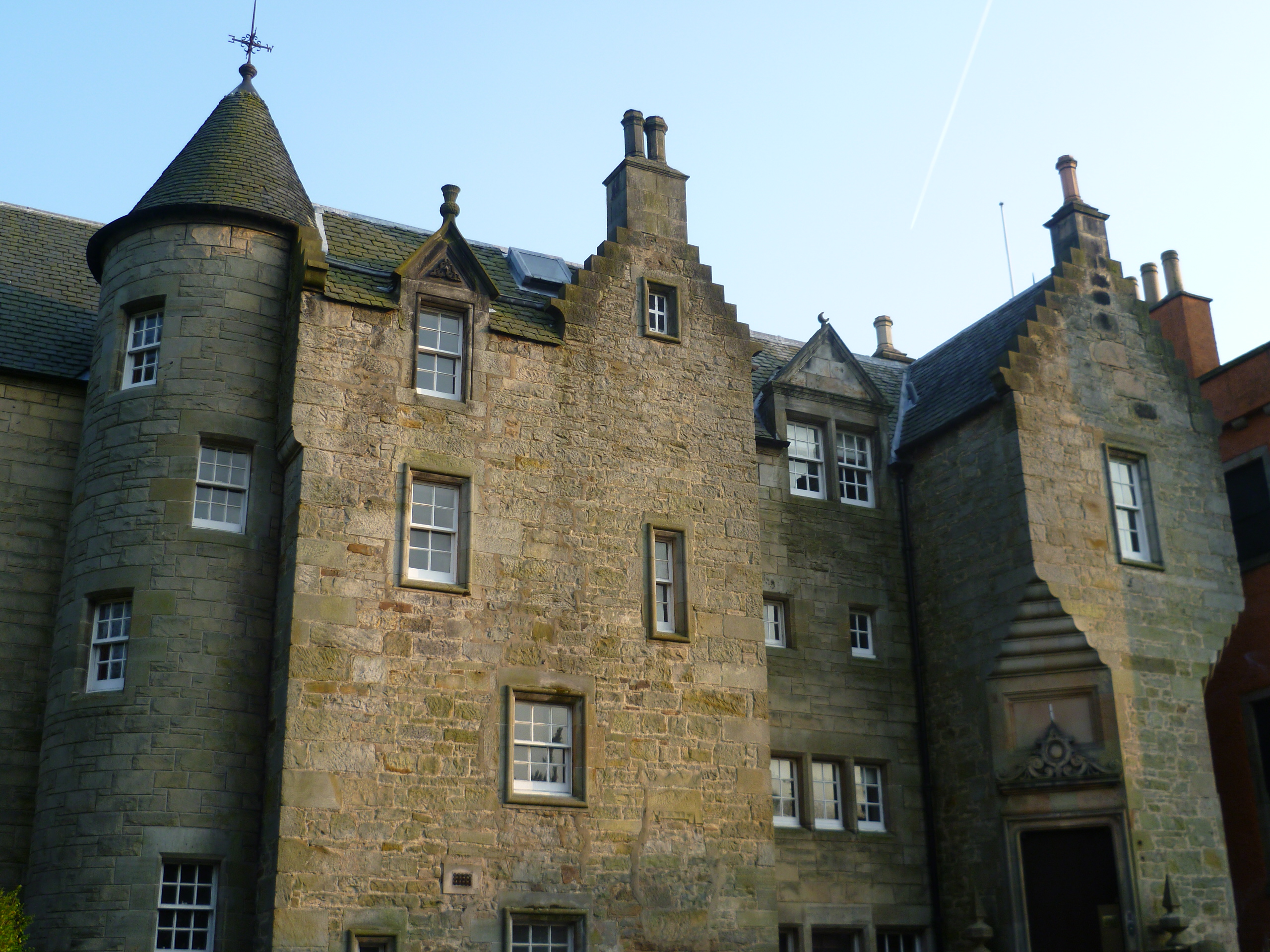
, best known for Craigcrook Castle
Craigcrook Castle is a well-preserved castle giving its name to the Craigcrook district of Edinburgh, about west of the centre of Edinburgh, Scotland. The castle is primarily of the 17th century, though with later additions. In the 19th centur ...
. It is fairly affluent, and lies on the north east slopes of Corstorphine Hill
Corstorphine Hill is a low ridge-shaped hill rising above the western suburbs of Edinburgh, Scotland. Although there has been residential and commercial development on its lower slopes, especially in the south and west, most of the hill is occu ...
. It is near Clerwood
Clermiston is a suburb of Edinburgh, Scotland, to the west of the city and to the immediate north of Corstorphine, on the western slopes of Corstorphine Hill. Clermiston estate, built in 1954, was part of a major 1950s house-building programme ...
, and Blackhall. Davidson's Mains
Davidson's Mains is a former village and now a district in the north-west of Edinburgh, Scotland. It is adjacent to the districts of Barnton, Cramond, Silverknowes, Blackhall and Corbiehill/House O'Hill. It was absorbed into Edinburgh as part ...
lies to the north, separated from the district by the A90 - Queensferry Road.
Apart from Craigcrook Castle and a few isolated farm buildings the area was featureless until 1920, when it became part of the several open lands (including Craigentinny
Craigentinny ( gd, Creag an t-Sionnaich) is a suburb in the north-east of Edinburgh, Scotland, east of Restalrig and close to Portobello.
Its name is a corruption of the Scottish Gaelic ''Creag an t-Sionnaich'' meaning "Foxrock" but more like ...
and Drylaw
Drylaw is an area in the north west of Edinburgh, the capital of Scotland, located between Blackhall and Granton. It forms the community of Drylaw–Telford. Drylaw used to belong to the younger branch of the Foresters of Corstorphine. Former ...
) acquired by the then Edinburgh Corporation and used for low density bungalow development. The low density and distance from the city centre renders the area difficult to support local small shops and public transport.
There are no supermarkets whatsoever within the district, but the adjoining districts of Davidson's Mains
Davidson's Mains is a former village and now a district in the north-west of Edinburgh, Scotland. It is adjacent to the districts of Barnton, Cramond, Silverknowes, Blackhall and Corbiehill/House O'Hill. It was absorbed into Edinburgh as part ...
and Blackhall (Craigleith) cater to local needs.
References
* Bell, Raymond MacKean (2017). ''Literary Corstorphine: A reader's guide to West Edinburgh''. Edinburgh: Leamington Books. . * Harris, Stuart (1996). The Place Names of Edinburgh. Edinburgh: Gordon Wright Publishing. p. 144. . Areas of Edinburgh {{Edinburgh-geo-stub