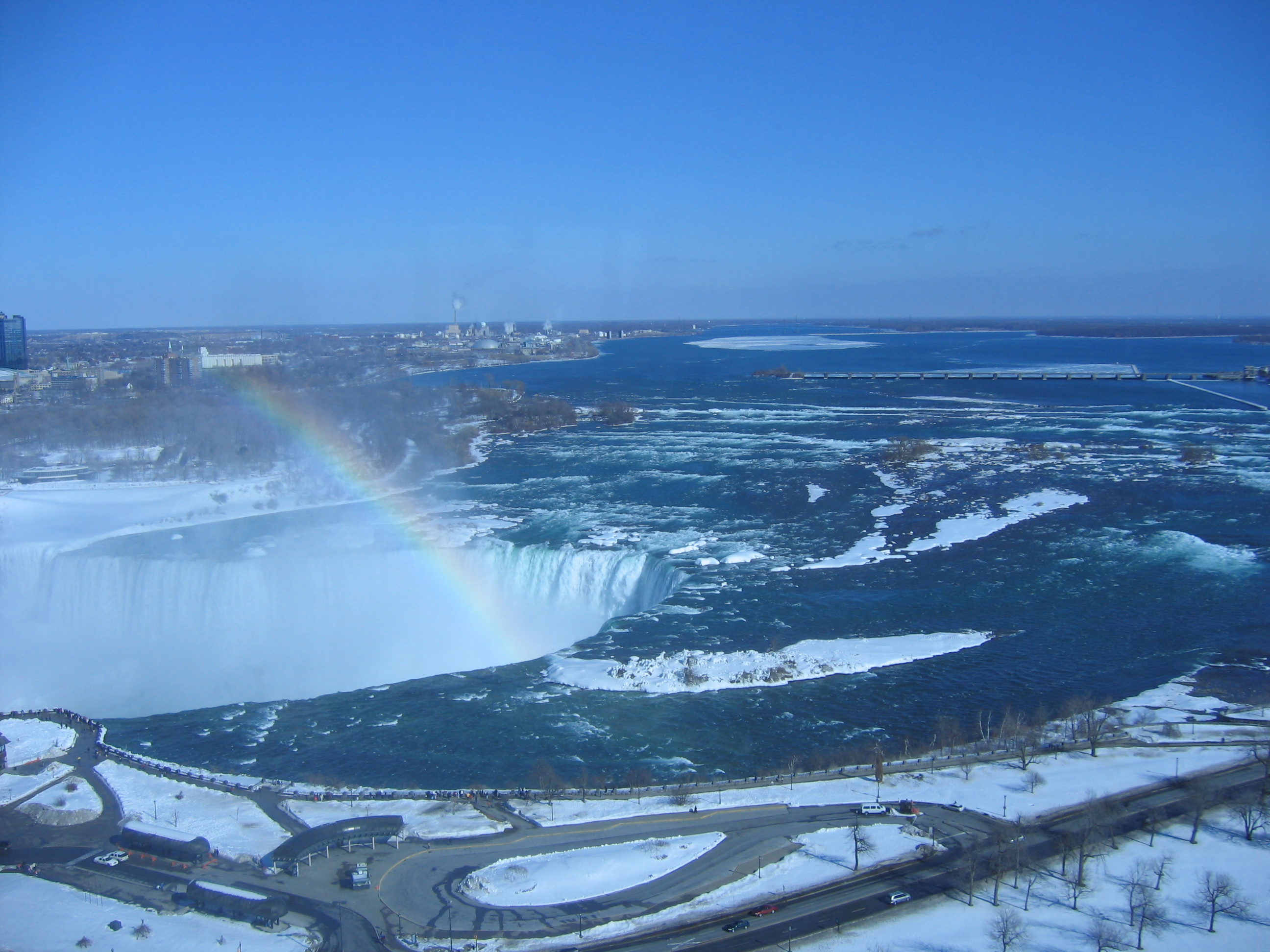
Cedar Island (Niagara River) on:
[Wikipedia]
[Google]
[Amazon]

 Cedar Island was a small, uninhabited and elongated
island
An island (or isle) is an isolated piece of habitat that is surrounded by a dramatically different habitat, such as water. Very small islands such as emergent land features on atolls can be called islets, skerries, cays or keys. An isla ...
located in the Niagara River
The Niagara River () is a river that flows north from Lake Erie to Lake Ontario. It forms part of the border between the province of Ontario in Canada (on the west) and the state of New York in the United States (on the east). There are diffe ...
near the Canadian shore, opposite the Table Rock observation area at the brink of the Horseshoe Falls
Horseshoe Falls is the largest of the three waterfalls that collectively form Niagara Falls on the Niagara River along the Canada–United States border. Approximately 90% of the Niagara River, after diversions for hydropower generation, flows ...
.
History
The island was occupied by Isaac Swayze in 1804. Swayze could not build anything but his wooden house leading to the island being undeveloped. By 1857, strong currents caused erosion which reduced the island to two acres. In 1857, Samuel Street obtained the lease for Cedar Island. He built a fifty-foot wooden observation tower on top of a house. In 1905, the Canadian Niagara Power Company built a hydroelectric generating plant on Cedar Island. The power station became the William Birch Power Station. Due to the power plant, Cedar Island became nonexistent as a result of the land filling. The remnants of Cedar Island are located where the Power station is.References
River islands of Ontario Niagara Falls Islands of the Niagara River Landforms of the Regional Municipality of Niagara {{Ontario-geo-stub