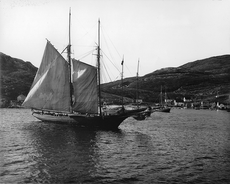
Cape St. Charles on:
[Wikipedia]
[Google]
[Amazon]
 Cape St. Charles is a
 Cape St. Charles is a
 headland
A headland, also known as a head, is a coastal landform, a point of land usually high and often with a sheer drop, that extends into a body of water. It is a type of promontory. A headland of considerable size often is called a cape.Whittow, John ...
on the coast of Labrador
, nickname = "The Big Land"
, etymology =
, subdivision_type = Country
, subdivision_name = Canada
, subdivision_type1 = Province
, subdivision_name1 ...
in the Canadian
Canadians (french: Canadiens) are people identified with the country of Canada. This connection may be residential, legal, historical or cultural. For most Canadians, many (or all) of these connections exist and are collectively the source of ...
province of Newfoundland and Labrador
Newfoundland and Labrador (; french: Terre-Neuve-et-Labrador; frequently abbreviated as NL) is the easternmost province of Canada, in the country's Atlantic region. The province comprises the island of Newfoundland and the continental region ...
. At longitude
Longitude (, ) is a geographic coordinate that specifies the east–west position of a point on the surface of the Earth, or another celestial body. It is an angular measurement, usually expressed in degrees and denoted by the Greek letter l ...
55°37'15" W, it is the easternmost point of continental North America
North America is a continent in the Northern Hemisphere and almost entirely within the Western Hemisphere. It is bordered to the north by the Arctic Ocean, to the east by the Atlantic Ocean, to the southeast by South America and the Car ...
.
Headlands of Newfoundland and Labrador
Extreme points of Earth
Labrador
{{Labrador-geo-stub