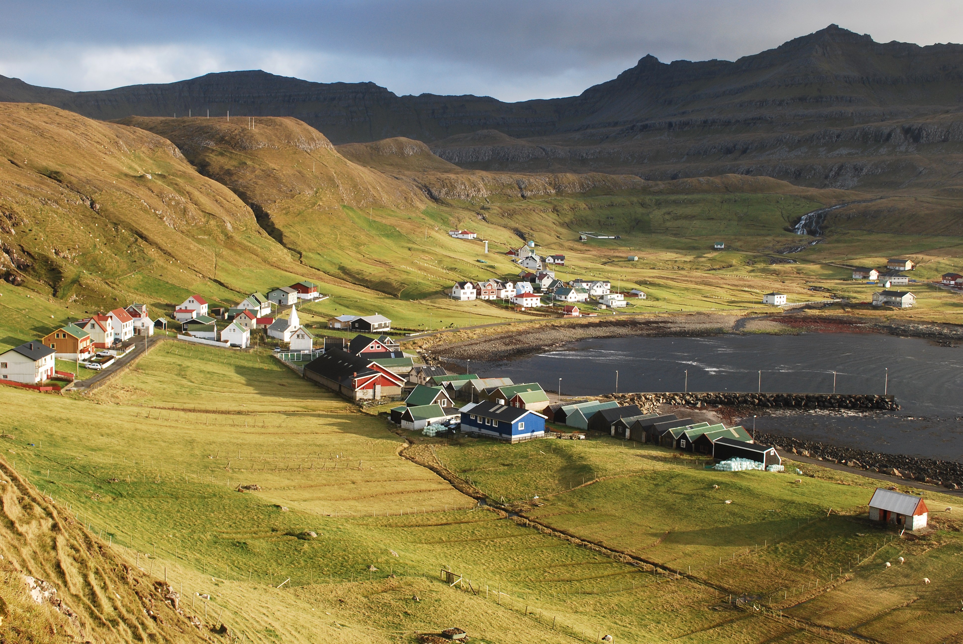
Borgarknappur on:
[Wikipedia]
[Google]
[Amazon]

 Borgarknappur is a mountain in Suðuroy,
 Gergraphic.org
/ref>

 Borgarknappur is a mountain in Suðuroy,
 Faroe Islands
The Faroe Islands ( ), or simply the Faroes ( fo, Føroyar ; da, Færøerne ), are a North Atlantic island group and an autonomous territory of the Kingdom of Denmark.
They are located north-northwest of Scotland, and about halfway bet ...
. The mountain is high. It is located in the center of the island, west of the village Hov
A high-occupancy vehicle lane (also known as an HOV lane, carpool lane, diamond lane, 2+ lane, and transit lane or T2 or T3 lanes) is a restricted traffic lane reserved for the exclusive use of vehicles with a driver and one or more passengers, i ...
and south-east of Fámjin
Fámjin ( da, Famien) is a village located on the western side of Suðuroy, the southernmost island in Faroe Islands. Fámjin is looking directly out to the North Atlantic Ocean. Name
Geography
The village of Fámjin faces the ocean, althou ...
, south-west of Øravík
Øravík (also spelled Ørðavík, da, Ørdevig) is a village on the east coast of the island of Suðuroy in the Faroe Islands.
The village is located in the center of the island on a crossroad where the road to Fámjin goes towards west over ...
and north of Vágur
Vágur meaning ''Bay'' ( da, Våg) is a town on the island of Suðuroy, part of the Faroe Islands
It is situated on the east coast of the island on the Vágsfjørður fjord, and was founded in the fourteenth century. Expansion has meant that the ...
. Another mountain peak, which is called Borgin ( high) is just west of Borgarknappur, and a mountain called Hvannafelli ( high) is further south. Before the roads were made between the villages in Suðuroy, there were paths between the villages over the mountains. Several of these paths met near Borgarknappur, in Mannaskarð and near a mountain called Laðanfelli ( high). To help people find their way up in the mountains there were cairns along the paths. Most of these cairns are still there and now mostly used for hiking trips for people and tourists. The paths which meet in Mannaskarð, near Borgarknappur come from the villages: Øravík
Øravík (also spelled Ørðavík, da, Ørdevig) is a village on the east coast of the island of Suðuroy in the Faroe Islands.
The village is located in the center of the island on a crossroad where the road to Fámjin goes towards west over ...
, Fámjin
Fámjin ( da, Famien) is a village located on the western side of Suðuroy, the southernmost island in Faroe Islands. Fámjin is looking directly out to the North Atlantic Ocean. Name
Geography
The village of Fámjin faces the ocean, althou ...
, Porkeri, Hov
A high-occupancy vehicle lane (also known as an HOV lane, carpool lane, diamond lane, 2+ lane, and transit lane or T2 or T3 lanes) is a restricted traffic lane reserved for the exclusive use of vehicles with a driver and one or more passengers, i ...
and Vágur
Vágur meaning ''Bay'' ( da, Våg) is a town on the island of Suðuroy, part of the Faroe Islands
It is situated on the east coast of the island on the Vágsfjørður fjord, and was founded in the fourteenth century. Expansion has meant that the ...
.
Geocode for Borgarknappur, Faroe Islands: Latitude: 61.5 / Longitude: -6.833333 /ref>
References
Mountains of the Faroe Islands Suðuroy {{Faroes-geo-stub