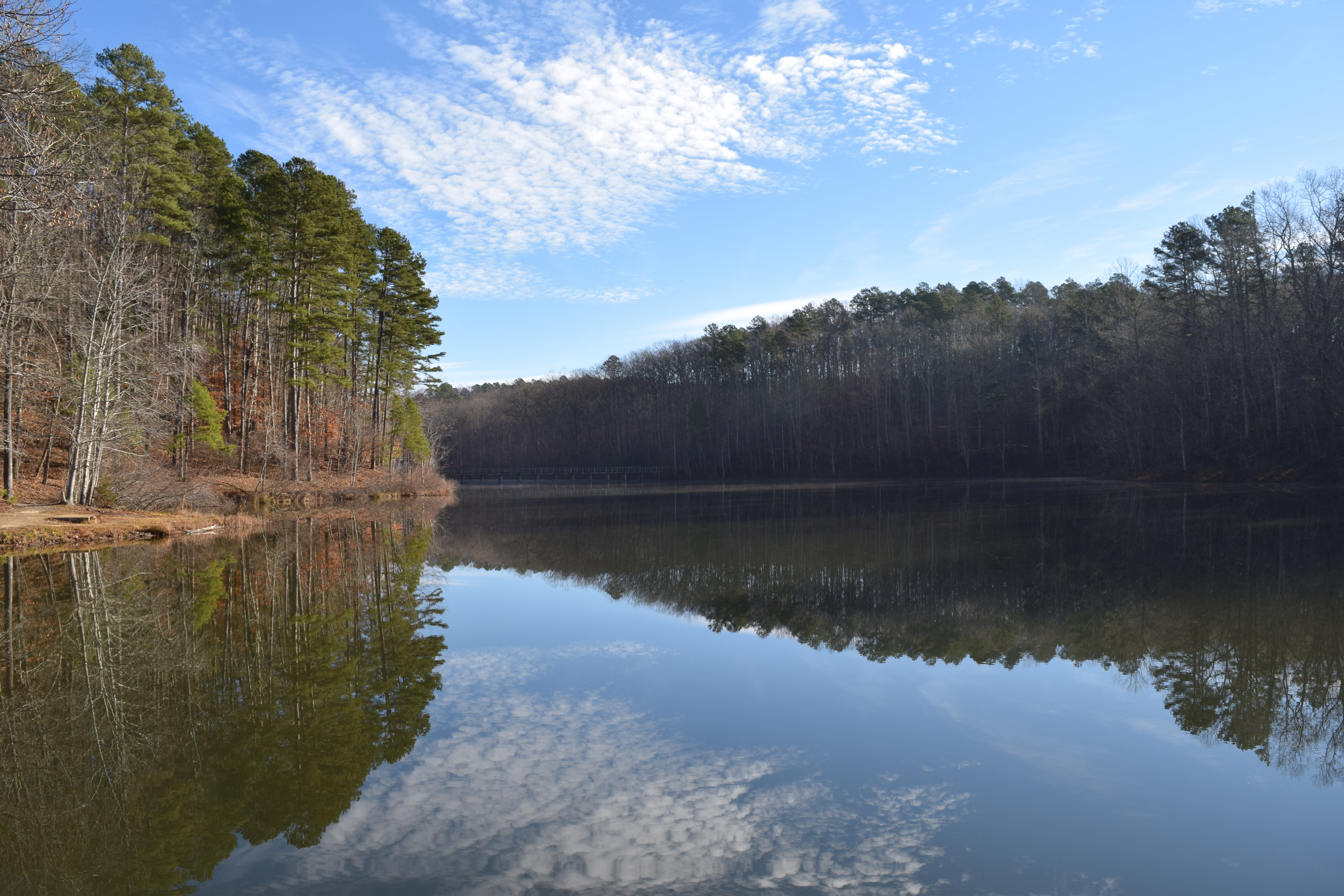
Big Hill Pond State Park on:
[Wikipedia]
[Google]
[Amazon]
 Big Hill Pond State Park is a
U.S. Geological Survey Map
at the U.S. Geological Survey Map Website. Retrieved December 6th, 2022. State parks of Tennessee Protected areas of McNairy County, Tennessee 1853 establishments in Tennessee {{McNairyCountyTN-geo-stub
 Big Hill Pond State Park is a
 state park
State parks are parks or other protected areas managed at the sub-national level within those nations which use "state" as a political subdivision. State parks are typically established by a state to preserve a location on account of its natural ...
in the southwestern part of McNairy County
McNairy County is a county located in the U.S. state of Tennessee. As of the 2010 census, the population was 26,075. Its county seat is Selmer. McNairy County is located along Tennessee's border with the state of Mississippi.
Sheriff Buford ...
in southwestern Tennessee
Tennessee ( , ), officially the State of Tennessee, is a landlocked state in the Southeastern region of the United States. Tennessee is the 36th-largest by area and the 15th-most populous of the 50 states. It is bordered by Kentucky to th ...
.
Description
The park has an area of and is forested with timberland andhardwood
Hardwood is wood from dicot trees. These are usually found in broad-leaved temperate and tropical forests. In temperate and boreal latitudes they are mostly deciduous, but in tropics and subtropics mostly evergreen. Hardwood (which comes from ...
bottomland. Cypress Creek and the Tuscumbia River
The Tuscumbia River is a U.S. Geological Survey. National Hydrography Dataset high-resolution flowline dataThe National Map accessed June 3, 2011 tributary of the Hatchie River in northern Mississippi and western Tennessee in the United States. It ...
border the property. The park's central feature is Travis McNatt Lake. The namesake Big Hill Pond was formed by excavation in 1853 as a borrow pit that was a source for soil used to build a levee
A levee (), dike (American English), dyke (English in the Commonwealth of Nations, Commonwealth English), embankment, floodbank, or stop bank is a structure that is usually soil, earthen and that often runs parallel (geometry), parallel to ...
across the Tuscumbia and Cypress Creek bottoms for the Memphis and Charleston Railroad. In addition, the floodplain
A floodplain or flood plain or bottomlands is an area of land adjacent to a river which stretches from the banks of its channel to the base of the enclosing valley walls, and which experiences flooding during periods of high discharge.Goudi ...
s of the Tuscumbia River and Cypress Creek contain small oxbow lake
An oxbow lake is a U-shaped lake or pool that forms when a wide meander of a river is cut off, creating a free-standing body of water. In South Texas, oxbows left by the Rio Grande are called '' resacas''. In Australia, oxbow lakes are call ...
s and slough
Slough () is a town and unparished area in the unitary authority of the same name in Berkshire, England, bordering west London. It lies in the Thames Valley, west of central London and north-east of Reading, at the intersection of the M4 ...
s that provide desirable habitat for waterfowl, other wildlife, and fish. A large stand of cypress trees has grown up in and around Big Hill Pond, which is accessible by four-wheel-drive vehicles. The park contains the Big Hill Pond Fortification
The Big Hill Pond Fortification is a Civil War earthwork in Big Hill Pond State Park, which is located in McNairy County, Tennessee.
The earthwork was built atop a ridge by the Union Army in late 1862, after the Battle of Davis Bridge. It was bu ...
, which was the site of Union defenses above the Memphis and Charleston Railroad during the Civil War.
External links
*U.S. Geological Survey Map
at the U.S. Geological Survey Map Website. Retrieved December 6th, 2022. State parks of Tennessee Protected areas of McNairy County, Tennessee 1853 establishments in Tennessee {{McNairyCountyTN-geo-stub