Arys River on:
[Wikipedia]
[Google]
[Amazon]
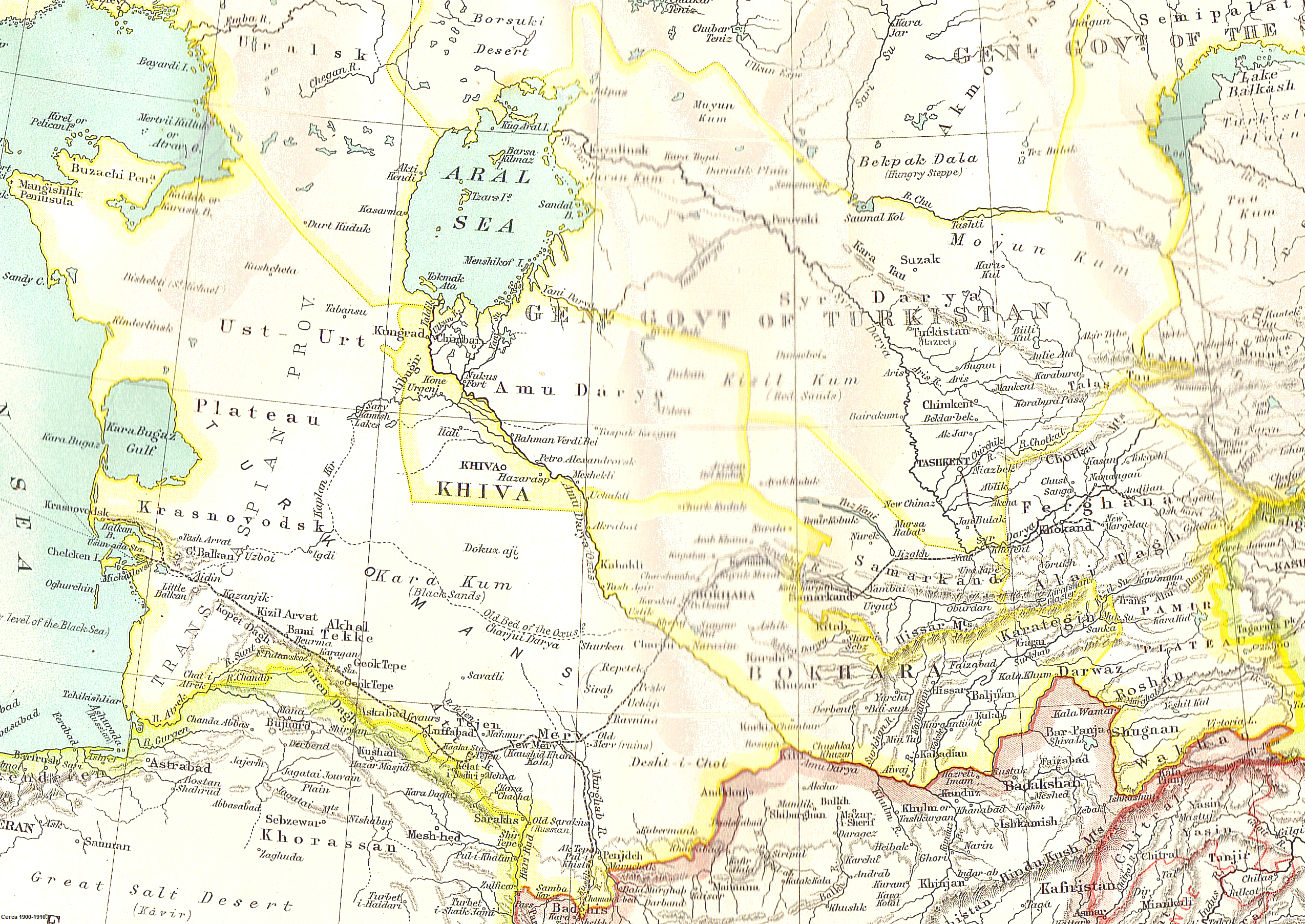
 The Arys ( kk, Арыс, ''Arys'') is a river of southern
 Сырдарья (река)
 The Arys ( kk, Арыс, ''Arys'') is a river of southern
 Kazakhstan
Kazakhstan, officially the Republic of Kazakhstan, is a transcontinental country located mainly in Central Asia and partly in Eastern Europe. It borders Russia to the north and west, China to the east, Kyrgyzstan to the southeast, Uzbeki ...
and a right tributary of the Syr Darya.Great Soviet Encyclopedia
The ''Great Soviet Encyclopedia'' (GSE; ) is one of the largest Russian-language encyclopedias, published in the Soviet Union from 1926 to 1990. After 2002, the encyclopedia's data was partially included into the later ''Bolshaya rossiyskaya e ...
The river is long, covering a basin area of .
The river begins in the Talas Alatau
The Talas Ala-Too or Alataw range ( ky, Талас Ала-Тоосу, Talas Ala-Toosu; kk, Талас Алатауы, Talas Alatauy; zh, 塔拉斯阿拉套) is range of the Tian Shan mountains forming the southern and eastern border of Talas Reg ...
ridge, and average water flow is . The highest runoff is in April during snow melt, the lowest is in August. The river is used for irrigation to grow rice in the lower reaches. The largest tributaries are the Mashat, Aksu, Boralday and the Badam.
The Arys has been populated by humans since ancient times, and was located to the north of the Silk Road. Numerous medieval castles, of which the most significant is Otrar Castle, is located in the area.
References
Tributaries of the Syr Darya Rivers of Kazakhstan {{Kazakhstan-river-stub