Ardlethan on:
[Wikipedia]
[Google]
[Amazon]
Ardlethan () is a small service town in the Coolamon Shire in New South Wales, Australia. Ardlethan is at the intersection of the Burley Griffin Way and Newell Highway.
Ardlethan lays claim to be the birthplace of the Australian kelpie.
USGS Minerals - Tin in August 2004
– Retrieved September 2009. Australian Tin Resources Pty Ltd (ATR) now owns the mine. As at 24 January 2019 ATR had received Development Application consent from Coolamon Shire Council for a Rehabilitation and Tailings Reprocessing Project on the site. They intend to first carry out small scale pilot plant processing operations on site for about 2–3 months to prove up the processing technology, before increasing the scale of the operation

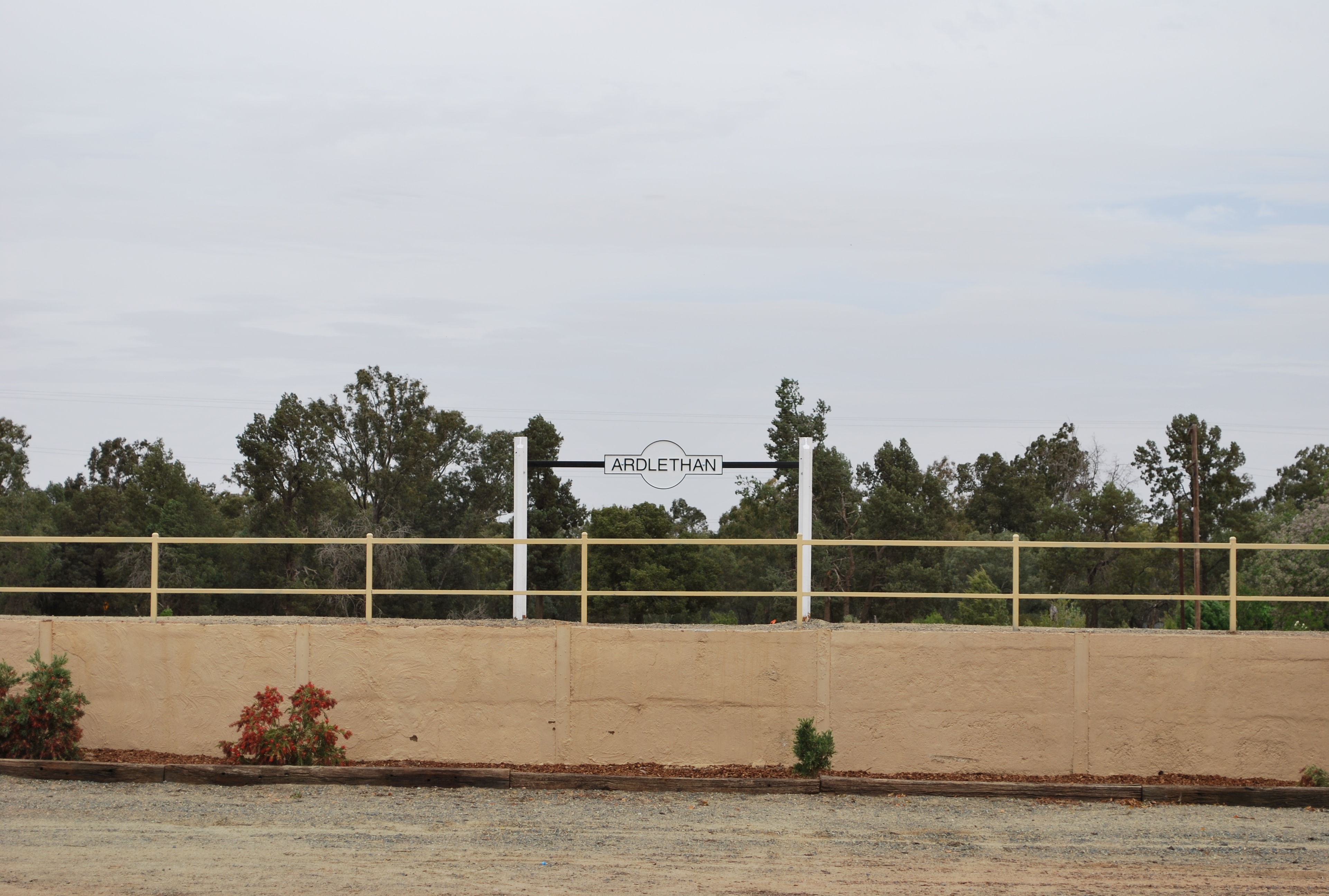
Ardlethan Railway Siding
{{authority control Mining towns in New South Wales Towns in the Riverina Newell Highway Coolamon Shire
History
Ardlethan was established in the 19th century aftergold
Gold is a chemical element with the symbol Au (from la, aurum) and atomic number 79. This makes it one of the higher atomic number elements that occur naturally. It is a bright, slightly orange-yellow, dense, soft, malleable, and ductile ...
was discovered but gold mining was short-lived. The railway line opened in 1908. Passenger services ceased in 1983 however the line remains open for goods trains.
Warri Post Office opened on 1 October 1907 and was renamed Ardlethan in 1908.
Tin mining began in 1912, and became an economic backbone of the town. A major labour strike in the 1930s gained national coverage. The open cut pit was at one time the largest in the Southern Hemisphere, and is located approximately 5 kilometres North West of the township. Mining eventually went underground and continued through to the late 1980s. The tin mine was reopened in late 2001, particularly for alluvial mining, but closed in mid-2004 after Marlborough Resources was placed under voluntary administration due to disappointing results at its new processing plant, poor tin price hedging results, and lower-than-expected tin reserves.– Retrieved September 2009. Australian Tin Resources Pty Ltd (ATR) now owns the mine. As at 24 January 2019 ATR had received Development Application consent from Coolamon Shire Council for a Rehabilitation and Tailings Reprocessing Project on the site. They intend to first carry out small scale pilot plant processing operations on site for about 2–3 months to prove up the processing technology, before increasing the scale of the operation
Population
In the 2016 Census, there were 387 people in the Ardlethan urban centre. 77.1% of people were born in Australia and 81.5% of people only spoke English at home.Climate
Sport
The most popular sport in Ardlethan is Australian rules football, as it lies in the narrow 'canola belt', a geographical triangle stretching from the Grong Grong and Marrar at either end of theCanola Way
Close-up of canola blooms
Canola flower
Rapeseed oil is one of the oldest known vegetable oils. There are both edible and industrial forms produced from rapeseed, the seed of several cultivars of the plant family Brassicaceae. Historically, ...
, to Lake Cargelligo
Lake Cargelligo () is a town in the Central West region of New South Wales, Australia, on Lake Cargelligo. It is in Lachlan Shire. At the , Lake Cargelligo had a population of 1,479 people. Its name is said to be a corruption of the Aboriginal ...
in which Australian football retains a strong following, despite being in the rugby league
Rugby league football, commonly known as just rugby league and sometimes football, footy, rugby or league, is a full-contact sport played by two teams of thirteen players on a rectangular field measuring 68 metres (75 yards) wide and 112 ...
supporting state of New South Wales
)
, nickname =
, image_map = New South Wales in Australia.svg
, map_caption = Location of New South Wales in AustraliaCoordinates:
, subdivision_type = Country
, subdivision_name = Australia
, established_title = Before federation
, es ...
. The town's team, the Northern Jets (shared with neighbouring Ariah Park and Mirrool), competes in the Farrer Football League.
The town used to have a rugby league
Rugby league football, commonly known as just rugby league and sometimes football, footy, rugby or league, is a full-contact sport played by two teams of thirteen players on a rectangular field measuring 68 metres (75 yards) wide and 112 ...
team.
References
External links
Ardlethan Railway Siding
{{authority control Mining towns in New South Wales Towns in the Riverina Newell Highway Coolamon Shire