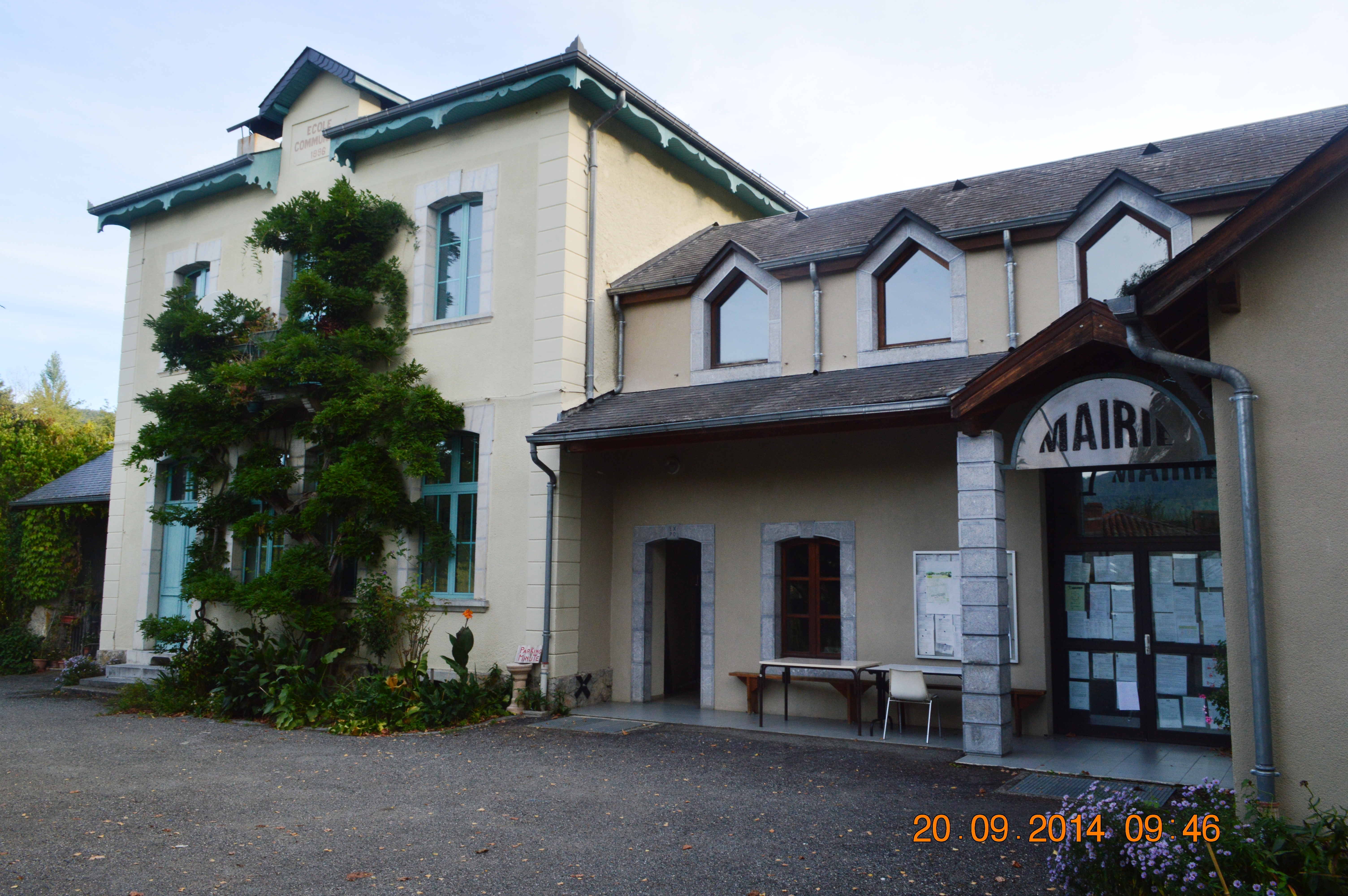
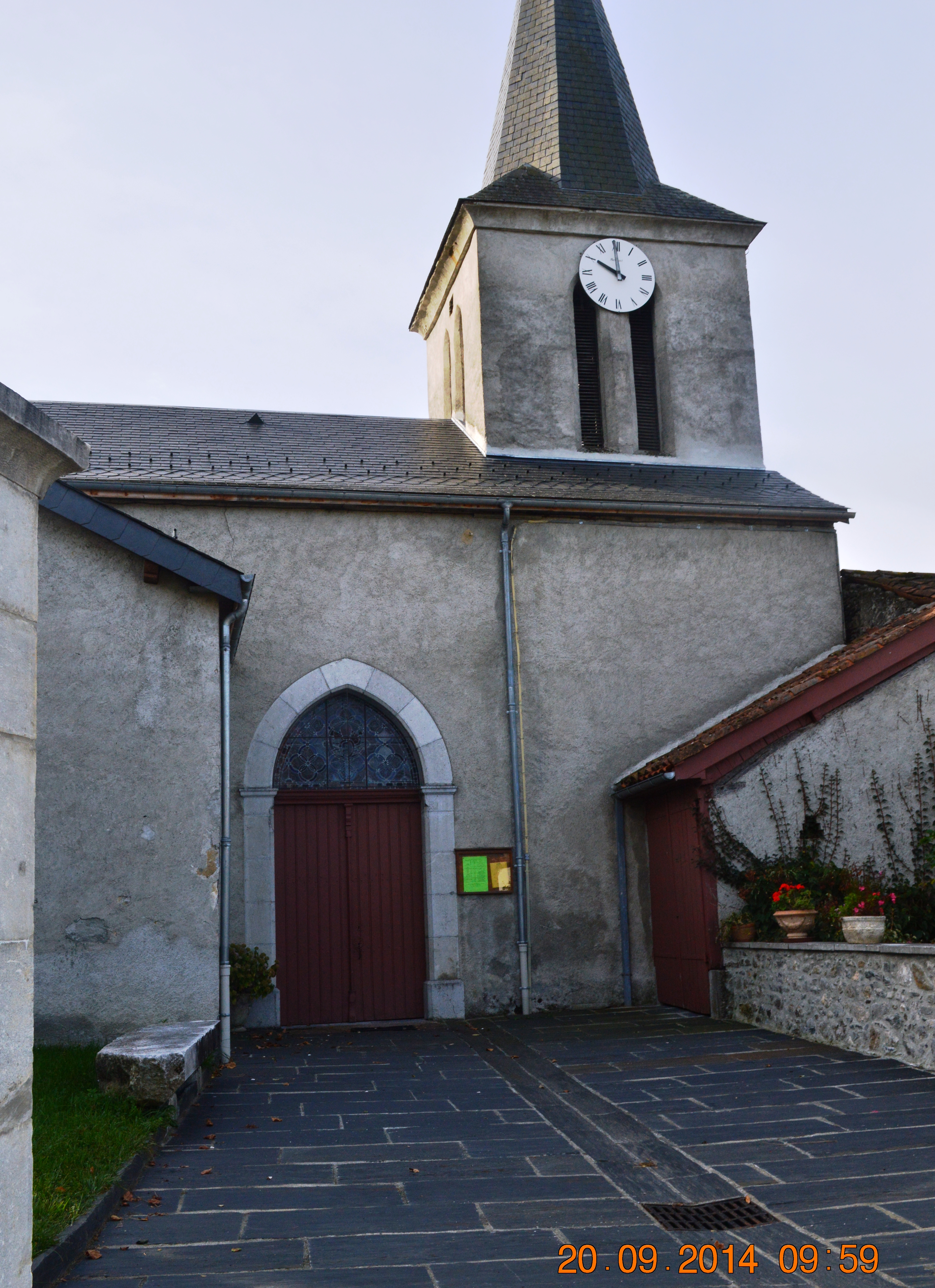
Antichan-de-Frontignes on:
[Wikipedia]
[Google]
[Amazon]
Antichan-de-Frontignes (; oc, Antishan de Frontinhas) is a
 Antichan-de-Frontignes is located at the foot of the
/ref>
List of Mayors of France


 *The village is the point of departure for a
Antichan-de-Frontignes on the old IGN website
Antichan-de-Frontignes on Géoportail
National Geographic Institute (IGN) website
''Antichan-de-Frontignes'' on the 1750 Cassini Map
{{DEFAULTSORT:Antichandefrontignes Communes of Haute-Garonne
commune
A commune is an alternative term for an intentional community. Commune or comună or comune or other derivations may also refer to:
Administrative-territorial entities
* Commune (administrative division), a municipality or township
** Communes of ...
in the Haute-Garonne
Haute-Garonne (; oc, Nauta Garona, ; en, Upper Garonne) is a department in the Occitanie region of Southwestern France. Named after the river Garonne, which flows through the department. Its prefecture and main city is Toulouse, the country' ...
department in the Occitanie region of south-western France
France (), officially the French Republic ( ), is a country primarily located in Western Europe. It also comprises of overseas regions and territories in the Americas and the Atlantic, Pacific and Indian Oceans. Its metropolitan area ...
.
The inhabitants of the commune are known as ''Antichanais'' or ''Antichanaises'' in French.
Geography
Pyrenees
The Pyrenees (; es, Pirineos ; french: Pyrénées ; ca, Pirineu ; eu, Pirinioak ; oc, Pirenèus ; an, Pirineus) is a mountain range straddling the border of France and Spain. It extends nearly from its union with the Cantabrian Mountains to ...
in the Comminges region some 40 km east by south-east of Bagnères-de-Bigorre and 19 km south by south-west of Saint-Gaudens. Access to the commune is by the D618 road which branches from the D331 east of Ore
Ore is natural rock or sediment that contains one or more valuable minerals, typically containing metals, that can be mined, treated and sold at a profit.Encyclopædia Britannica. "Ore". Encyclopædia Britannica Online. Retrieved 7 Apr ...
and goes to the village then continues north-east by a roundabout route to Juzet-d'Izaut. There is also a local road going from the D618 north of the village to Saint-Pé-d'Ardet
Saint-Pé-d'Ardet (; oc-gsc, Sent Pèr d'Ardet) is a commune in the Haute-Garonne department in southwestern France.
Population
See also
* Communes of the Haute-Garonne department
*Pic du Gar
Pic du Gar is a mountain of the Pyrenees. It is ...
. Most of the commune is heavily forested however there is some farmland near the village.Google Maps/ref>
Neighbouring communes and villages
Administration
List of Successive MayorsDemography
In 2017 the commune had 157 inhabitants.Sites and monuments
hiking trail
A trail, also known as a path or track, is an unpaved lane or small road usually passing through a natural area. In the United Kingdom and the Republic of Ireland, a path or footpath is the preferred term for a pedestrian or hiking trail. The ...
which crosses the Col des Ares 4.5 km from the village then continues to the summits of the Pic du Gar
Pic du Gar is a mountain of the Pyrenees. It is located near Saint-Béat, Haute-Garonne département, in the Comminges natural region. The limestone mountain has an altitude of above sea level.
Despite its relatively low altitude, the Pic du Gar ...
and the Saillant Peak.
*The Church of Notre-Dame of the Assumption
See also
* Communes of the Haute-Garonne departmentReferences
External links
Antichan-de-Frontignes on the old IGN website
Antichan-de-Frontignes on Géoportail
National Geographic Institute (IGN) website
''Antichan-de-Frontignes'' on the 1750 Cassini Map
{{DEFAULTSORT:Antichandefrontignes Communes of Haute-Garonne