|
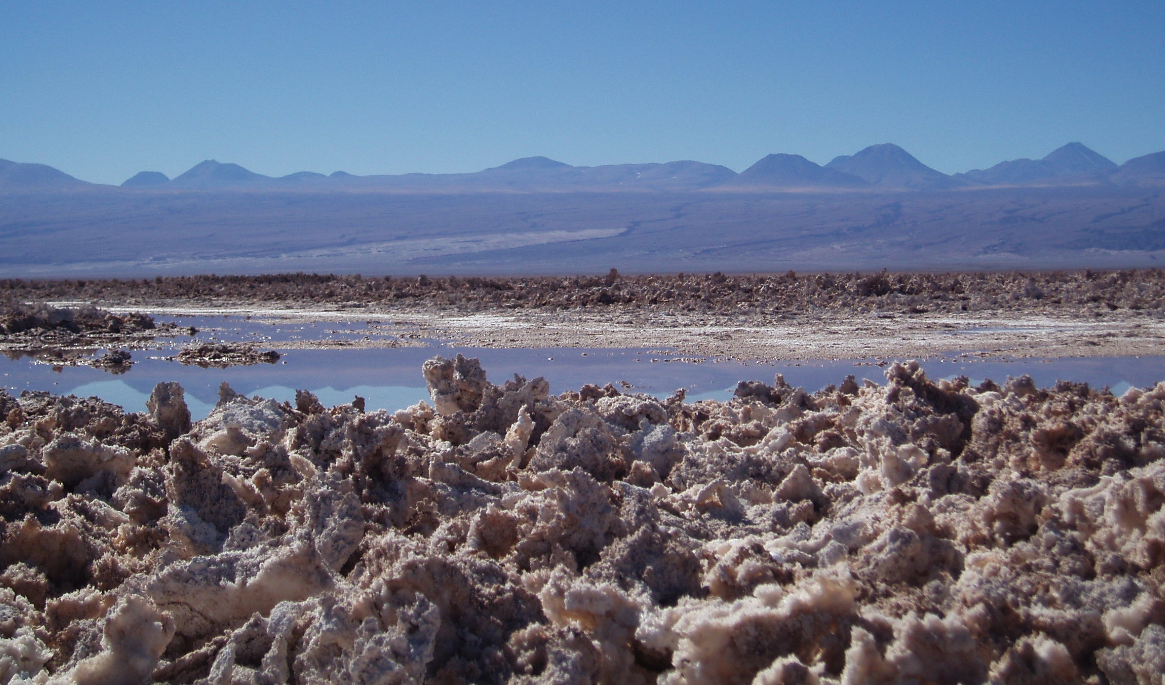
Salar De Atacama
Salar de Atacama is the largest salt flat in Chile. It is located south of San Pedro de Atacama, is surrounded by mountains, and has no drainage outlets. In the east it is enclosed by the main chain of the Andes, while to the west lies a secondary mountain range of the Andes called Cordillera de Domeyko. Large volcanoes dominate the landscape, including the Licancabur, Acamarachi, Aguas Calientes and the Láscar. The last is one of the most active volcanoes in Chile. All of them are located along the eastern side of the Salar de Atacama, forming a generally north-south trending line of volcanoes that separate it from smaller endorheic basins. Features The salt flat encompasses , is about long and wide, which makes it the third largest in the world, after Salar de Uyuni in Bolivia (). and Salinas Grandes in Argentina (). Its average elevation is about 2,300 m above sea level. The topography of the core portion of the ''salar'' exhibits a high level of roughness, the result of ev ... [...More Info...] [...Related Items...] OR: [Wikipedia] [Google] [Baidu] |

