|
Rodmell
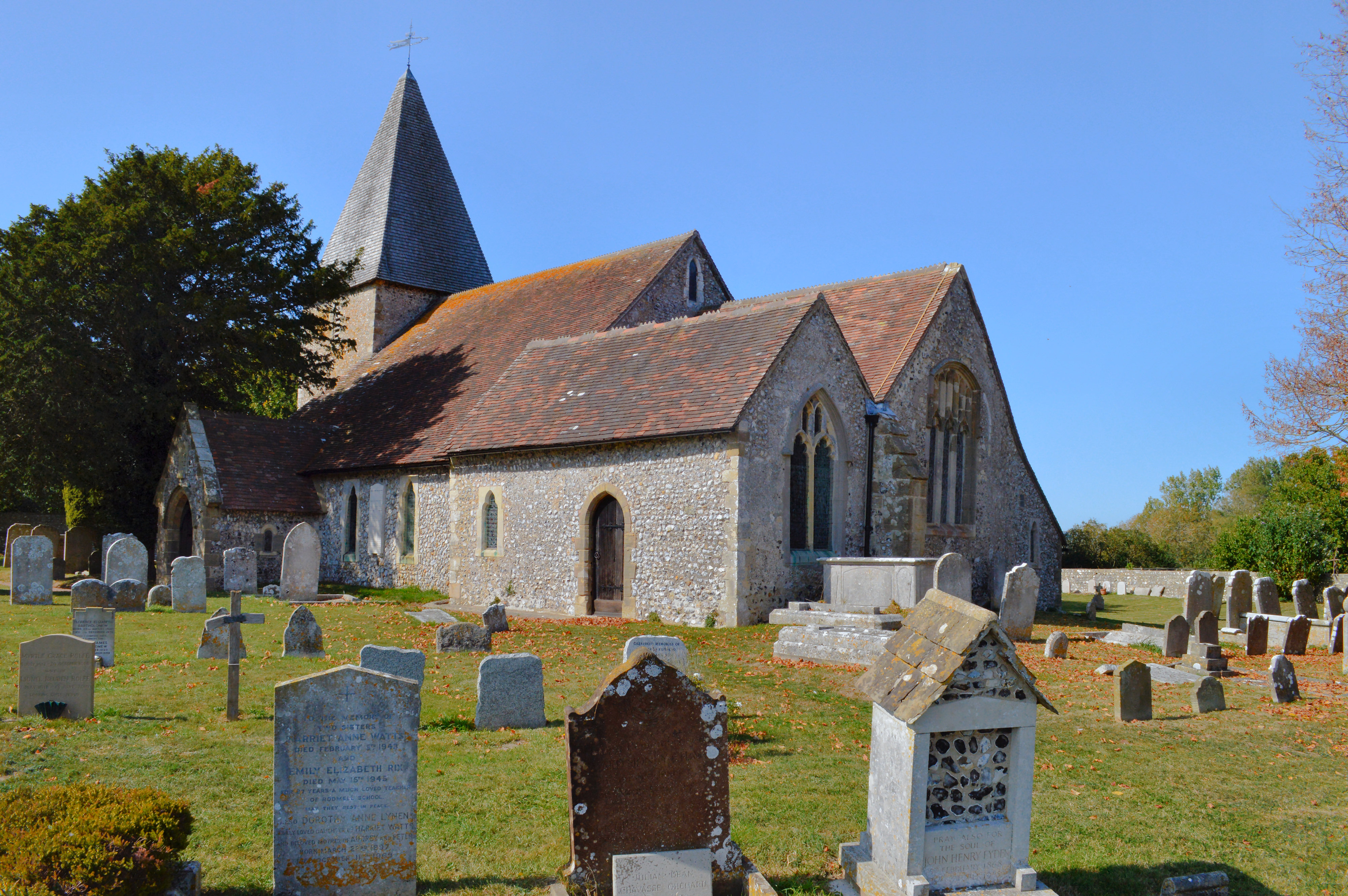
Rodmell is a small village and civil parish in the Lewes District of East Sussex, England. It is located three miles (4.8 km) south-west of Lewes, on the Lewes to Newhaven road and six and a half miles from the City of Brighton & Hove and is situated by the west banks of the River Ouse. The village is served by Southease railway station, opened in 1906. The Prime Meridian passes just to the west of the village. The village name has been variously spelled as ''Ramelle'' or ''Redmelle'' (11th century), ''Redmelde'' (12th century), ''Radmelde'' (13th century) and ''Radmill'' (18th century). It most likely derives from Brittonic where ''Rhod'' denotes a wheel and ''Melin'' refers to a Mill, hence mill wheel. A less likely derivation is from Old English ''read *mylde'', " lace withred soil". Before the time of the Norman conquest the manor of Rodmell was held by King Harold II. [...More Info...] [...Related Items...] OR: [Wikipedia] [Google] [Baidu] |
Virginia Woolf
Adeline Virginia Woolf (; ; 25 January 1882 28 March 1941) was an English writer, considered one of the most important modernist 20th-century authors and a pioneer in the use of stream of consciousness as a narrative device. Woolf was born into an affluent household in South Kensington, London, the seventh child of Julia Prinsep Jackson and Leslie Stephen in a blended family of eight which included the modernist painter Vanessa Bell. She was home-schooled in English classics and Victorian literature from a young age. From 1897 to 1901, she attended the Ladies' Department of King's College London, where she studied classics and history and came into contact with early reformers of women's higher education and the women's rights movement. Encouraged by her father, Woolf began writing professionally in 1900. After her father's death in 1904, the Stephen family moved from Kensington to the more bohemian Bloomsbury, where, in conjunction with the brothers' intellectual frien ... [...More Info...] [...Related Items...] OR: [Wikipedia] [Google] [Baidu] |
Monk's House
Monk's House is a 16th-century weatherboarded cottage in the village of Rodmell, three miles (4.8 km) south of Lewes, East Sussex, England. The writer Virginia Woolf and her husband, the political activist, journalist and editor Leonard Woolf, bought the house by auction at the White Hart Hotel, Lewes, on 1 July 1919 for 700 pounds, and received there many visitors connected to the Bloomsbury Group, including T. S. Eliot, E. M. Forster, Roger Fry and Lytton Strachey. The purchase is described in detail in her Diary, vol. 1, pp. 286–8. Virginia's sister, the artist Vanessa Bell, lived at nearby Charleston Farmhouse in Firle from 1916, and though contrasting in style, both houses became important outposts of the Bloomsbury Group. The National Trust now operates the building as a writer's house museum. Life at Monk's House During the Woolfs' early years at Rodmell, Monk's House was of modest dimensions with three-quarters of an acre of garden including an orch ... [...More Info...] [...Related Items...] OR: [Wikipedia] [Google] [Baidu] |
Southease
Southease is a small village and civil parish in East Sussex, in South East England between the A26 road and the C7 road from Lewes to Newhaven, East Sussex, Newhaven. The village is to the west of the River Ouse, Sussex and has a church dedicated to Saint Peter. Southease railway station lies roughly a kilometre east over the river and may be reached via a swing bridge. The church has one of only three round towers in Sussex, all of which are located in the Ouse Valley and all three built in the first half of the 12th century. It is downstream of Lewes, the county town of East Sussex and upstream of Piddinghoe and Newhaven, East Sussex, Newhaven. Paths along both the banks of the river allow hiking in either direction along the river. The remains of a slipway on the west bank of the River Ouse, Sussex, Ouse just north of the bridge faces Mount Caburn. The nearest village is Rodmell, about a kilometre to the northwest. The South Downs Way winds its way through the village tow ... [...More Info...] [...Related Items...] OR: [Wikipedia] [Google] [Baidu] |
Iford, East Sussex
Iford is a village and civil parish in the Lewes District of East Sussex, England. The village is located two miles (3.2 km) south of Lewes. The parish lies on slopes of the South Downs in the valley of the River Ouse. Notable buildings Iford parish sits to the north of Rodmell and to the south of Kingston near Lewes. To the east (and on the other side of the River Ouse) is the Glynde parish and to the far west, over the South Downs, is Brighton and Hove. The parish has many notable buildings. Indeed, it has eighteen listed structures in Iford, including Sutton House of circa 1800. The Greenwich meridian runs through the village which is marked by a sundial, provided for by a Millennium Commission Lottery Fund grant. St Nicholas Church The parish church of St Nicholas is a Norman church and dates from the 12th century, although much restored in the 19th century. It has an unusual arrangement of nave and chancel separated by the tower, possibly formerl ... [...More Info...] [...Related Items...] OR: [Wikipedia] [Google] [Baidu] |
River Ouse, Sussex
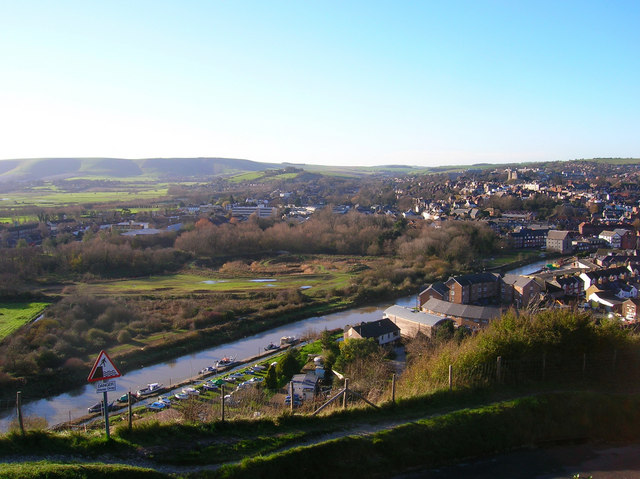
The Ouse ( ) is a 35 mile (56 kilometre) long river in the English counties of West and East Sussex. It rises near Lower Beeding in West Sussex, and flows eastwards and then southwards to reach the sea at Newhaven. It skirts Haywards Heath and passes through Lewes. It forms the main spine of an extensive network of smaller streams, of which the River Uck is the main tributary. As it nears the coast it passes through the Lewes and Laughton Levels, an area of flat, low-lying land that borders the river and another tributary, the Glynde Reach. It was a large tidal inlet at the time of the Domesday book in 1086, but over the following centuries, some attempts were made to reclaim some of the valley floor for agriculture, by building embankments, but the drainage was hampered by the buildup of a large shingle bar which formed across the mouth of the river by longshore drift. In 1539, a new channel for the entrance to the river was cut through the shingle bar, and meadows flo ... [...More Info...] [...Related Items...] OR: [Wikipedia] [Google] [Baidu] |
Southease Railway Station
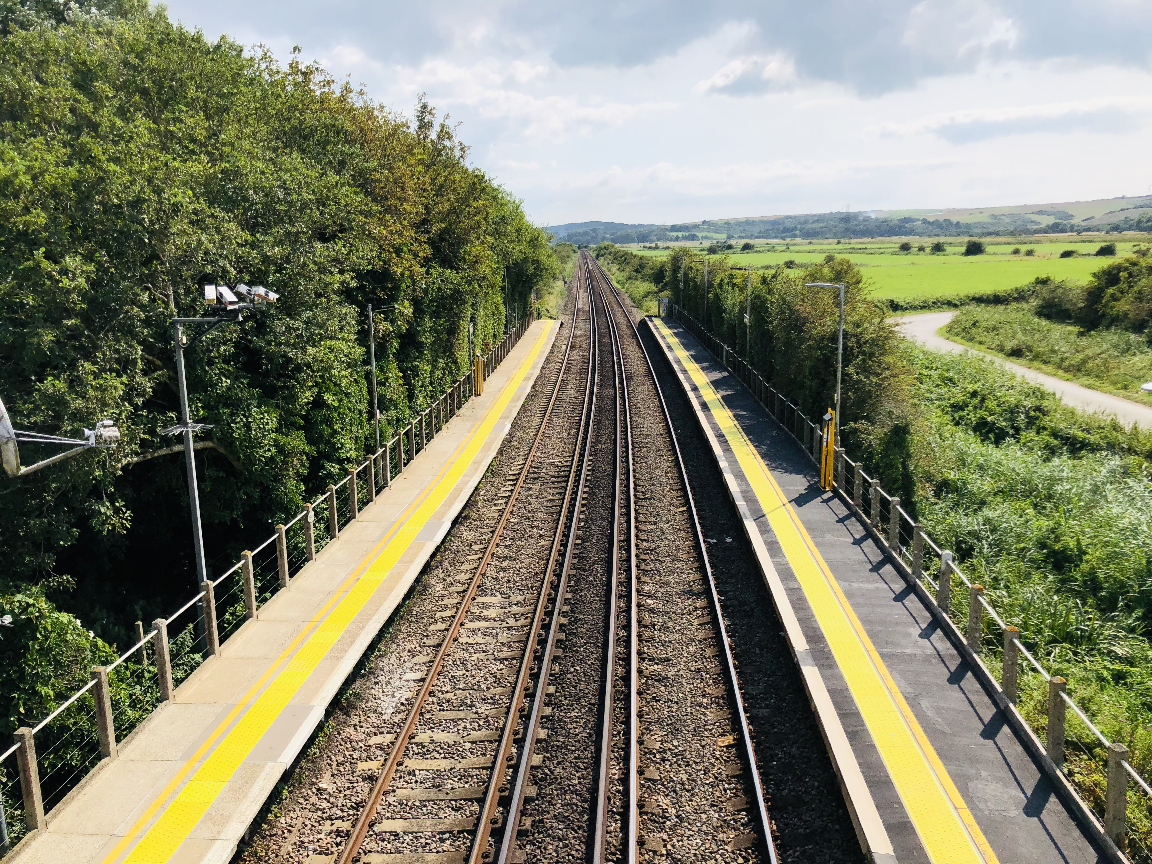
Southease railway station is located east of the village of Southease in East Sussex, England. It is on the Seaford branch of the East Coastway Line, measured from via Redhill. The station is surrounded by agricultural land. The South Downs Way crosses the Seaford Branch here. History The London, Brighton and South Coast Railway opened the station on 1 September 1906 as ''Southease and Rodmell Halt'', to serve two villages in the Ouse Valley; Southease, to the west, and the slightly larger Rodmell, more than away. The station was renamed ''Southease'' on 12 May 1980. There was a racecourse between the railway line and the River Ouse from the late 1920s to the early 1940s. Infrastructure The station is unmanned and has two platforms, each with a PERTIS machine. A self-service ticket machine was also installed in 2016. There is a level crossing immediately north of the station leading to Itford Farm and the A26 road The A26 road is a primary route in the southeas ... [...More Info...] [...Related Items...] OR: [Wikipedia] [Google] [Baidu] |
Holmstrow (hundred)
Holmstrow Hundred was an administrative unit in the Rape of Lewes in the eastern division of the county of Sussex, until the abolition of hundreds in the 19th century. It contained the villages of Meeching (now Newhaven), Piddinghoe, Telscombe, Southease and Rodmell. References {{Reflist Hundreds of Sussex ... [...More Info...] [...Related Items...] OR: [Wikipedia] [Google] [Baidu] |
Lewes (district)
Lewes is a local government district in East Sussex in southern England covering an area of , with of coastline. It is named after its administrative centre, Lewes. Other towns in the district include Newhaven, Peacehaven, Seaford and Telscombe. Plumpton racecourse is within the district. There are 28 parishes in the district. The district was formed on 1 April 1974 by the Local Government Act 1972, and was a merger of the former borough of Lewes along with Newhaven and Seaford urban districts and Chailey Rural District. Politics Elections to the council are held every four years, with all of the 41 seats, representing 21 wards, on the council being filled. Since July 2019, following the May election, an alliance of councillors from the Green, Liberal Democrat, and Labour parties, plus two Independents, has controlled the council, with Green Councillor Zoe Nicholson and Liberal Democrat Councillor James MacCleary holding the leader and deputy leader roles alternating ... [...More Info...] [...Related Items...] OR: [Wikipedia] [Google] [Baidu] |
South Downs
The South Downs are a range of chalk hills that extends for about across the south-eastern coastal counties of England from the Itchen valley of Hampshire in the west to Beachy Head, in the Eastbourne Downland Estate, East Sussex, in the east. The Downs are bounded on the northern side by a steep escarpment, from whose crest there are extensive views northwards across the Weald. The South Downs National Park forms a much larger area than the chalk range of the South Downs and includes large parts of the Weald. The South Downs are characterised by rolling chalk downland with close-cropped turf and dry valleys, and are recognised as one of the most important chalk landscapes in England. The range is one of the four main areas of chalk downland in southern England. The South Downs are relatively less populated compared to South East England as a whole, although there has been large-scale urban encroachment onto the chalk downland by major seaside resorts, including most notabl ... [...More Info...] [...Related Items...] OR: [Wikipedia] [Google] [Baidu] |
Lewes
Lewes () is the county town of East Sussex, England. It is the police and judicial centre for all of Sussex and is home to Sussex Police, East Sussex Fire & Rescue Service, Lewes Crown Court and HMP Lewes. The civil parish is the centre of the Lewes local government district and the seat of East Sussex County Council at East Sussex County Hall. A traditional market town and centre of communications, in 1264 it was the site of the Battle of Lewes. The town's landmarks include Lewes Castle, Lewes Priory, Bull House (the former home of Thomas Paine), Southover Grange and public gardens, and a 16th-century timber-framed Wealden hall house known as Anne of Cleves House. Other notable features of the area include the Glyndebourne festival, the Lewes Bonfire celebrations and the Lewes Pound. Etymology The place-name 'Lewes' is first attested in an Anglo-Saxon charter circa 961 AD, where it appears as ''Læwe''. It appears as ''Lewes'' in the Domesday Book of 1086. The addi ... [...More Info...] [...Related Items...] OR: [Wikipedia] [Google] [Baidu] |
South Downs Way
The South Downs Way is a long distance footpath and bridleway running along the South Downs in southern England. It is one of 16 National Trails in England and Wales. The trail runs for from Winchester in Hampshire to Eastbourne in East Sussex, with about of ascent and descent. History People have been using the paths and tracks that have been linked to form the South Downs Way for approximately 8000 years. They were a safer and drier alternative to those in the wetter lowlands throughout the mesolithic era. Early occupation in the area began 2000 years after that in the neolithic era. Early inhabitants built tumuli in places on the hills and hill forts later, once tribal fighting became more common. Old Winchester Hill is an example of one of these hill forts along the path. The trail was probably used by the Romans, despite the fact that they built one of their roads across the path at Stane Street (Chichester), this use possibly evidenced by the existence of Bignor Roman ... [...More Info...] [...Related Items...] OR: [Wikipedia] [Google] [Baidu] |
Lewes Brooks
Lewes Brooks is a biological Site of Special Scientific Interest south of Lewes in East Sussex. The Falmer-Glynde and the River Ouse, Sussex, Ouse valleys meet in Lewes Brooks, and the Upper and Lower Rises are the remains of the chalk uplands eroded by the Ouse. This site is on the flood plain of the River Ouse, and has fields separated by ditches. Variations in salinity from brackish to spring-fed, together with periodic clearing of ditches, produce a variety of habitats. The site is home to a diverse array of invertebrate fauna, especially Coleoptera, water beetles. There are also rare Mollusca, snails, Diptera, flies and Lepidoptera, moths. References {{SSSIs East Sussex Sites of Special Scientific Interest in East Sussex ... [...More Info...] [...Related Items...] OR: [Wikipedia] [Google] [Baidu] |


