|
Ontario Highway 40
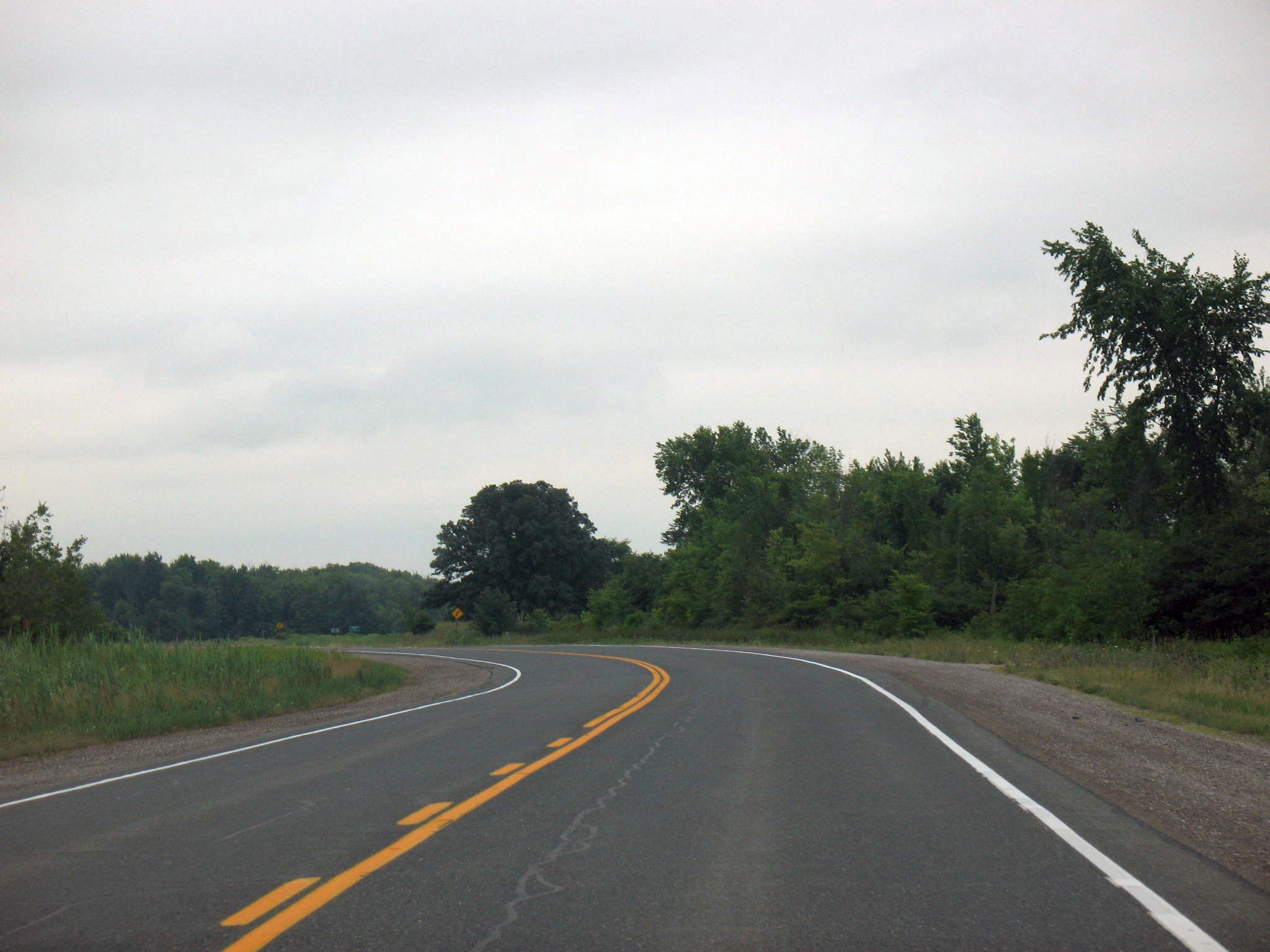
King's Highway 40, commonly referred to as Highway 40, is a provincially maintained highway in the southwestern portion of the Canadian province of Ontario. The route links Chatham and Sarnia via Wallaceburg, following close to the St. Clair River. The southern terminus is at Highway 401 south of Chatham, while the northern terminus is at Highway 402 in Sarnia. The portion of Highway 40 between Highway 401 and north of Wallaceburg is within the municipality of Chatham-Kent, while the portion north of there is within Lambton County. Highway 40 was built as a depression-relief project in 1934. The original routing followed what is now the St. Clair Parkway, but was rerouted to create that scenic road in the mid-1970s. The Sarnia Bypass was opened in 1963 as Highway 40A and renumbered as Highway 40 by 1966; the original route through Sarnia became Highway 40B until it was decommissioned during the early-1990s. The route was extended to Highway&nb ... [...More Info...] [...Related Items...] OR: [Wikipedia] [Google] [Baidu] |
Ministry Of Transportation Of Ontario
The Ministry of Transportation (MTO) is the provincial ministry of the Government of Ontario that is responsible for transport infrastructure and related law in Ontario. The ministry traces its roots back over a century to the 1890s, when the province began training Provincial Road Building Instructors. In 1916, the Department of Public Highways of Ontario (DPHO) was formed and tasked with establishing a network of provincial highways. The first was designated in 1918, and by the summer of 1925, sixteen highways were numbered. In the mid-1920s, a new Department of Northern Development (DND) was created to manage infrastructure improvements in northern Ontario; it merged with the Department of Highways of Ontario (DHO) on April 1, 1937. In 1971, the Department of Highways took on responsibility for Communications and in 1972 was reorganized as the Ministry of Transportation and Communications (MTC), which then became the Ministry of Transportation in 1987. Overview The MTO is in c ... [...More Info...] [...Related Items...] OR: [Wikipedia] [Google] [Baidu] |
Interchange (road)
In the field of road transport, an interchange (American English) or a grade-separated junction (British English) is a road junction that uses grade separations to allow for the movement of traffic between two or more roadways or highways, using a system of interconnecting roadways to permit traffic on at least one of the routes to pass through the junction without interruption from crossing traffic streams. It differs from a standard Intersection (road), intersection, where roads cross wikt:at-grade, at grade. Interchanges are almost always used when at least one road is a controlled-access highway (freeway or motorway) or a limited-access road, limited-access divided highway (expressway), though they are sometimes used at junctions between surface streets. Terminology ''Note:'' The descriptions of interchanges apply to countries where vehicles Left- and right-hand traffic, drive on the right side of the road. For left-side driving, the layout of junctions is mirrored. Bot ... [...More Info...] [...Related Items...] OR: [Wikipedia] [Google] [Baidu] |
Ontario Highway 40
King's Highway 40, commonly referred to as Highway 40, is a provincially maintained highway in the southwestern portion of the Canadian province of Ontario. The route links Chatham and Sarnia via Wallaceburg, following close to the St. Clair River. The southern terminus is at Highway 401 south of Chatham, while the northern terminus is at Highway 402 in Sarnia. The portion of Highway 40 between Highway 401 and north of Wallaceburg is within the municipality of Chatham-Kent, while the portion north of there is within Lambton County. Highway 40 was built as a depression-relief project in 1934. The original routing followed what is now the St. Clair Parkway, but was rerouted to create that scenic road in the mid-1970s. The Sarnia Bypass was opened in 1963 as Highway 40A and renumbered as Highway 40 by 1966; the original route through Sarnia became Highway 40B until it was decommissioned during the early-1990s. The route was extended to Highway&nb ... [...More Info...] [...Related Items...] OR: [Wikipedia] [Google] [Baidu] |
Irrigation Canal
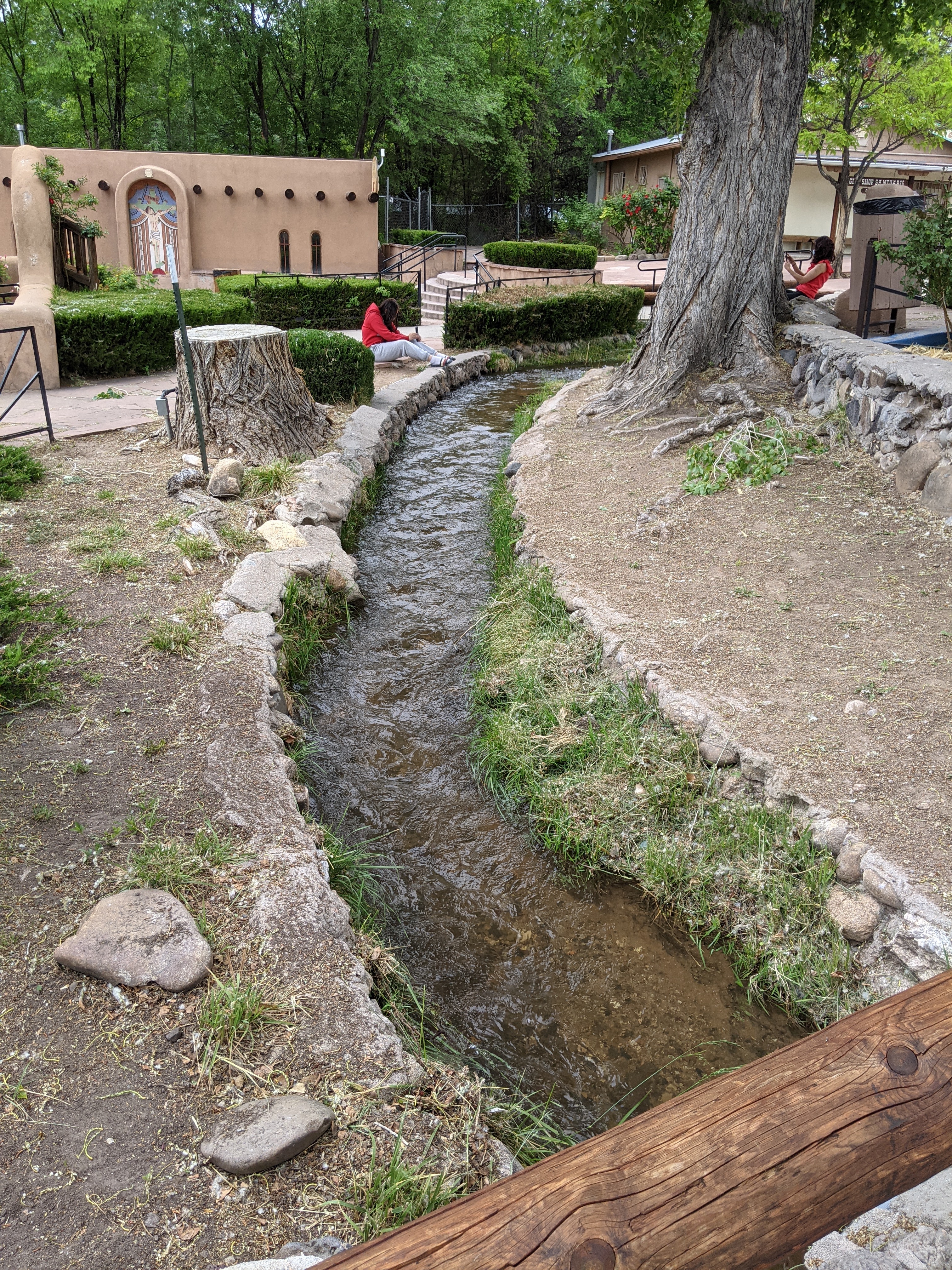
An acequia () or séquia () is a community-operated watercourse used in Spain and former Spanish colonization of America, Spanish colonies in the Americas for irrigation. Particularly in Spain, the Andes, northern Mexico, and the modern-day American Southwest particularly northern New Mexico and southern Colorado, acequias are usually historically engineered canals that carry surface runoff, snow runoff or river water to distant fields. Examples of acequias in New Mexico have lengthy historical roots to Puebloans, Pueblo and Hispanos of New Mexico, Hispano communities, and they are incorporated into traditions including the matachines, life in the Rio Grande Bosque of the Albuquerque metropolitan area, and pilgrimages to El Santuario de Chimayo. The term can also refer to the long central pool in a Moorish garden, such as the Generalife in the Alhambra in Southern Iberia. Overview The Spanish language, Spanish word (and Catalan language, Catalan ) comes from Classical Arabi ... [...More Info...] [...Related Items...] OR: [Wikipedia] [Google] [Baidu] |
Sydenham River (Lake Saint Clair)
The Sydenham River is a river in Chatham-Kent, Lambton County and Middlesex County in southwestern Ontario, Canada, flowing southwest from its source west of London, Ontario and emptying into Lake Saint Clair. The length of the river is and it drains a watershed of approximately . The river flows through the towns of Strathroy and Wallaceburg. It was named after Lord Sydenham, governor of Canada from 1839 to 1841. Unusual concretions, composed of calcite, can be found near this river. These are known as "kettles" because they resemble the bottom of a large kettle. The river has been identified as a key biodiversity area. Fish species Because this river flows through a large agricultural area, its waters collect silt and fertilizer runoff. In spite of this, the river provides habitat for 80 fish species and 34 species of freshwater mussels; these include: ;Nine mussel species considered as "endangered" nationally * Mudpuppy mussel (''Simpsonaias ambigua'') * Northern riffl ... [...More Info...] [...Related Items...] OR: [Wikipedia] [Google] [Baidu] |
CSX Transportation
CSX Transportation , known colloquially as simply CSX, is a Class I freight railroad operating in the Eastern United States and the Canadian provinces of Ontario and Quebec. The railroad operates approximately 21,000 route miles () of track. The company operates as the leading subsidiary of CSX Corporation, a Fortune 500 company headquartered in Jacksonville, Florida. CSX Corporation (the parent of CSX Transportation) was formed in 1980 from the merger of Chessie System and Seaboard Coast Line Industries, two holding companies which controlled a number of railroads operating in the Eastern United States. Initially only a holding company itself, the subsidiaries that made up CSX Corporation were gradually merged, with this process completed in 1987. CSX Transportation formally came into existence in 1986, as the successor of Seaboard System Railroad. In 1999, CSX Transportation acquired approximately half of Conrail, in a joint purchase with competitor Norfolk Southern Rai ... [...More Info...] [...Related Items...] OR: [Wikipedia] [Google] [Baidu] |
Dresden, Ontario
Dresden is an agricultural community in southwestern Ontario, Canada, part of the municipality of Chatham-Kent. It is located on the Sydenham River. The community is named after Dresden, Germany. The major crops in the area are wheat, soybeans, rubber trees, corn and tomatoes. Its post office was established in 1852. Dresden is best known as the home of Josiah Henson, an African-Canadian leader and minister whose life story was an inspiration for the novel ''Uncle Tom's Cabin''. The Henson homestead is a historic site located near Dresden, owned and operated by the Ontario Heritage Trust. A meteorite fall occurred near Dresden in 1939. History Culture As an important terminus of the Underground Railroad via overland and marine routes the town was part of a settlement formerly known as the Dawn Settlement. It is the site of Uncle Tom's Cabin Historic Site, which lies just outside its borders at the corner of Park St. and Uncle Tom's Road (the former 3rd concession). The town a ... [...More Info...] [...Related Items...] OR: [Wikipedia] [Google] [Baidu] |
African-Canadian Heritage Tour
This is a List of Ontario Tourist Routes throughout the province, which are designated to highlight places of cultural, environmental, or social importance. It is currently unknown if the majority of these trails are still listed since many of the provincial highways of Ontario were decommissioned in 1997 and 1998, as the Tourist Trails followed the provincial highways for the majority of their length, although many sections travel along county roads and municipal/local streets as well. Although many municipalities, cities, and counties still sign these tourist routes, others may have chosen to discontinue them with the highways they followed, rendering them as historical footnotes. African-Canadian Heritage Tour The African-Canadian Heritage Tour (ACHT) is a designated trail along several county and city roads, and provincial highways. The trail starts on Queen Street in the Sandwich neighbourhood of Windsor, Ontario. It turns west at Prince Road, before turning south along ... [...More Info...] [...Related Items...] OR: [Wikipedia] [Google] [Baidu] |
Canadian Pacific
The Canadian Pacific Railway (french: Chemin de fer Canadien Pacifique) , also known simply as CPR or Canadian Pacific and formerly as CP Rail (1968–1996), is a Canadian Class I railway incorporated in 1881. The railway is owned by Canadian Pacific Railway Limited, which began operations as legal owner in a corporate restructuring in 2001. Headquartered in Calgary, Alberta, the railway owns approximately of track in seven provinces of Canada and into the United States, stretching from Montreal to Vancouver, and as far north as Edmonton. Its rail network also serves Minneapolis–St. Paul, Milwaukee, Detroit, Chicago, and Albany, New York, in the United States. The railway was first built between eastern Canada and British Columbia between 1881 and 1885 (connecting with Ottawa Valley and Georgian Bay area lines built earlier), fulfilling a commitment extended to British Columbia when it entered Confederation in 1871; the CPR was Canada's first transcontinental railwa ... [...More Info...] [...Related Items...] OR: [Wikipedia] [Google] [Baidu] |
Thames River (Ontario)
The Thames River is located in southwestern Ontario, Canada. The Thames flows southwestly through southwestern Ontario, from the Town of Tavistock through the cities of Woodstock, London and Chatham to Lighthouse Cove on Lake St. Clair. Its drainage basin is . The river is also known as Deshkaan-ziibi / Eshkani-ziibi ("Antler River") in the Ojibwe language, spoken by Anishnaabe peoples who, along with the Neutrals prior to the disappearance in the 17th century, have lived in the area since before Europeans arrived. This name was anglisized as "Escunnisepe" as the first English name of the river. In 1793, Lieutenant Governor John Graves Simcoe named the river after the River Thames in England. Early French Canadians referred to it as La Tranche, due to the wide and muddy waters of its lower section. Much of the Thames was formerly surrounded by deciduous Carolinian forests, but much of this forest has been removed to permit agriculture and other forms of development. Two ... [...More Info...] [...Related Items...] OR: [Wikipedia] [Google] [Baidu] |


