|
Battle Of Megiddo (15th Century BC)
The Battle of Megiddo (fought 15th century BC) was fought between Egyptian forces under the command of Pharaoh Thutmose III and a large rebellious coalition of Canaanite vassal states led by the king of Kadesh.Cline 2000 pp. 16–17 It is the first battle to have been recorded in what is accepted as relatively reliable detail. Megiddo is also the first recorded use of the composite bow and the first body count. All details of the battle come from Egyptian sources—primarily the hieroglyphic writings on the Hall of Annals in the Temple of Amun-Re at Karnak, Thebes (now Luxor), by the military scribe Tjaneni. The ancient Egyptian account gives the date of the battle as the 21st day of the first month of the third season, of Year 23 of the reign of Thutmose III. It has been claimed that this was April 16, 1457 BC, according to the Middle Chronology, although other publications place the battle in 1482 BC or 1479 BC. The Egyptians routed the Canaanite forces, which fled to safet ... [...More Info...] [...Related Items...] OR: [Wikipedia] [Google] [Baidu] |
Thutmose III
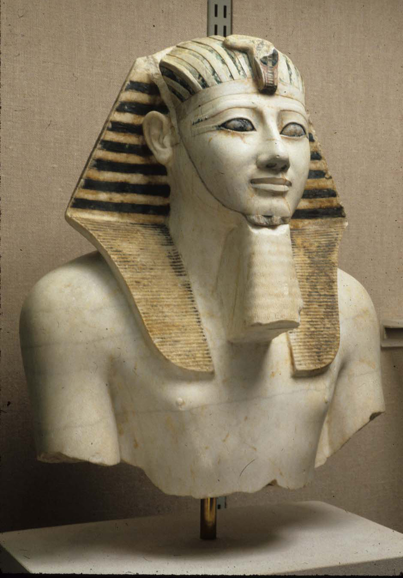
Thutmose III (variously also spelt Tuthmosis or Thothmes), sometimes called Thutmose the Great, was the sixth pharaoh of the Eighteenth Dynasty. Officially, Thutmose III ruled Egypt for almost 54 years and his reign is usually dated from 28 April 1479 BC to 11 March 1425 BC, from the age of two and until his death at age fifty-six; however, during the first 22 years of his reign, he was coregent with his stepmother and aunt, Hatshepsut, who was named the pharaoh. While he was shown first on surviving monuments, both were assigned the usual royal names and insignia and neither is given any obvious seniority over the other. Thutmose served as the head of Hatshepsut's armies. During the final two years of his reign, he appointed his son and successor, Amenhotep II, as his junior co-regent. His firstborn son and heir to the throne, Amenemhat, predeceased Thutmose III. He would become one of the most powerful pharaohs of the 18th dynasty. Becoming the sole ruling pharaoh of t ... [...More Info...] [...Related Items...] OR: [Wikipedia] [Google] [Baidu] |
Louvre
The Louvre ( ), or the Louvre Museum ( ), is the world's most-visited museum, and an historic landmark in Paris, France. It is the home of some of the best-known works of art, including the ''Mona Lisa'' and the ''Venus de Milo''. A central landmark of the city, it is located on the Right Bank of the Seine in the city's 1st arrondissement (district or ward). At any given point in time, approximately 38,000 objects from prehistory to the 21st century are being exhibited over an area of 72,735 square meters (782,910 square feet). Attendance in 2021 was 2.8 million due to the COVID-19 pandemic, up five percent from 2020, but far below pre-COVID attendance. Nonetheless, the Louvre still topped the list of most-visited art museums in the world in 2021."The Art Newspaper", 30 March 2021. The museum is housed in the Louvre Palace, originally built in the late 12th to 13th century under Philip II. Remnants of the Medieval Louvre fortress are visible in the basement ... [...More Info...] [...Related Items...] OR: [Wikipedia] [Google] [Baidu] |
Gaza City
Gaza (;''The New Oxford Dictionary of English'' (1998), , p. 761 "Gaza Strip /'gɑːzə/ a strip of territory in Palestine, on the SE Mediterranean coast including the town of Gaza...". ar, غَزَّة ', ), also referred to as Gaza City, is a Palestinian city in the Gaza Strip, with a population of 590,481 (in 2017), making it the largest city in the State of Palestine. Inhabited since at least the 15th century BCE, Gaza has been dominated by several different peoples and empires throughout its history. The Philistines made it a part of their pentapolis after the Ancient Egyptians had ruled it for nearly 350 years. Under the Roman Empire Gaza experienced relative peace and its port flourished. In 635 CE, it became the first city in Palestine to be conquered by the Muslim Rashidun army and quickly developed into a center of Islamic law. However, by the time the Crusaders invaded the country starting in 1099, Gaza was in ruins. In later centuries, Gaza experienced seve ... [...More Info...] [...Related Items...] OR: [Wikipedia] [Google] [Baidu] |
Tjaru
Tjaru ( egy, ṯꜣrw) was an ancient Egyptian fortress on the '' Way of Horus'' or '' Horus military road'', the major road leading out of Egypt into Canaan. It was known in Greek as Selē ( grc, Σελη), in Latin as Sile or Sele, and in Coptic as Selē or Slē ( cop, Ⲥⲉⲗⲏ or Ⲥⲗⲏ). It has been suggested that its remains form the Tel el-Habua near Qantarah.Ian Shaw, ''The Oxford History of Ancient Egypt'', Oxford University Press 2000, , p.200 Barry J. Kemp, ''Ancient Egypt: Anatomy of a Civilization'', Routledge 2005, , p.25 History The Horus of Mesen was worshipped at Tjaru in the form of a lion, and because of its close theological connections to Edfu, it is sometimes referred to as the Edfu of Lower Egypt. Tjaru, being a frontier town in an inhospitable desert region, was a place of banishment for criminals. Horemheb in his Great Edict threatens as punishment for various crimes by officials disfigurement and banishment to Tjaru. References in the Amarna le ... [...More Info...] [...Related Items...] OR: [Wikipedia] [Google] [Baidu] |
Ti'inik
Ti'inik, also transliterated Ti’innik ( ar, تعّنك), or Ta'anakh/Taanach ( he, תַּעְנַךְ), is a Palestinian village, located 13 km northwest of the city of Jenin in the northern West Bank. According to the Palestinian Central Bureau of Statistics, the village had a population of 1,095 inhabitants in mid-year 2006. Antiquity Tell Ta'annek/Tel Ta'anach: Bronze Age to Abbasid period Just to the north of Ti'inik is a 40-metre-high mound which was the site of the biblical city of Taanach or Tanach ( he, תַּעֲנָךְ; grc, Θαναάχ), a Levitical city allocated to the Kohathites.Freedman et al., 2000, p1228 "Its identification with modern Tell Ta'annek (171214) is undisputed because of the continuity in the name and because of its location on the southern branch of the Via Maris, next to the pass of Megiddo." Excavations at the tell were carried out by Albert Glock mostly during the 1970s and 1980s. Twelve Akkadian cuneiform tablets were found here. Approxi ... [...More Info...] [...Related Items...] OR: [Wikipedia] [Google] [Baidu] |
Infantry
Infantry is a military specialization which engages in ground combat on foot. Infantry generally consists of light infantry, mountain infantry, motorized infantry & mechanized infantry, airborne infantry, air assault infantry, and marine infantry. Although disused in modern times, heavy infantry also commonly made up the bulk of many historic armies. Infantry, cavalry, and artillery have traditionally made up the core of the combat arms professions of various armies, with the infantry almost always comprising the largest portion of these forces. Etymology and terminology In English, use of the term ''infantry'' began about the 1570s, describing soldiers who march and fight on foot. The word derives from Middle French ''infanterie'', from older Italian (also Spanish) ''infanteria'' (foot soldiers too inexperienced for cavalry), from Latin '' īnfāns'' (without speech, newborn, foolish), from which English also gets '' infant''. The individual-soldier term ' ... [...More Info...] [...Related Items...] OR: [Wikipedia] [Google] [Baidu] |
Chariot
A chariot is a type of cart driven by a charioteer, usually using horses to provide rapid motive power. The oldest known chariots have been found in burials of the Sintashta culture in modern-day Chelyabinsk Oblast, Russia, dated to c. 2000 BCE. The critical invention that allowed the construction of light, horse-drawn chariots was the spoked wheel. The chariot was a fast, light, open, two- wheeled conveyance drawn by two or more horses that were hitched side by side, and was little more than a floor with a waist-high guard at the front and sides. It was initially used for ancient warfare during the Bronze and Iron Ages, but after its military capabilities had been superseded by light and heavy cavalries, chariots continued to be used for travel and transport, in processions, for games, and in races. Etymology The word "chariot" comes from the Latin term ''carrus'', a loanword from Gaulish. In ancient Rome and some other ancient Mediterranean civilizations, a '' b ... [...More Info...] [...Related Items...] OR: [Wikipedia] [Google] [Baidu] |
Mesopotamia
Mesopotamia ''Mesopotamíā''; ar, بِلَاد ٱلرَّافِدَيْن or ; syc, ܐܪܡ ܢܗܪ̈ܝܢ, or , ) is a historical region of Western Asia situated within the Tigris–Euphrates river system, in the northern part of the Fertile Crescent. Today, Mesopotamia occupies modern Iraq. In the broader sense, the historical region included present-day Iraq and Kuwait and parts of present-day Iran, Syria and Turkey. The Sumerians and Akkadians (including Assyrians and Babylonians) originating from different areas in present-day Iraq, dominated Mesopotamia from the beginning of written history () to the fall of Babylon in 539 BC, when it was conquered by the Achaemenid Empire. It fell to Alexander the Great in 332 BC, and after his death, it became part of the Greek Seleucid Empire. Later the Arameans dominated major parts of Mesopotamia (). Mesopotamia is the site of the earliest developments of the Neolithic Revolution from around 10,000 BC. It ha ... [...More Info...] [...Related Items...] OR: [Wikipedia] [Google] [Baidu] |
Via Maris
Via Maris is one modern name for an ancient trade route, dating from the early Bronze Age, linking Egypt with the northern empires of Syria, Anatolia and Mesopotamia — along the Mediterranean coast of modern-day Egypt, Israel, Turkey and Syria. In Latin, ''Via Maris'' means "way of the sea", a translation of the Greek ὁδὸν θαλάσσης found in of the Septuagint. It is a historic road that runs in part along the Palestinian Mediterranean coast. It was the most important route from Egypt to Syria (the Fertile Crescent) which followed the coastal plain before crossing over into the plain of Jezreel and the Jordan valley. One earlier name was "Way of the Philistines", a reference to a passageway through the Philistine Plain (which today consists of Israel's southern coastal plain and the Gaza Strip). Academic researchers prefer other names, for instance "International Trunk Road" or "International Coastal Highway" (also uncapitalised). Together with the King's Highwa ... [...More Info...] [...Related Items...] OR: [Wikipedia] [Google] [Baidu] |
Mount Carmel, Israel
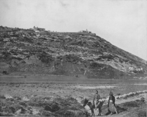
Mount Carmel ( he, הַר הַכַּרְמֶל, Har haKarmel; ar, جبل الكرمل, Jabal al-Karmil), also known in Arabic as Mount Mar Elias ( ar, link=no, جبل مار إلياس, Jabal Mār Ilyās, lit=Mount Saint Elias/Elijah), is a coastal mountain range in northern Israel stretching from the Mediterranean Sea towards the southeast. The range is a UNESCO biosphere reserve. A number of towns are situated there, most notably the city of Haifa, Israel's third largest city, located on the northern and western slopes. Etymology The word ''karmel'' means "garden-land" and is of uncertain origin. It is either a compound of ''kerem'' and ''el'', meaning "vineyard of God" or a clipping of ''kar male,'' meaning "full kernel." Martin Jan Mulder suggested a third etymology, that of ''kerem + l'' with the lamed a sufformative, but this is considered unlikely as evidence for the existence of a lamed sufformative is weak. Geography and geology The phrase "Mount Carmel" has been us ... [...More Info...] [...Related Items...] OR: [Wikipedia] [Google] [Baidu] |
Jezreel Valley
The Jezreel Valley (from the he, עמק יזרעאל, translit. ''ʿĒmeq Yīzrəʿēʿl''), or Marj Ibn Amir ( ar, مرج ابن عامر), also known as the Valley of Megiddo, is a large fertile plain and inland valley in the Northern District of Israel. It is bordered to the north by the highlands of the Lower Galilee region, to the south by the Samarian highlands, to the west and northwest by the Mount Carmel range, and to the east by the Jordan Valley, with Mount Gilboa marking its southern extent. The largest settlement in the valley is the city of Afula, which lies near its center. Etymology The Jezreel Valley takes its name from the ancient city of Jezreel (known in Hebrew as Yizre'el; ; known in Arabic as Zir'ēn, ) which was located on a low hill overlooking the southern edge of the valley. The word ''Jezreel'' comes from the Hebrew, and means "God sows" or " El sows".Cheyne and Black, ''Encyclopedia Biblica'' The phrase "valley of Jezreel" was sometimes use ... [...More Info...] [...Related Items...] OR: [Wikipedia] [Google] [Baidu] |
Mitanni
Mitanni (; Hittite cuneiform ; ''Mittani'' '), c. 1550–1260 BC, earlier called Ḫabigalbat in old Babylonian texts, c. 1600 BC; Hanigalbat or Hani-Rabbat (''Hanikalbat'', ''Khanigalbat'', cuneiform ') in Assyrian records, or ''Naharin'' in Ancient Egypt, Egyptian texts, was a Hurrian language, Hurrian-speaking state in northern Syria (region), Syria and southeast Anatolia (modern-day Turkey). Since no histories or royal annals/chronicles have yet been found in its excavated sites, knowledge about Mitanni is sparse compared to the other powers in the area, and dependent on what its neighbours commented in their texts. The Hurrians were in the region as of the late 3rd millennium BC. A king of Urkesh with a Hurrian name, Tupkish, was found on a clay sealing dated c. 2300 BC at Tell Mozan.Salvini, Mirjo. "The earliest evidences of the Hurrians before the formation of the reign of Mittanni." Urkesh and the Hurrians Studies in Honor of Lloyd Cotsen. Urkesh/Mozan Studies Biblioth ... [...More Info...] [...Related Items...] OR: [Wikipedia] [Google] [Baidu] |


