|
Arkansas Delta
The Arkansas Delta is one of the six natural regions of the state of Arkansas. Willard B. Gatewood Jr., author of ''The Arkansas Delta: Land of Paradox'', says that rich cotton lands of the Arkansas Delta make that area "The Deepest of the Deep South." The region runs along the Mississippi River from Eudora north to Blytheville and as far west as Little Rock. It is part of the Mississippi embayment, itself part of the Mississippi River Alluvial Plain. The flat plain is bisected by Crowley's Ridge, a narrow band of rolling hills rising above the flat delta plains. Several towns and cities have been developed along Crowley's Ridge, including Jonesboro. The region's lower western border follows the Arkansas River just outside Little Rock down through Pine Bluff. There the border shifts to Bayou Bartholomew, stretching south to the Arkansas-Louisiana state line. While the Arkansas Delta shares many geographic similarities with the Mississippi Delta, it is distinguished by it ... [...More Info...] [...Related Items...] OR: [Wikipedia] [Google] [Baidu] |
Delta Cultural Center
The Delta Cultural Center in downtown Helena, Arkansas, is a cultural center and museum of the Department of Arkansas Heritage. It is dedicated to preserving and interpreting the culture of the Arkansas Delta. They also partner with other cultural organizations to interepret different cultural elements. The center consists of three buildings: *A Visitors Center which houses an interactive exhibition of Delta music including the Arkansas Blues and Heritage Festival, King Biscuit Blues Festival and the broadcast facilities for King Biscuit Time which is the longest running blues radio program in the nation. *The Train Depot, a former Union Pacific station, at Natchez and Missouri Street, houses exhibits on the American Civil War in Helena including the 1863 Battle of Helena, Union occupation of the area, slave experiences, and women in Civil War Helena. The Train Depot also has exhibits on the history of the Mississippi River including the Great Mississippi Flood of 1927 and exhib ... [...More Info...] [...Related Items...] OR: [Wikipedia] [Google] [Baidu] |
Mississippi Lowland Forests
The Mississippi lowland forests are a temperate broadleaf and mixed forest ecoregion in the eastern United States, covering an area of . Setting Located on the Mississippi Alluvial Plain from Louisiana north to the southern edge of Illinois, the original forest cover of the Mississippi lowland forests was primarily bottomland hardwood forests, often subject to seasonal flooding which dictates the growth rate and composition. The forests historically occupied over 10,000,000 hectares of thick well-established forest of cypress ('' Taxodium'' spp.), hickory, oak and cedars similar to that found in the Middle Atlantic Coastal Forests region. However nearly all the original forest along the Mississippi has now been cleared. The Mississippi floodplain is distinct from the surrounding countryside which is higher and drier. Flora The remaining woodlands are a mixture of oak, hickory and pine along with a rich mixture of other trees including bald cypress (''Taxodium distichum''), wate ... [...More Info...] [...Related Items...] OR: [Wikipedia] [Google] [Baidu] |
Phillips County, Arkansas
Phillips County is a county located in the eastern part of the U.S. state of Arkansas, in what is known as the Arkansas Delta along the Mississippi River. As of the 2020 census, the population was 16,568. The county seat is Helena–West Helena. Phillips County is Arkansas's seventh (7th) county, formed on May 1, 1820. It was named for Sylvanus Phillips, the area's first-known white or European-American settler; he was elected as representative to the first Territorial Legislature of the Arkansas Territory. This fertile lowland area was developed for cotton plantations in the antebellum area and is still largely rural and agricultural. The Helena-West Helena, AR Micropolitan Statistical Area includes all of Phillips County. From September 30-October 1, 1919 during the Elaine race riot in Phillips County, at least 237 African Americans were killed, attacked at large by armed whites trying to suppress the Progressive Farmers and Household Union of America which was org ... [...More Info...] [...Related Items...] OR: [Wikipedia] [Google] [Baidu] |
Monroe County, Arkansas
Monroe County is located in the Arkansas Delta in the U.S. state of Arkansas. The county is named for James Monroe, the fifth President of the United States. Created as Arkansas's 20th county on November 2, 1829, Monroe County is home to two incorporated towns and three incorporated cities, including Clarendon, the county seat, and Brinkley, the most populous city. The county is also the site of numerous unincorporated communities and ghost towns. Occupying only , Monroe County is the 22nd smallest county in Arkansas. As of the 2010 Census, the county's population is 8,149 people in 4,455 households. Based on population, the county is the fifth-smallest county of the 75 in Arkansas. Located in the Arkansas Delta, the county is largely flat with fertile soils. Historically covered in forest, bayous, swamps, and grasslands, the area was cleared for agriculture by early European-American settlers who used enslaved African Americans to do the work and to cultivate cotton. It is dra ... [...More Info...] [...Related Items...] OR: [Wikipedia] [Google] [Baidu] |
Mississippi County, Arkansas
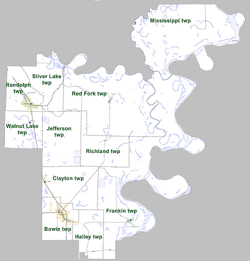
Mississippi County is the easternmost county in the U.S. state of Arkansas. As of the 2020 census, the population was 40,685. There are two county seats, Blytheville and Osceola. The county was formed on November 1, 1833, and named for the Mississippi River which borders the county to the east. Mississippi County is part of the First Congressional District in Arkansas. The Blytheville, AR Micropolitan Statistical Area includes all of Mississippi County. Geography According to the U.S. Census Bureau, the county has a total area of , of which is land and (2.1%) is water. Major highways * Interstate 55 * U.S. Highway 61 * Highway 14 * Highway 18 * Highway 18 Business * Highway 77 * Highway 118 * Highway 119 * Highway 135 * Highway 136 * Highway 137 * Highway 137 Spur * Highway 140 * Highway 150 * Highway 151 * Highway 158 * Highway 181 * Highway 239 * Highway 239 Spur * Highway 947 Adjacent counties * Dunklin County, Missouri (northwest) *Pemiscot C ... [...More Info...] [...Related Items...] OR: [Wikipedia] [Google] [Baidu] |
Lee County, Arkansas
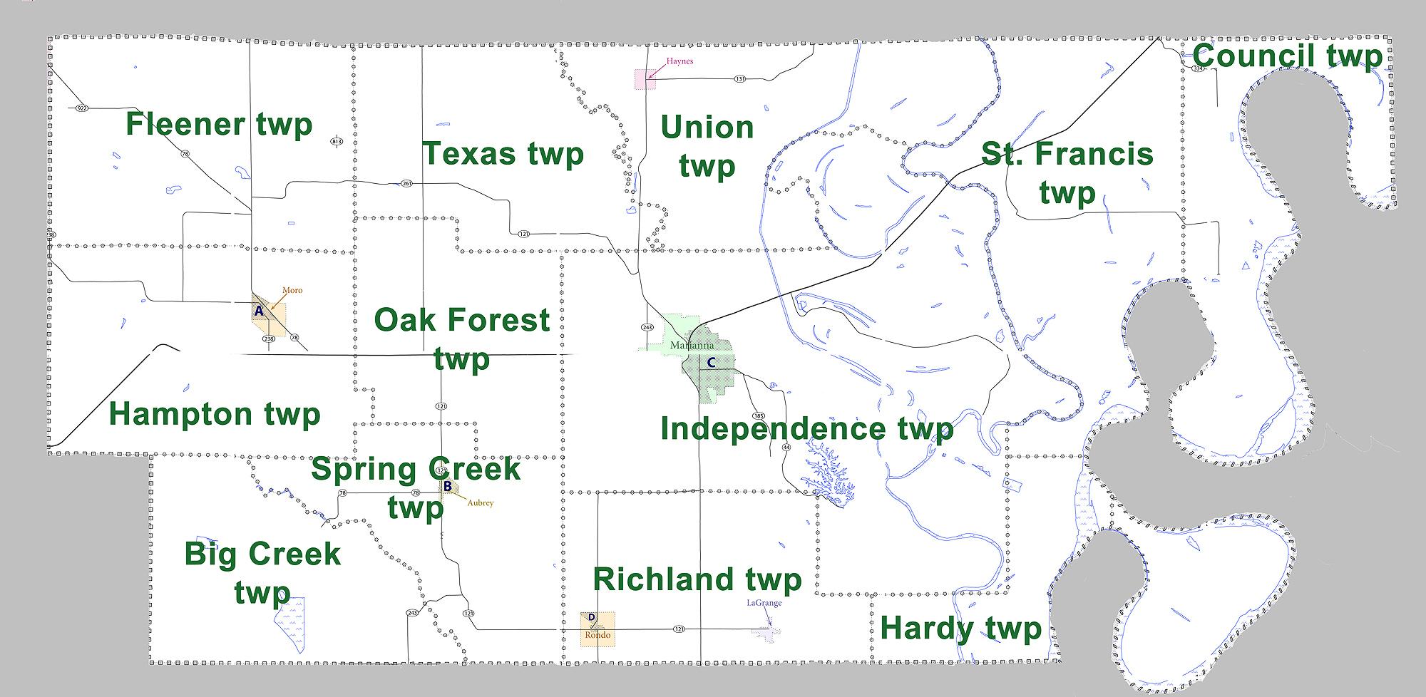
Lee County is a county located in the U.S. state of Arkansas. With its eastern border formed by the Mississippi River, it is considered to be part of the Arkansas Delta. As of the 2010 census, the population was 10,424. The county seat is Marianna. The county was established on April 17, 1873, during the Reconstruction era. It was named for General Robert E. Lee, who served as General in Chief of the Armies of the Confederate States in 1865. The area of the Delta was developed largely for cotton as a commodity crop before the Civil War, based on the labor of enslaved African Americans. It continued as an important crop into the 20th century, when it was worked by African-American sharecroppers and tenant farmers. History In the post-Reconstruction era, whites struggled to re-establish white supremacy, by violence and intimidation of black Republican voters in this area and throughout the South. At the turn of the century, the state legislature passed measures that effect ... [...More Info...] [...Related Items...] OR: [Wikipedia] [Google] [Baidu] |
Greene County, Arkansas
Greene County is a county located in the U.S. state of Arkansas. As of the 2010 census, the population was 42,090. The county seat is Paragould, which sits atop Crowley's Ridge. Greene County is included in Jonesboro–Paragould Combined Statistical Area. History The first settler in the area was Benjamin Crowley, who arrived from Kentucky in 1821 and made his home about west of Paragould. Greene County was formed on 5 November 1833 out of portions of Lawrence County and originally contained parts of present Clay and Craighead counties. The county was named for Revolutionary War hero Nathanael Greene. The first county seat was in Benjamin Crowley's home. By 1836, when Arkansas became a state, the county seat was located in a settlement called "Paris" (not to be confused with present-day Paris, Arkansas). In 1848 a national highway was made through the area, and the county seat was moved to Gainesville, which had a reputation as rather lawless. The seat remained there ... [...More Info...] [...Related Items...] OR: [Wikipedia] [Google] [Baidu] |
Drew County, Arkansas
Drew County is a county located in the southeast region of the U.S. state of Arkansas. As of the 2010 census, the population was 18,509, making it the 39th most populous of Arkansas's 75 counties. The county seat and largest city is Monticello. Drew County was formed on November 26, 1846, and named for Thomas Drew, the third governor of Arkansas. Located on the edge of the Arkansas Delta and the Arkansas Timberlands, its fertile lowland soils produced prosperity for early settlers in the antebellum era. Cotton was the major commodity crop, cultivated by the labor of enslaved African Americans. Corn, apples, peaches and tomatoes were also grown through their work. Following the Civil War, the boundaries of Drew County changed as some property, including Mill Creek Township, was reassigned to the new Lincoln County established by the Reconstruction-era legislature in 1871. In the late 19th and early 20th centuries, timber harvesting became a more important industry here tha ... [...More Info...] [...Related Items...] OR: [Wikipedia] [Google] [Baidu] |
Desha County, Arkansas
Desha County ( ) is a county located in the southeast part of the U.S. state of Arkansas, with its eastern border the Mississippi River. At the 2010 census, the population was 13,008. It ranks 56th of Arkansas's 75 counties in terms of population. The county seat is Arkansas City. Located in the Arkansas Delta, Desha County's rivers and fertile soils became prosperous for planters under the cotton-based economy of plantation agriculture in the antebellum years and late 19th century. Still largely rural, it has suffered population losses and economic decline since the mid-20th century. But following widespread farm mechanization, Desha County underwent a demographic and economic transformation. Farm workers left the area because of the lack of work, and there was a decline in population. Farm holdings have been consolidated into industrial style farms and the economy cannot support much activity. In the 21st century, the county is seeking to reverse population and economic loss ... [...More Info...] [...Related Items...] OR: [Wikipedia] [Google] [Baidu] |
Cross County, Arkansas
Cross County is a rural Northeast Arkansas county in the Arkansas Delta. Created as Arkansas's 53rd county on November 15, 1862, Cross County contains four incorporated municipality, municipalities, including Wynne, Arkansas, Wynne, the county seat and most populous city. It is named for Confederate States of America, Confederate Colonel (United States), Colonel David C. Cross, a political leader in the area. The county is largely flat and fertile, mostly used for row crop, row agriculture typical of the rich alluvial soils of the Arkansas Delta. Crowley's Ridge, a forested deposit of loess hills rising from the flat Delta bisects the county from north to south, including part of Wynne and most of Village Creek State Park (Arkansas), Village Creek State Park, the county's primary protected area of ecological value. Historical and cultural features range from Parkin Archeological State Park, which preserves a prehistoric Native Americans in the United States, Native American Moun ... [...More Info...] [...Related Items...] OR: [Wikipedia] [Google] [Baidu] |
Crittenden County, Arkansas
Crittenden County is a county located in the U.S. state of Arkansas. As of the 2010 census, the population was 50,902. The county seat is Marion, and the largest city is West Memphis. Located in the Arkansas Delta, Crittenden County is Arkansas's 12th county, formed October 22, 1825, and named for Robert Crittenden, the first Secretary of the Arkansas Territory. Crittenden County is part of the Memphis, TN-MS-AR Metropolitan Statistical Area. Most of the county's media comes from Memphis, although some Little Rock TV (Arkansas Educational Television Network, KATV) is imported by Comcast Cable. It lies within Arkansas's 1st congressional district. Geography According to the U.S. Census Bureau, the county has a total area of , of which is land and (4.2%) is water. Adjacent counties * Mississippi County (northeast) * Tipton County, Tennessee (east) * Shelby County, Tennessee (east) * DeSoto County, Mississippi (southeast) * Tunica County, Mississippi (south) * Lee ... [...More Info...] [...Related Items...] OR: [Wikipedia] [Google] [Baidu] |
Craighead County, Arkansas
Craighead County is a county located in the U.S. state of Arkansas. As of the 2020 census, the population was 111,231. The county has two county seats — Jonesboro and Lake City. Craighead County is Arkansas's 58th county, formed on February 19, 1859, and named for state Senator Thomas Craighead. It is one of several dry counties within the state of Arkansas, in which the sale of alcoholic beverages is largely prohibited. Craighead County is included in Jonesboro–Paragould Combined Statistical Area. History Craighead County was part of the territory claimed for France on April 9, 1682, by René Robert Cavelier, Sieur de La Salle, who laid claim to all of the land drained by the Mississippi River and its tributaries. LaSalle's claim was named Louisiana in honor of Louis XIV, King of France. The Treaty of Fontainebleau (1762) was signed between France and Spain and ownership of the Louisiana territory west of the Mississippi River was transferred to the Spanish crown a ... [...More Info...] [...Related Items...] OR: [Wikipedia] [Google] [Baidu] |


