|
Al Wahat District
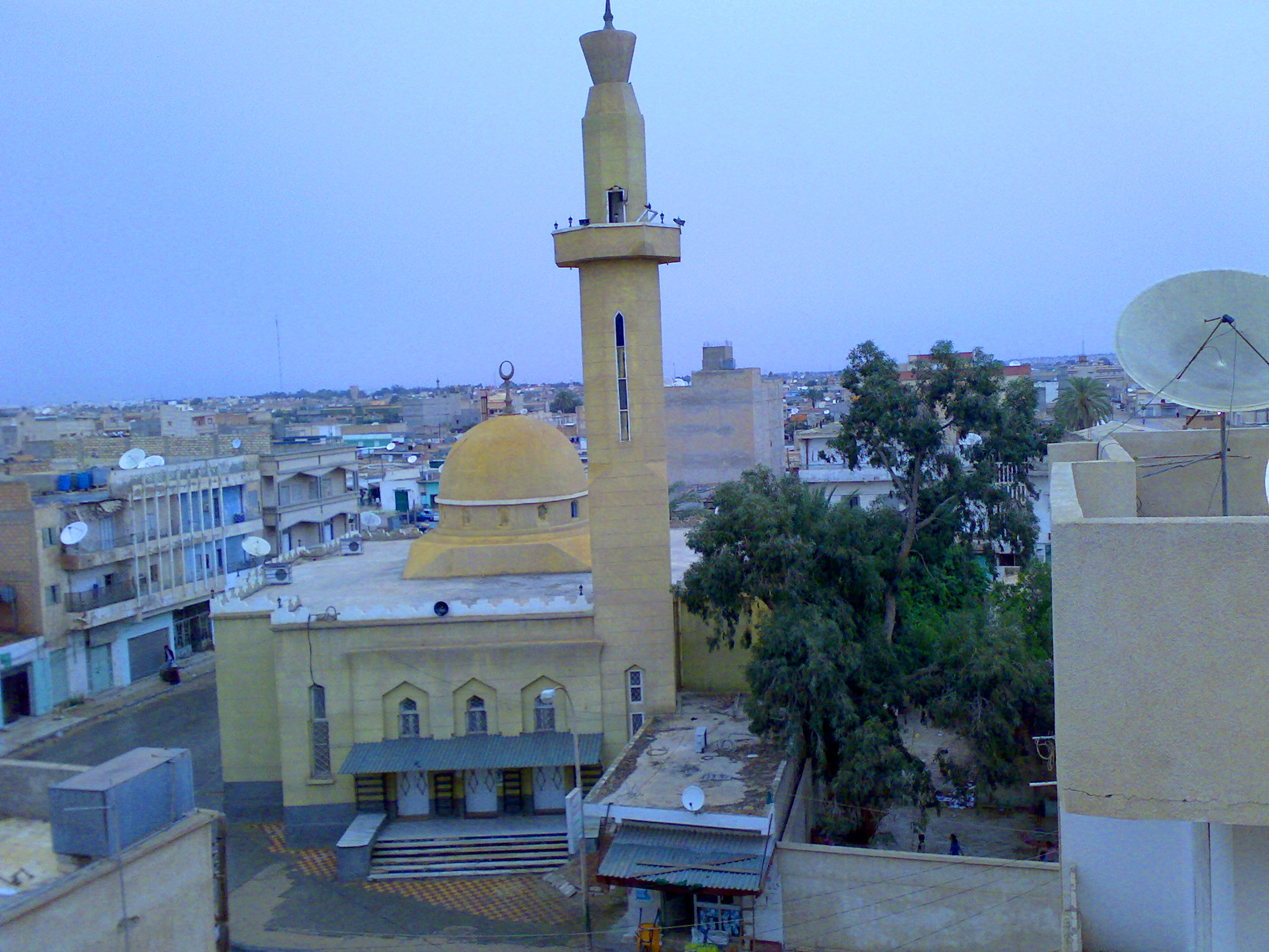
Al Wahat or The Oases ( ar, الواحات ', en, The Oases), occasionally spelt ''Al Wahad'' or ''Al Wahah'' ( en, The Oasis) is one of the districts of Libya.''Statesman's Yearbook 2006'' Its capital and largest city is Ajdabiya. The district is home to much of Libya's petroleum extraction economic activity. History Traditionally Al Wahat was the western part of Cyrenaica. With the division of Libya into ten governorates in 1963, Al Wahat became part of the Misrata Governorate. In the 1973 reorganization it became part of Al Khalji Governorate. In 1983 Al Khalji was divided into a number of baladiyat (districts), with what is now Al Wahat being included in the Ajdabiya baladiyah and the Jalu baladiyah. In the 1988 reorganization, Jalu was subsumed within Ajdabiya baladiyah. The status of the area in the reorganization of 1995 which created thirteen districts is unclear; however, in the 1998 reorganization into twenty-six districts, the name "Al-Wahad" appears as a district ... [...More Info...] [...Related Items...] OR: [Wikipedia] [Google] [Baidu] |
Districts Of Libya
In Libya there are currently 106 districts, second level administrative subdivisions known in Arabic as ''baladiyat'' (singular ''baladiyah''). The number has varied since 2013 between 99 and 108. The first level administrative divisions in Libya are currently the governorates (''muhafazat''), which have yet to be formally deliniated, but which were originally tripartite as: Tripolitania in the northwest, Cyrenaica in the east, and Fezzan in the southwest; and later divided into ten governorates. Prior to 2013 there were twenty-two first level administrative subdivisions known by the term ''shabiyah'' (Arabic singular ''šaʿbiyya'', plural ''šaʿbiyyāt'') which constituted the districts of Libya. In the 1990s the shabiyat had replaced an older baladiyat system. Historically the area of Libya was considered three provinces (or states), Tripolitania in the northwest, Cyrenaica in the east, and Fezzan in the southwest. It was the conquest by Italy in the Italo-Turkish War ... [...More Info...] [...Related Items...] OR: [Wikipedia] [Google] [Baidu] |
Marj District
Marj ( ar, المرج ', en, The Meadows) is an administrative division (''shabiyah'' or district) of northeastern Libya, lying on the Mediterranean Sea coast. Its administrative seat is the city of Marj, which was formerly known as Barca. Marj is situated on the Cyrenaica Plateau at the western edge of the Jebel Akhdar. In the 2007 administrative reorganization part of the territory formerly in Al Hizam al Akhdar District was transferred to Al Marj. In the north, Marj has a shoreline on the Mediterranean Sea. On land, it borders Jabal al Akhdar in the east, Al Wahat in south and Benghazi in the west. Per the census of 2012, the total population in the region was 157,747 with 150,353 Libyans. The average size of the household in the country was 6.9, while the average household size of non-Libyans being 3.7. There were totally 22,713 households in the district, with 20,907 Libyan ones. The population density of the district was 1.86 persons per km2. Per 2006 census, there ... [...More Info...] [...Related Items...] OR: [Wikipedia] [Google] [Baidu] |
Sultan, Libya
Sultan ( ar, سلطان) is a coastal town in the Al Wahat District, Cyrenaica region, in north-eastern Libya Libya (; ar, ليبيا, Lībiyā), officially the State of Libya ( ar, دولة ليبيا, Dawlat Lībiyā), is a country in the Maghreb region in North Africa. It is bordered by the Mediterranean Sea to the north, Egypt to Egypt–Libya bo .... From 1983 to 1995 and again from 2001 to 2007 it was part of the District of Ajdabiya. References External linksSatellite map at Maplandia.com Port cities and towns in Libya Populated places in Al Wahat District Cyrenaica {{libya-geo-stub ... [...More Info...] [...Related Items...] OR: [Wikipedia] [Google] [Baidu] |
Jikharra
Jikharra (إجخرة ''Ijkharrah'') is a desert oasis town formerly in the Al Wahat District, Cyrenaica region, in north-eastern Libya. Prior to 2007, it was in the Ajdabiya District Ajdabiya ( ar, إجدابيا) was one of the districts of Libya. It lay in the northeastern part of the country. Its capital was Ajdabiya. As of 2007 it was subsumed within the enlarged Al Wahat District. When Ajdabiya District was in existence .... After 2015 it was in Jikharra District (بلدية إجخرة). References External linksSatellite map at Maplandia.com* http://www.wintershall.com/en/worldwide/libya.html Oases of Libya Populated places in Al Wahat District Cyrenaica Baladiyat of Libya {{libya-geo-stub ... [...More Info...] [...Related Items...] OR: [Wikipedia] [Google] [Baidu] |
El Agheila
El Agheila ( ar, العقيلة, translit=al-ʿUqayla ) is a coastal city at the southern end of the Gulf of Sidra in far western Cyrenaica, Libya. In 1988 it was placed in Ajdabiya District; it was in that district until 1995. It was removed from Ajdabiya District in 1995 but in 2001 it was placed back into Ajdabiya District. In 2007, El Agheila was placed within the enlarged Al Wahat District. El Agheila is best known to history as the site of several Second World War battles during the North African Campaign. History El Agheila is the site of the Roman fortified town of Anabucis and its Greek precursor Automala. During the Italian occupation of Libya the town was the site of an Italian concentration camp for Bedouins. The camp was just south of town and housed over 10,000 inmates. Thousands of the Bedouins starved to death in the camp run by the Italian colonial troops. World War II In February 1941, El Agheila was taken by the British Western Desert Force following t ... [...More Info...] [...Related Items...] OR: [Wikipedia] [Google] [Baidu] |
Labba, Libya
Labba (Al Labbah) is a desert town in the Al Wahat District in the Cyrenaica region of northeastern Libya. From 2001 to 2007 it was part of Ajdabiya District. accessed 6 July 2007 From 1983 to 1987 it was part of Jalu District Jalu Municipality ( ar, جالو) was one of the Municipalities of Libya, municipalities (''baladiyah'') of Libya from 1983 to 1987. It lay in the northeastern part of the country. Its capital was Jalu. From 2001 to 2007 the area was part of Ajd ... .
References [...More Info...] [...Related Items...] OR: [Wikipedia] [Google] [Baidu] |
Awjila
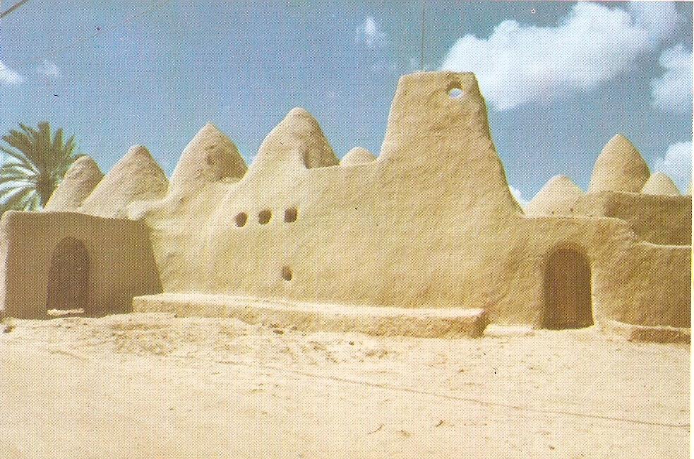
Awjila (Awjila language, Berber: ''Awilan'', ''Awjila'', ''Awgila''; ar, أوجلة; Latin: ''Augila'') is an oasis town in the Al Wahat District in the Cyrenaica region of northeastern Libya. Since classical times it has been known as a place where high quality Date fruit, dates are farmed. From the Arab conquest in the 7th century, Islam has played an important role in the community. The oasis is located on the east-west caravan route between Egypt and Tripoli, Libya, and on the north-south route between Benghazi and the Sahel between Lake Chad and Darfur, and in the past was an important trading center. It is the place after which the Awjila language, an Eastern Berber language, is named. The people cultivate small gardens using water from deep Water well, wells. Recently, the oil industry has become an increasingly important source of employment. Location Awjila and the adjoining oasis of Jalu are isolated, the only towns on the desert highway between Ajdabiya, to the nor ... [...More Info...] [...Related Items...] OR: [Wikipedia] [Google] [Baidu] |
Basic People's Congress (country Subdivision)
Basic People's Congress ( ar, مؤتمر شعبي أساسي, Mu'tamar shaʿbi asāsi) was the smallest administrative division in Libya under the Great Socialist People's Libyan Arab Jamahiriya from 1977 to 2011. Geographically it corresponded approximately to the level of a township or borough. During Muammar Gaddafi's rule, political caucuses and committees of the Basic People's Congress operated at this level.Vandewalle, Dirk J. (1998) ''Libya since independence: oil and state-building'' I B Tauris, London, pp. 95-97, Representatives from the Basic People's Congresses regulated operations at the higher shabiyah (district) level. In July 2013 the shabiyat and Basic People's Congress system was replaced with a new baladiyat system of ninety-nine first-level administrative divisions Administrative division, administrative unit,Article 3(1). country subdivision, administrative region, subnational entity, constituent state, as well as many similar terms, are generic n ... [...More Info...] [...Related Items...] OR: [Wikipedia] [Google] [Baidu] |
World Health Organization
The World Health Organization (WHO) is a specialized agency of the United Nations responsible for international public health. The WHO Constitution states its main objective as "the attainment by all peoples of the highest possible level of health". Headquartered in Geneva, Switzerland, it has six regional offices and 150 field offices worldwide. The WHO was established on 7 April 1948. The first meeting of the World Health Assembly (WHA), the agency's governing body, took place on 24 July of that year. The WHO incorporated the assets, personnel, and duties of the League of Nations' Health Organization and the , including the International Classification of Diseases (ICD). Its work began in earnest in 1951 after a significant infusion of financial and technical resources. The WHO's mandate seeks and includes: working worldwide to promote health, keeping the world safe, and serve the vulnerable. It advocates that a billion more people should have: universal health care coverag ... [...More Info...] [...Related Items...] OR: [Wikipedia] [Google] [Baidu] |
Nile
The Nile, , Bohairic , lg, Kiira , Nobiin language, Nobiin: Áman Dawū is a major north-flowing river in northeastern Africa. It flows into the Mediterranean Sea. The Nile is the longest river in Africa and has historically been considered the List of rivers by length, longest river in the world, though this has been contested by research suggesting that the Amazon River is slightly longer.Amazon Longer Than Nile River, Scientists Say Of the world's major rivers, the Nile is one of the smallest, as measured by annual flow in cubic metres of water. About long, its drainage basin covers eleven countries: the Democratic Republic of the Congo, Tanzania, Burundi, Rwanda, Uganda, Kenya, Ethiopia, Erit ... [...More Info...] [...Related Items...] OR: [Wikipedia] [Google] [Baidu] |
Cyrenacia
Cyrenaica ( ) or Kyrenaika ( ar, برقة, Barqah, grc-koi, Κυρηναϊκή ��παρχίαKurēnaïkḗ parkhíā}, after the city of Cyrene), is the eastern region of Libya. Cyrenaica includes all of the eastern part of Libya between longitudes E16 and E25, including the Kufra District. The coastal region, also known as ''Pentapolis'' ("Five Cities") in antiquity, was part of the Roman province of Crete and Cyrenaica, later divided into ''Libya Pentapolis'' and ''Libya Sicca''. During the Islamic period, the area came to be known as ''Barqa'', after the city of Barca. Cyrenaica became an Italian colony in 1911. After the 1934 formation of Libya, the Cyrenaica province was designated as one of the three primary provinces of the country. During World War II, it fell under British military and civil administration from 1943 until 1951, and finally in the Kingdom of Libya from 1951 until 1963. The region that used to be Cyrenaica officially until 1963 has formed severa ... [...More Info...] [...Related Items...] OR: [Wikipedia] [Google] [Baidu] |


