Yukon Flats on:
[Wikipedia]
[Google]
[Amazon]
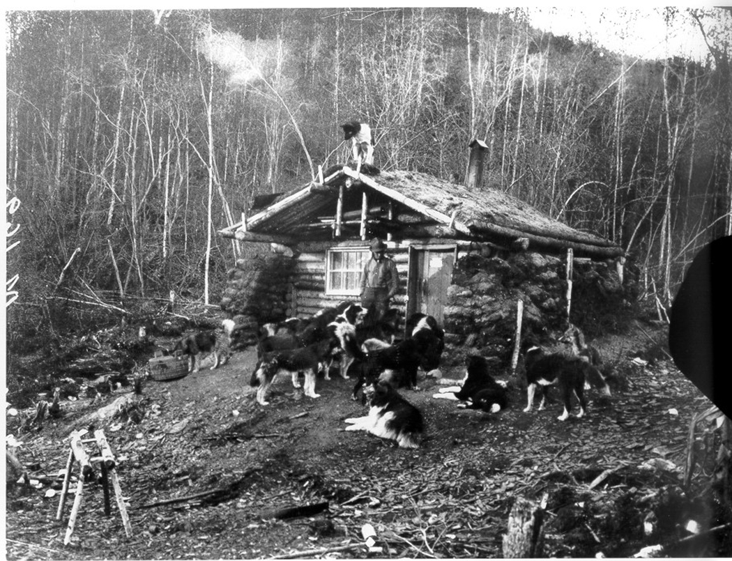
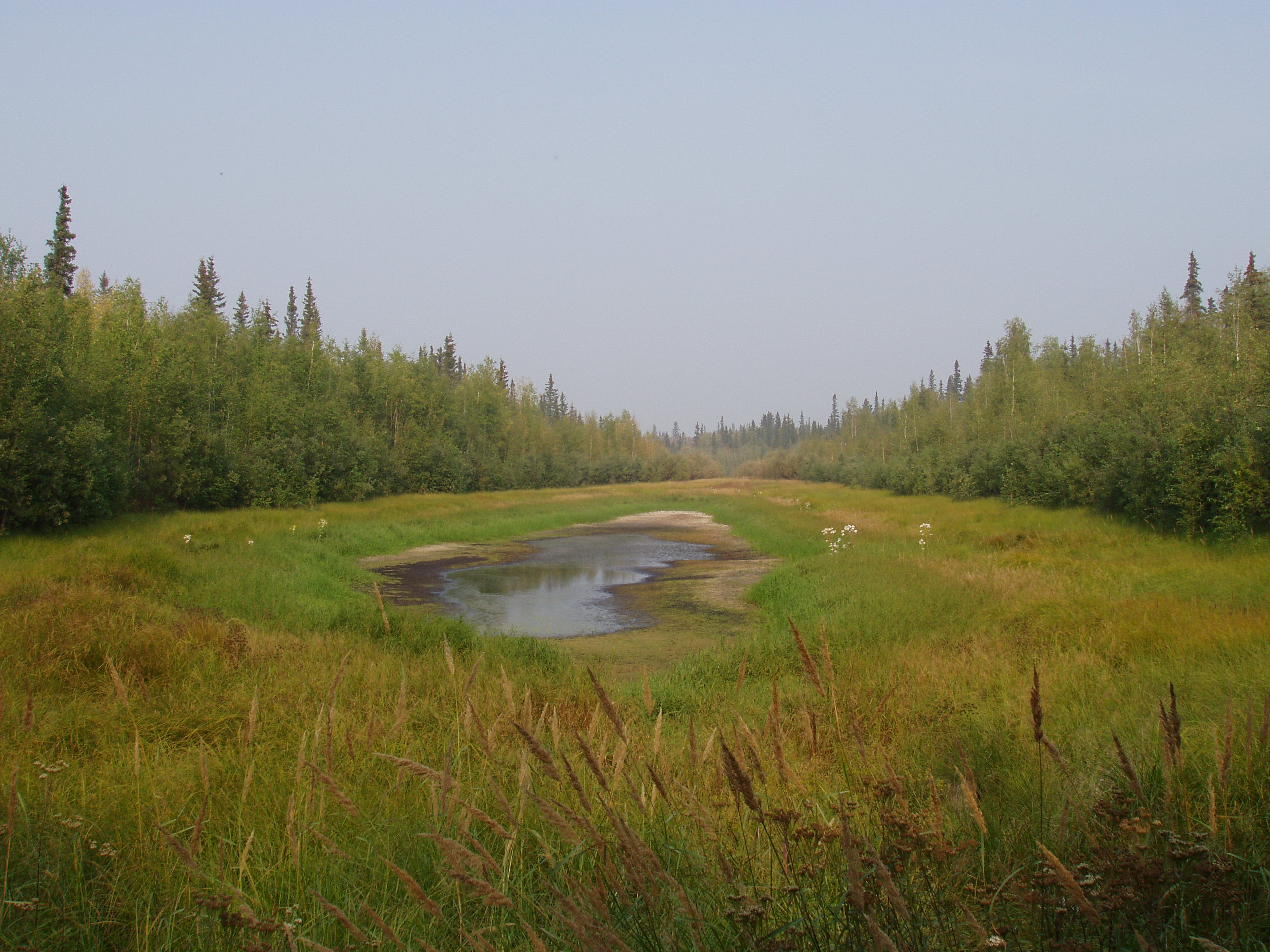
The Yukon Flats are a vast area of 
 The Yukon Flats straddle the
"Alaska National Wildlife Refuges: Yukon Flats Wildlife Refuge"
AlaskaOne.com. Accessed February 17, 2009. *U.S. Fish and Wildlife Service
"Yukon Flats National Wildlife Refuge"
FWS.gov. Accessed February 17, 2009. *U.S. Forest Service
Fs.fed.us. Accessed February 17, 2009. *U.S. Geological Survey
"Oil and Gas Assessment of Yukon Flats, East-Central Alaska, 2004"
USGS.gov. December 14, 2004. Accessed February 17, 2009.
A YouTube video showing and describing the Yukon Flats
Wetlands of Alaska Landforms of Yukon–Koyukuk Census Area, Alaska {{YukonKoyukukAK-geo-stub
wetland
A wetland is a distinct ecosystem that is flooded or saturated by water, either permanently (for years or decades) or seasonally (for weeks or months). Flooding results in oxygen-free (anoxic) processes prevailing, especially in the soils. The ...
s, forest, bog, and low-lying ground centered on the confluence of the Yukon River
The Yukon River (Gwichʼin language, Gwich'in: ''Ųųg Han'' or ''Yuk Han'', Central Alaskan Yup'ik language, Yup'ik: ''Kuigpak'', Inupiaq language, Inupiaq: ''Kuukpak'', Deg Xinag language, Deg Xinag: ''Yeqin'', Hän language, Hän: ''Tth'echù' ...
, Porcupine River
The Porcupine River (''Ch’ôonjik'' in Gwich’in) is a tributary of the Yukon River in Canada and the United States. It rises in the Ogilvie Mountains north of Dawson City, Yukon, Canada. From there it flows north through the community of ...
, and Chandalar River
The Chandalar River (''T'eedriinjik'' in Gwich'in) is a tributary of the Yukon River in the U.S. state of Alaska. Its peak flow, recorded by the United States Geological Survey (USGS) between 1964 and 1974 at a stream gauge at Venetie, was on ...
in the central portion of the U.S. state of Alaska
Alaska ( ; russian: Аляска, Alyaska; ale, Alax̂sxax̂; ; ems, Alas'kaaq; Yup'ik: ''Alaskaq''; tli, Anáaski) is a state located in the Western United States on the northwest extremity of North America. A semi-exclave of the U.S., ...
. The Yukon Flats are bordered in the north by the Brooks Range
The Brooks Range ( Gwich'in: ''Gwazhał'') is a mountain range in far northern North America stretching some from west to east across northern Alaska into Canada's Yukon Territory. Reaching a peak elevation of on Mount Isto, the range is belie ...
, in the south by the White Mountains, and cover an area of approximately . The Yukon Flats are a critical waterfowl breeding ground due to the large area of wetland provided by the estimated 40,000 small lakes and streams in the area. In recognition of this fact, the area is protected under the Yukon Flats National Wildlife Refuge
The Yukon Flats National Wildlife Refuge is a protected wetland area in the U.S. state of Alaska. It encompasses most of the Yukon Flats, a vast wetland area centered on the confluence of the Yukon River, Porcupine River, and Chandalar River.
...
.

Arctic Circle
The Arctic Circle is one of the two polar circles, and the most northerly of the five major circles of latitude as shown on maps of Earth. Its southern equivalent is the Antarctic Circle.
The Arctic Circle marks the southernmost latitude at w ...
and have an extremely variable climate. Temperatures of 95 F (35 °C) are not uncommon in summer, while winter temperatures have been known to drop to -70 F (-57 °C).
Several hundred Alaska Natives and others live in the Yukon Flats area. Though most of the region's people are concentrated in the villages of Fort Yukon
Fort Yukon (''Gwichyaa Zheh'' in Gwich'in) is a city in the Yukon-Koyukuk Census Area in the U.S. state of Alaska, straddling the Arctic Circle. The population, predominantly Gwich'in Alaska Natives, was 583 at the 2010 census, down from 595 ...
, Venetie
Venetie ( ;Corey Goldberg," ''New York Times'', 9 May 1997. ''Vįįhtąįį'' in Gwich’in), is a census-designated place (CDP) in Yukon–Koyukuk Census Area, Alaska. At the 2010 census, the population was 166, down from 202 in 2000. It includ ...
, Beaver, Stevens Village, Chalkyitsik
Chalkyitsik (''Jałgiitsik'' in Gwich'in), meaning "to fish with a hook, at the mouth of the creek", is a census-designated place (CDP) in Yukon-Koyukuk Census Area, Alaska, United States. It is located on the left (south) bank of the Black Riv ...
, and smaller settlements, numerous hunting cabins and seasonal settlements also dot the region. The region also potentially contains a large deposit of crude oil
Petroleum, also known as crude oil, or simply oil, is a naturally occurring yellowish-black liquid mixture of mainly hydrocarbons, and is found in geological formations. The name ''petroleum'' covers both naturally occurring unprocessed crude ...
and natural gas
Natural gas (also called fossil gas or simply gas) is a naturally occurring mixture of gaseous hydrocarbons consisting primarily of methane in addition to various smaller amounts of other higher alkanes. Low levels of trace gases like carbo ...
.
In 2008, a land trade was proposed between Doyon, Limited
Doyon, Limited, is one of thirteen Alaska Native Regional Corporations created under the Alaska Native Claims Settlement Act of 1971 (ANCSA) in settlement of aboriginal land claims. Doyon was incorporated in Alaska on June 26, 1972.Corporations ...
and the federal government. The exchange was to consolidate land holdings by the native corporation but was not completed.
References
*Alaska Internet Travel Guide"Alaska National Wildlife Refuges: Yukon Flats Wildlife Refuge"
AlaskaOne.com. Accessed February 17, 2009. *U.S. Fish and Wildlife Service
"Yukon Flats National Wildlife Refuge"
FWS.gov. Accessed February 17, 2009. *U.S. Forest Service
Fs.fed.us. Accessed February 17, 2009. *U.S. Geological Survey
"Oil and Gas Assessment of Yukon Flats, East-Central Alaska, 2004"
USGS.gov. December 14, 2004. Accessed February 17, 2009.
External links
A YouTube video showing and describing the Yukon Flats
Wetlands of Alaska Landforms of Yukon–Koyukuk Census Area, Alaska {{YukonKoyukukAK-geo-stub