Whetstone Brook on:
[Wikipedia]
[Google]
[Amazon]
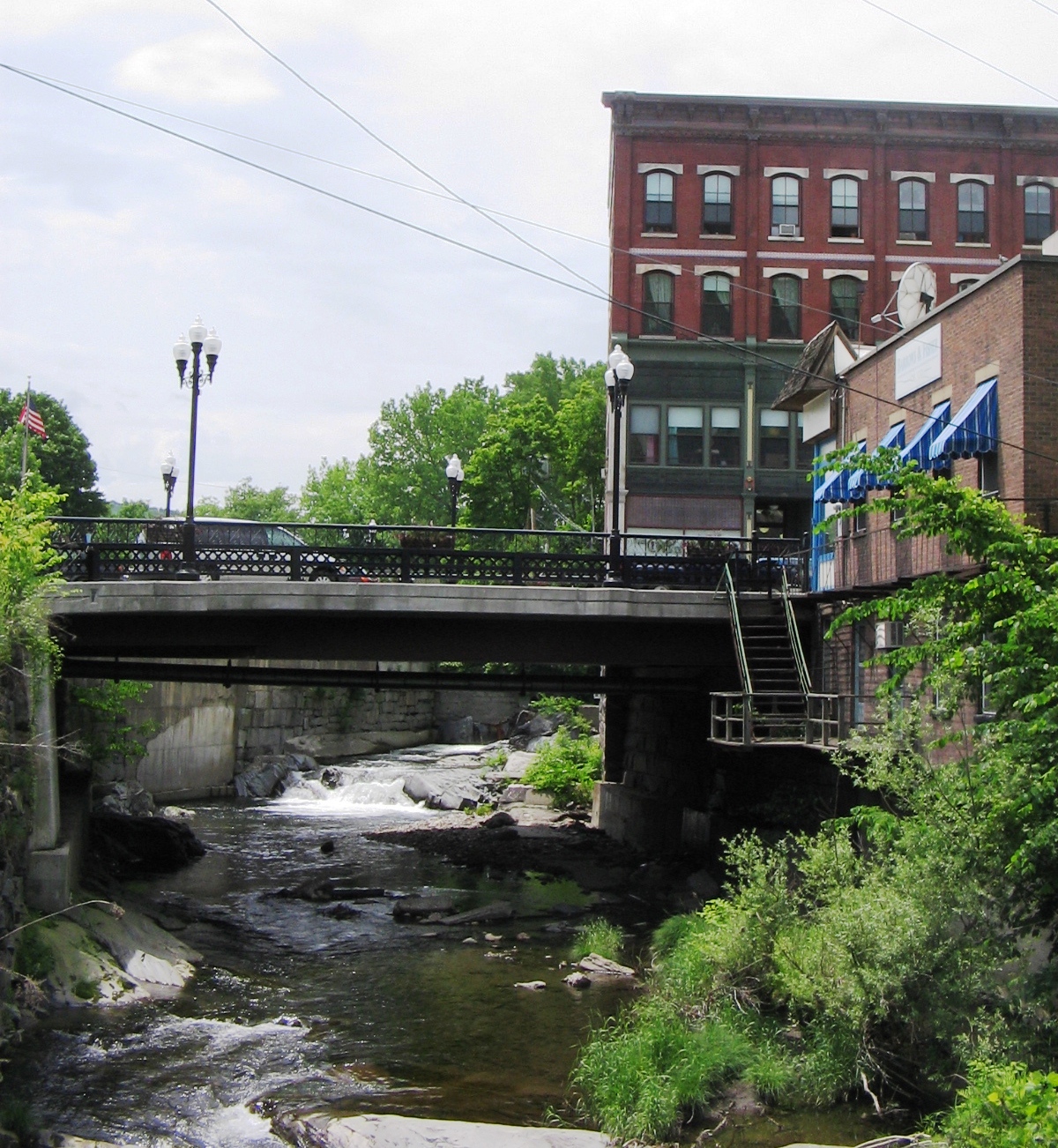
 Whetstone Brook is a tributary of the Connecticut River that runs through the heart of
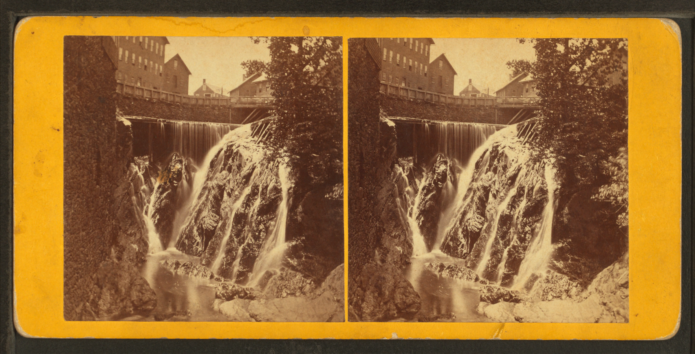
 Whetstone Brook was an important part of the economic development of the town of Brattleboro, providing power for mills and factories along the shore of the brook. The first
Brattleboro, Vermont
Brattleboro (), originally Brattleborough, is a town in Windham County, Vermont, United States. The most populous municipality abutting Vermont's eastern border with New Hampshire, which is the Connecticut River, Brattleboro is located about ...
, in the United States. It flows into the Connecticut at an elevation of above sea level. The headwater for the brook is at Hidden Lake, which is above sea level in the town of Marlboro
Marlboro (, ) is an American brand of cigarettes, currently owned and manufactured by Philip Morris USA (a branch of Altria) within the United States and by Philip Morris International (now separate from Altria) outside the US. The largest Mar ...
. Of the watershed, over two thirds is contained within Brattleboro, while another 30 percent is in Marlboro. The remaining 2% is within the town of Dummerston
Dummerston is a town in Windham County, Vermont, United States. The population was 1,865 at the 2020 census. It is home to the longest covered bridge still in use in Vermont. Its borders include three main villages: Dummerston Center, West Dumme ...
. The brook is crossed by Creamery Covered Bridge in West Brattleboro
West Brattleboro is a census-designated place (CDP) in the town of Brattleboro, Vermont, United States. The population was 3,222 at the 2000 census.
Geography
According to the United States Census Bureau, the CDP has a total area of 25.9 km ...
, which was built in 1879. The original Abenaki name for the waterway is ''Kitadowôganisibosis.''
History
 Whetstone Brook was an important part of the economic development of the town of Brattleboro, providing power for mills and factories along the shore of the brook. The first
 gristmill
A gristmill (also: grist mill, corn mill, flour mill, feed mill or feedmill) grinds cereal grain into flour and middlings. The term can refer to either the grinding mechanism or the building that holds it. Grist is grain that has been separat ...
was established in the area by Governor Wentworth of New Hampshire in 1762, while the region was still under disputed claims between the colonies of New York and New Hampshire
New Hampshire is a state in the New England region of the northeastern United States. It is bordered by Massachusetts to the south, Vermont to the west, Maine and the Gulf of Maine to the east, and the Canadian province of Quebec to the nor ...
. By 1773, the road near Whetstone Brook contained several sawmills, as well as housing from new settlers to the area.

Environmental issues
The Whetstone has a long history of contamination from the surrounding community of Brattleboro. In 1907, a local newspaper editorial described the brook becoming "an open sewer". In 1990, the Vermont Department of Environmental Conservation identified oil leakage from anunderground storage tank
An underground storage tank (UST) is, according to United States federal regulations, a storage tank, including any underground piping connected to the tank, that has at least 10 percent of its volume underground.
Definition & Regulation in U.S. ...
; the subsequent cleanup effort removed nearly 4,000 gallons of petroleum from the waterway and nearby soil, costing $440,000. The EPA uses the situation as a case study cleanup effort, for local-national cooperation in oil spill cleanup. As of 2007, the lower of the brook, along which there is significant development, is contaminated by '' E. coli'' and other bacteria. In 2011, a sewer interceptor pipe was ruptured during the landfall of Hurricane Irene
Hurricane Irene was a large and destructive tropical cyclone which affected much of the Caribbean and East Coast of the United States during late August 2011. The ninth named storm, first hurricane, and first major hurricane of the 2011 ...
, and nearly spilled sewage from the town of Brattleboro into the creek.
See also
*List of rivers of Vermont
This is a list of rivers in the U.S. state of Vermont, sorted by drainage basin, and ordered from lower to higher, with the towns at their mouths:
Connecticut River
The Connecticut River flows south towards Long Island Sound in Connecticut ...
References
Further reading
* {{authority control Tributaries of the Connecticut River Rivers of Vermont Rivers of Windham County, Vermont