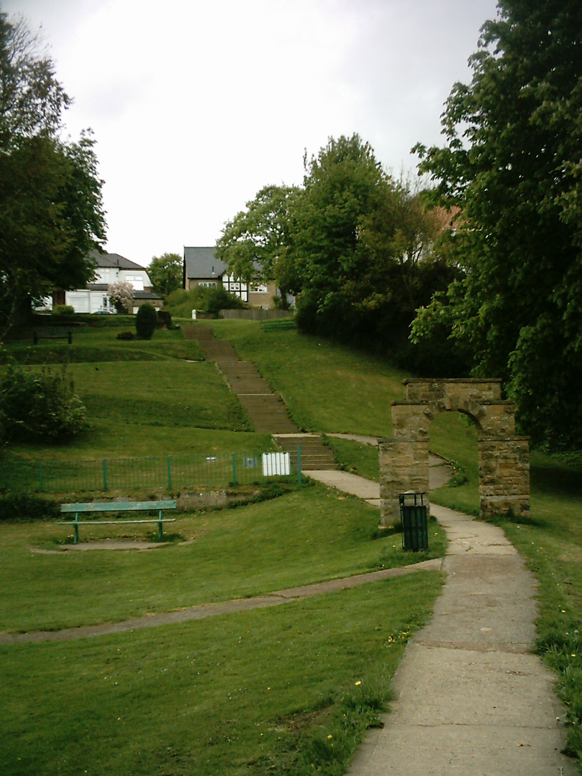
Wetherby Ings on:
[Wikipedia]
[Google]
[Amazon]
__NOTOC__

 Wetherby Ings are water meadows, by the

 Wetherby Ings are water meadows, by the
 River Wharfe
The River Wharfe ( ) is a river in Yorkshire, England originating within the Yorkshire Dales National Park. For much of its middle course it is the county boundary between West Yorkshire and North Yorkshire. Its valley is known as Wharfedale.
...
now used as parkland in Wetherby
Wetherby () is a market town and civil parish in the City of Leeds district, West Yorkshire, England, close to West Yorkshire county's border with North Yorkshire, and lies approximately from Leeds City Centre, from York and from Harrogat ...
, West Yorkshire
West Yorkshire is a metropolitan and ceremonial county in the Yorkshire and Humber Region of England. It is an inland and upland county having eastward-draining valleys while taking in the moors of the Pennines. West Yorkshire came into exi ...
, England. The ings
''Ings'' is an old word of Old English origin referring to water meadows and marshes.
The term appears in place names in Yorkshire (such as Hall Ings, Bradford, Fairburn Ings RSPB reserve, Clifton Ings in York, Derwent Ings, Sutton Ings, Ac ...
on the north and south bank are used as parkland and for sports grounds for the town's football and rugby league teams. The area is liable to flooding during heavy rain and the river has broken its banks frequently.
North bank
The north bank, known locally as Scaur Bank or King George's Field is a public space with a football pitch, playground, and open grassland. It is linked to the south bank by footbridge. There is a footpath by the side of the river which before the extension of Linton Golf Club led to Linton Bridge.South bank
On the south bank are the grounds of Wetherby Athletic AFC and Wetherby Bulldogs RLFC: football, rugby and all-weather pitches, a club house. There is a skate park close to a sports' centre. Fishing and angling takes place along the south bank of the river.References
Ings Wetherby Parks and commons in Leeds {{WestYorkshire-geo-stub