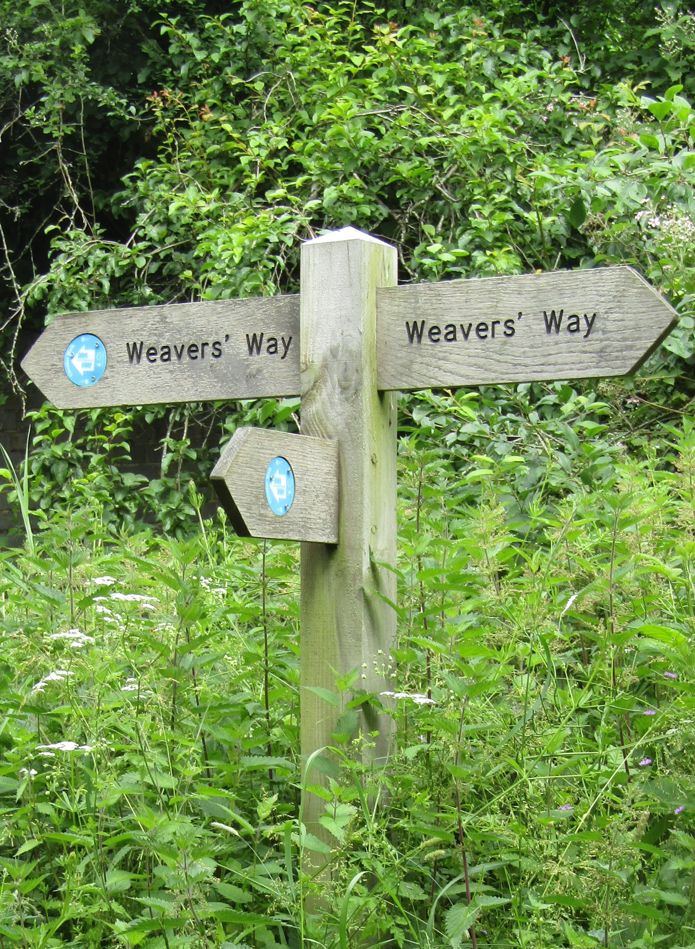
Weaver's Way on:
[Wikipedia]
[Google]
[Amazon]
The Weavers' Way is a long-distance footpath in Norfolk, England. Much of the Weavers’ Way footpath follows the old trackbed of the Aylsham to
 The Weavers' Way runs from Cromer to
 The Weavers' Way
on the LDWA website The name ''Weavers' Way'' comes from the cloth industry that was once a major industry in the area before the industrial revolution. At Cromer, the Weavers' Way links with the
The Weavers' Way
on the Norfolk County Council website.
Official Norfolk Trails website
Footpaths in Norfolk Long-distance footpaths in England Rail trails in England {{Norfolk-geo-stub
Great Yarmouth
Great Yarmouth (), often called Yarmouth, is a seaside town and unparished area in, and the main administrative centre of, the Borough of Great Yarmouth in Norfolk, England; it straddles the River Yare and is located east of Norwich. A pop ...
railway line, which was operated by the Midland and Great Northern Joint Railway and was closed in 1959.
Route
Great Yarmouth
Great Yarmouth (), often called Yarmouth, is a seaside town and unparished area in, and the main administrative centre of, the Borough of Great Yarmouth in Norfolk, England; it straddles the River Yare and is located east of Norwich. A pop ...
. It passes through Hanworth, Aylsham, North Walsham, Worstead
Worstead is a village and civil parish in the English county of Norfolk. It lies south of North Walsham, north of Wroxham, and north of Norwich. The village is served by Worstead railway station on the Bittern Line. For the purposes of local ...
, Stalham, Potter Heigham, Thurne and Halvergate
Halvergate is a village and civil parishes in England, civil parish in the English county of Norfolk, north of Reedham, Norfolk, Reedham, between the Rivers River Bure, Bure and River Yare, Yare, within The Broads. To the east of the village is t ...
; it then crosses the marshes around Berney Arms
Berney Arms is a settlement on the north bank of the River Yare, close to Breydon Water in the English county of Norfolk. It is part of the civil parish of Reedham, in the district of Broadland, and lies within The Broads. It comprises a rail ...
and skirts the northern edge of Breydon Water where it shares the same route as the Wherryman's Way.on the LDWA website The name ''Weavers' Way'' comes from the cloth industry that was once a major industry in the area before the industrial revolution. At Cromer, the Weavers' Way links with the
North Norfolk Coastal Path
The Norfolk Coast Path is a long-distance footpath in Norfolk, running 83 miles (133.5 km) from Hunstanton to Hopton-on-Sea. It was opened in 1986 and covers the North Norfolk Coast AONB (Area of Outstanding Natural Beauty).
It links with ...
; at Great Yarmouth, it joins the Angles Way
The Angles Way is a long-distance footpath in England, close to the River Waveney and River Little Ouse and thus close to the Norfolk/Suffolk border between Great Yarmouth and Thetford.
Originally the Angles Way went only as far as Knettishall ...
. Together with the Peddars Way, the trails form a circuit around Norfolk.
See also
*Recreational walks in Norfolk
The following are lists of recreational walks in Norfolk, England.
Short walks
The following walks are some of the routes.
*Blickling Hall has three waymarked walks.
* Bure Valley Way, 14 kilometres from Aylsham to Wroxham
*Felbrigg Hall has w ...
References
External links
The Weavers' Way
on the Norfolk County Council website.
Official Norfolk Trails website
Footpaths in Norfolk Long-distance footpaths in England Rail trails in England {{Norfolk-geo-stub