VERTCON on:
[Wikipedia]
[Google]
[Amazon]
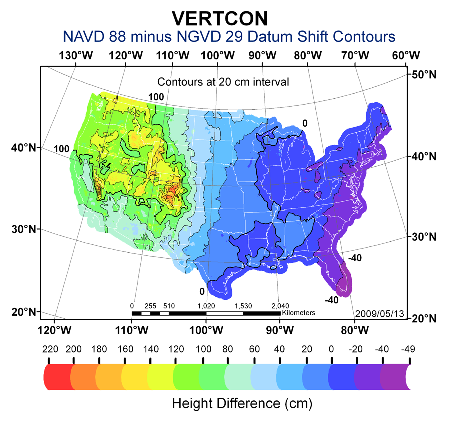
 VERTCON is a computer program that computes the modeled difference in orthometric height between the
 VERTCON is a computer program that computes the modeled difference in orthometric height between the
 North American Vertical Datum of 1988
The North American Vertical Datum of 1988 (NAVD 88) is the vertical datum for orthometric heights established for vertical control surveying in the United States of America based upon the General Adjustment of the North American Datum of 1988.
...
(NAVD 88) and the National Geodetic Vertical Datum of 1929 (NGVD 29) for a location in the contiguous United States
The contiguous United States (officially the conterminous United States) consists of the 48 adjoining U.S. states and the Federal District of the United States of America. The term excludes the only two non-contiguous states, Alaska and Hawaii ...
. The parameters required are the latitude and longitude of the location.
The program was created by the National Geodetic Survey (NGS) in 1994 and is available as an online tool, or PC executable package. The package contains the Perl source code. The NGS is the government agency charged with responsibility for the National Spatial Reference System
The National Spatial Reference System (NSRS), managed by the National Geodetic Survey (NGS), is a coordinate system that includes latitude, longitude, elevation, and other values. The NSRS consists of a National Shoreline, the NOAA CORS Network (a ...
.
References
{{reflist Vertical datums Perl software