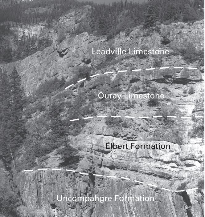
Uncompahgre Gorge on:
[Wikipedia]
[Google]
[Amazon]

 The Uncompahgre Gorge is a deep mountain canyon formed by the
/ref> Access to the gorge is via U.S. Highway 550 along the

 The Uncompahgre Gorge is a deep mountain canyon formed by the
 Uncompahgre River
The Uncompahgre River is a tributary of the Gunnison River, approximately 75 mi (121 km) long, in southwestern Colorado in the United States. Lake Como at 12,215 ft (3723m) in northern San Juan County, in the Uncompahgre National ...
and Red Mountain Creek in the Uncompahgre National Forest
Uncompahgre National Forest is a U.S. National Forest covering 955,229 acres (1,492.55 sq mi, or 3,865.68 km2) in (in descending order of land area) parts of Montrose County, Colorado, Montrose, Mesa County, Colorado, Mesa, San Miguel Count ...
. It is located just south of Ouray, in Ouray County, Colorado
Ouray County is a county located in the U.S. state of Colorado. As of the 2020 census, the population was 4,874. The county seat is Ouray. Because of its rugged mountain topography, Ouray County is also known as the Switzerland of America.
H ...
.
At the north end of the Gorge the Uncompahgre River flows into a deep box canyon
A canyon (from ; archaic British English spelling: ''cañon''), or gorge, is a deep cleft between escarpments or cliffs resulting from weathering and the erosive activity of a river over geologic time scales. Rivers have a natural tendency to cu ...
which is home to Ouray Ice Park.Ouray Ice Park/ref> Access to the gorge is via U.S. Highway 550 along the
Million Dollar Highway
U.S. Route 550 (US 550) is a spur of U.S. Highway 50 that runs from Bernalillo, New Mexico to Montrose, Colorado in the western United States. The section from Silverton to Ouray is frequently called the Million Dollar Highway.
which is cut through the steep cliffs high above the river.
Several waterfalls
A waterfall is a point in a river or stream where water flows over a vertical drop or a series of steep drops. Waterfalls also occur where meltwater drops over the edge of a tabular iceberg or ice shelf.
Waterfalls can be formed in several w ...
fall into the canyon, including Bear Creek Falls, right under a bridge on Highway 550 about 3 miles (5 km) south of Ouray.
References
External links
* Canyons and gorges of Colorado Landforms of Ouray County, Colorado San Juan National Forest {{Colorado-protected-area-stub