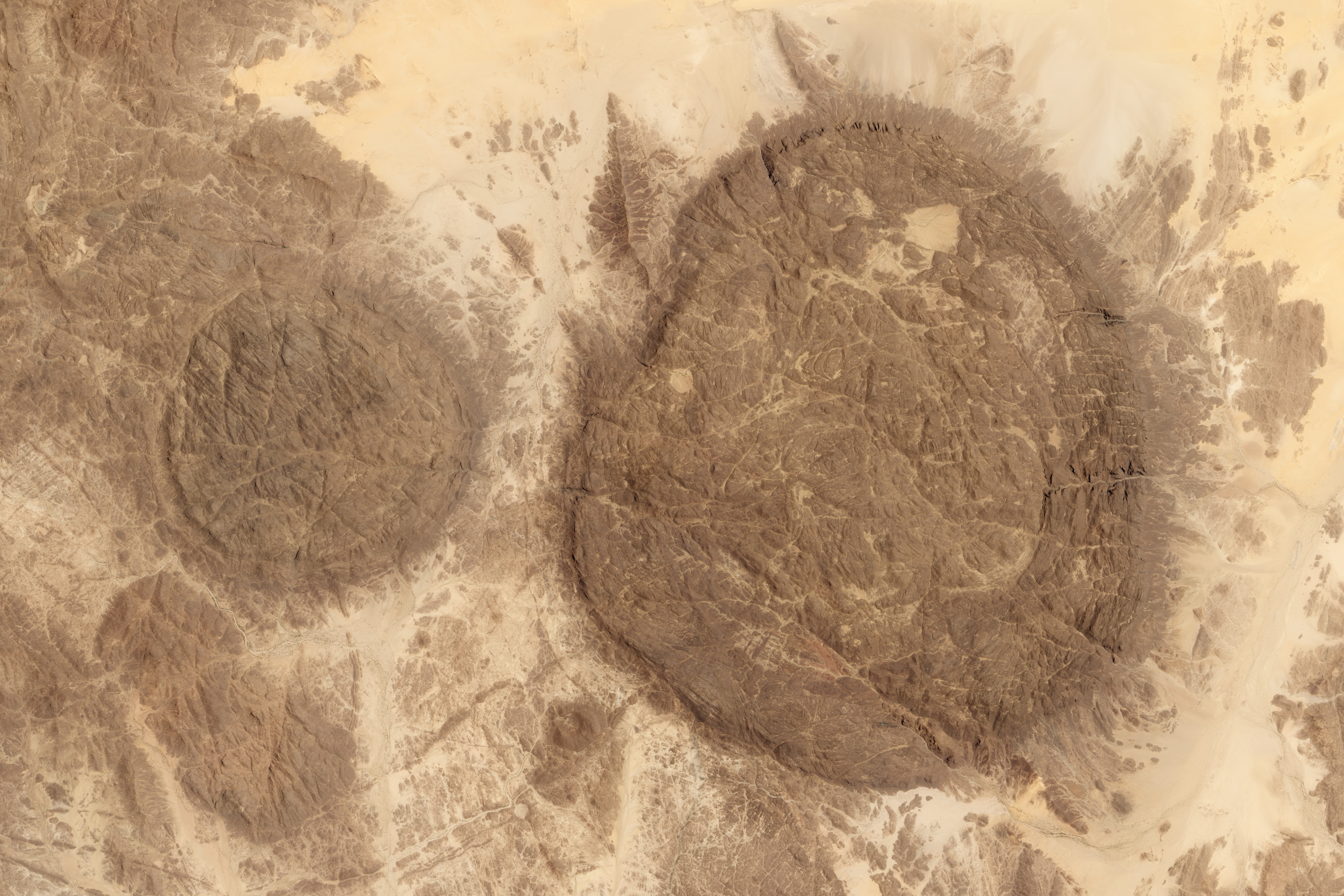
Talak (Niger) on:
[Wikipedia]
[Google]
[Amazon]

 Talak is a sandy

 Talak is a sandy
 dune
A dune is a landform composed of wind- or water-driven sand. It typically takes the form of a mound, ridge, or hill. An area with dunes is called a dune system or a dune complex. A large dune complex is called a dune field, while broad, fl ...
region in western Niger
)
, official_languages =
, languages_type = National languagesSahara Desert
, photo = Sahara real color.jpg
, photo_caption = The Sahara taken by Apollo 17 astronauts, 1972
, map =
, map_image =
, location =
, country =
, country1 =
, ...
.
This area extensively watered by small waterways that empty into the Niger River
The Niger River ( ; ) is the main river of West Africa, extending about . Its drainage basin is in area. Its source is in the Guinea Highlands in south-eastern Guinea near the Sierra Leone border. It runs in a crescent shape through Ma ...
makes it less barren than the rest of the vast desert area.
Discoveries of dinosaur
Dinosaurs are a diverse group of reptiles of the clade Dinosauria. They first appeared during the Triassic period, between 243 and 233.23 million years ago (mya), although the exact origin and timing of the evolution of dinosaurs is ...
bones and fossils of now extinct flora and fauna have been made in the valleys of this region. The Talak region is about 100,000 square km. Eastern Talak is crossed by a trans-Saharan road, which links Algeria on the Mediterranean with Kano in Nigeria.
Deserts of Niger
{{Niger-geo-stub