Transport In Belarus on:
[Wikipedia]
[Google]
[Amazon]


 This article is about transport in
BŽD / Белорусская Железная Дорога
official site
''total:''
''country comparison to the world:'' 32
''broad gauge:'' of gauge ( electrified) (2006) *City with
''paved:'' (2003)
''country comparison to the world:'' 37
''country comparison to the world:'' 76 *
''over :'' 2
'':'' 22
'':'' 4
'':'' 1
''under :'' 6 (2008)
'':'' 1
'':'' 1
'':'' 2
''under :'' 26 (2008)
Automobiles, Trains And Buses - Getting Around Belarus
{{DEFAULTSORT:Transport In Belarus


 This article is about transport in
 Belarus
Belarus,, , ; alternatively and formerly known as Byelorussia (from Russian ). officially the Republic of Belarus,; rus, Республика Беларусь, Respublika Belarus. is a landlocked country in Eastern Europe. It is bordered by R ...
.
Railways
Rail transport in Belarus is operated by Belarusskaya Chyhunkaofficial site
''total:''
''country comparison to the world:'' 32
''broad gauge:'' of gauge ( electrified) (2006) *City with
underground
Underground most commonly refers to:
* Subterranea (geography), the regions beneath the surface of the Earth
Underground may also refer to:
Places
* The Underground (Boston), a music club in the Allston neighborhood of Boston
* The Underground (S ...
railway system: Minsk
Minsk ( be, Мінск ; russian: Минск) is the capital and the largest city of Belarus, located on the Svislach and the now subterranean Niamiha rivers. As the capital, Minsk has a special administrative status in Belarus and is the admi ...
, see Minsk Metro
The Minsk Metro ( be, Мінскі метрапалітэн, russian: Минский метрополитен) is a rapid transit system that serves Minsk, the capital of Belarus. Opened in 1984, it presently consists of 3 lines and 33 stations, ...
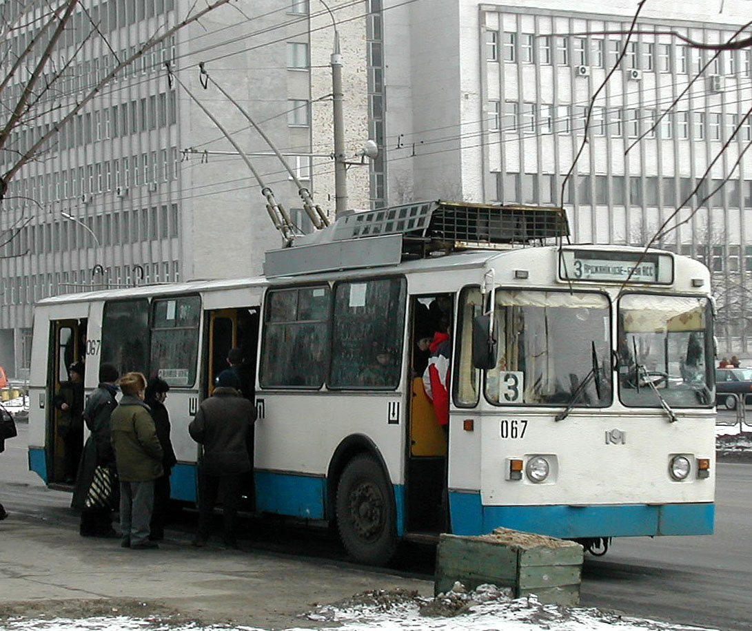
*For tramway systems: see List of town tramway systems in Belarus
This article shows a list of town tramway systems in Belarus. It includes all known tram systems in Belarus, past and present; cities with currently operating systems, and those systems themselves, are indicated in bold and blue background colore ...
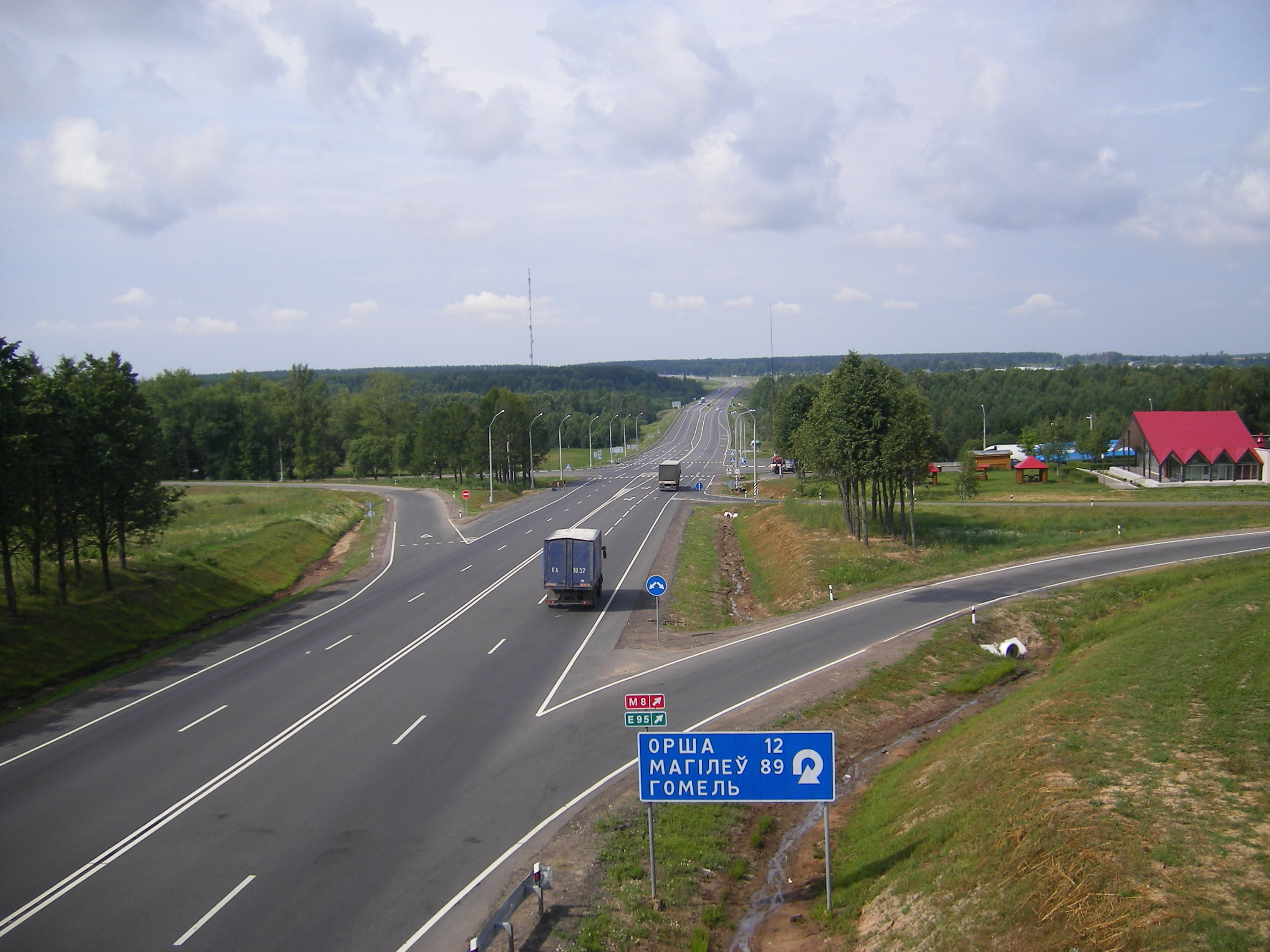
Highways
The owners of highways may be the Republic of Belarus, itspolitical subdivisions
Administrative division, administrative unit,Article 3(1). country subdivision, administrative region, subnational entity, constituent state, as well as many similar terms, are generic names for geographical areas into which a particular, ind ...
, legal and natural persons, who own roads, as well as legal entities, which roads are fixed on the basis of economic or operational management.
Republican state administration in the field of roads and road activity is the Department Belavtodor under the Ministry of Transport and Communications of the Republic of Belarus.
In total, in Belarus there are more than of roads and of departmental thousand (agriculture, industry, forestry, etc.), including in cities and towns. The density of paved roads has been relatively low – 337 km per 1,000 km2 territory – for comparison, in European countries with well-developed road network, the figure is an average of .
''total:''
''paved:'' (2003)
Waterways
(use limited by location on perimeter of country and by shallowness) (2003)''country comparison to the world:'' 37
Pipelines
gas ; oil ; refined products (2008)Ports and harbors
*Mazyr russian: Мозырь
, nickname =
, image_skyline = Mazyr Montage (2017).jpg
, imagesize = 250px
, image_flag =
, image_shield = Coat of Arms of Mazyr, Belarus.svg
, image_map =
, map_caption ...
- on the river Pripyat
Pripyat ( ; russian: При́пять), also known as Prypiat ( uk, При́пʼять, , ), is an abandoned city in northern Ukraine, located near the border with Belarus. Named after the nearby river, Pripyat, it was founded on 4 February 19 ...
Airports
65 (2008):''country comparison to the world:'' 76 *
Minsk International Airport
Minsk National Airport, formerly known as Minsk-2 (, ; russian: Национальный аэропорт Минск), is the main international airport in Belarus, located 42 km (26 mi) to the east of the capital Minsk, geographica ...
* Minsk-1
Minsk-1 Airport was a Belarusian airport located within the city limits of Minsk, just a few kilometres south from the centre.
History
Minsk-1 was built in 1933. It was the major airport of Minsk until the new airport ''Minsk-2'', now named ...
* Gomel Airport
Gomel Airport is an airport located 3 km north-east from Gomel, the second-largest city in Belarus. It was opened in 1968.
History
Since the mid-1950s, regular flights to Minsk and Kiev from the old Gomel airport to remote regional cente ...
Airports - with paved runways
''total:'' 35''over :'' 2
'':'' 22
'':'' 4
'':'' 1
''under :'' 6 (2008)
Airports - with unpaved runways
''total:'' 30'':'' 1
'':'' 1
'':'' 2
''under :'' 26 (2008)
Heliports
1 (2007)Heliports is where helicopter land.National air-carrier
*Belavia
Belavia, formally Belavia Belarusian Airlines ( be, ААТ «Авіякампанія «Белавія»; russian: ОАО «Авиакомпания «Белавиа»), is the flag carrier and national airline of Belarus, headquartered in Minsk ...
See also
*Transport in the Soviet Union
Transport in the Union of Soviet Socialist Republics (USSR) was an important part of the nation's economy. The economic centralisation of the late 1920s and 1930s led to the development of infrastructure at a massive scale and rapid pace. Befor ...
*Vehicle registration plates of Belarus
Belarusian vehicle registration plates are currently composed of four digits, two letters and another digit (e.g. 1234 AB-5). The first of the letters and the final digit indicate the region of Belarus in which the car was registered. ...
References
External links
Automobiles, Trains And Buses - Getting Around Belarus
{{DEFAULTSORT:Transport In Belarus