Tell Beit Mirsim on:
[Wikipedia]
[Google]
[Amazon]
 Tell Beit Mirsim is an
"W.F. Albright and the History of Pottery in Palestine".
''Near Eastern Archaeology'' 65.1 (2002), 53.
 The site has "a town plan characteristic of the
279
290
* * * (p
349
* (p
379
IAAWikimedia commons
{{Sites of the Israelite Settlement 1926 archaeological discoveries Archaeological sites in Israel Ruins in Israel Tells (archaeology)
 Tell Beit Mirsim is an
 archaeological site
An archaeological site is a place (or group of physical sites) in which evidence of past activity is preserved (either prehistoric or historic or contemporary), and which has been, or may be, investigated using the discipline of archaeology an ...
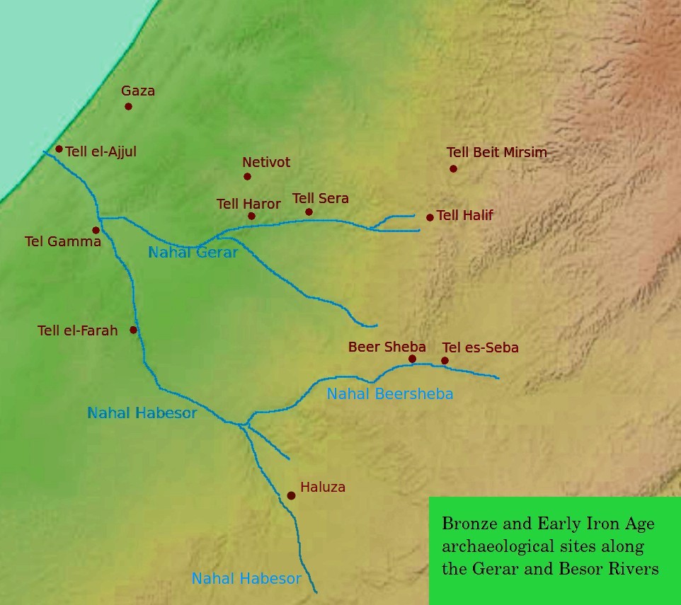
in Israel, on the border between the lowlands of Shfela
The Shephelah or Shfela, lit. "lowlands" ( hbo, הַשְּפֵלָה ''hašŠǝfēlā'', also Modern Hebrew: , ''Šǝfēlat Yəhūda'', the "Judaean foothills"), is a transitional region of soft-sloping rolling hills in south-central Israel str ...
and Mount Hebron
The Hebron Hills, also known as Mount Hebron ( ar, جبل الخليل, translit=Jabal al-Khalīl, he, הר חברון, translit=Har Hevron), are a mountain ridge, geographic region, and geologic formation, comprising the southern part of the J ...
. It is located in the eastern region of Lachish
Lachish ( he, לכיש; grc, Λαχίς; la, Lachis) was an ancient Canaanite and Israelite city in the Shephelah ("lowlands of Judea") region of Israel, on the South bank of the Lakhish River, mentioned several times in the Hebrew Bible. Th ...
about 20 kilometers southwest of Hebron
Hebron ( ar, الخليل or ; he, חֶבְרוֹן ) is a Palestinian. city in the southern West Bank, south of Jerusalem. Nestled in the Judaean Mountains, it lies above sea level. The second-largest city in the West Bank (after East J ...
and about 13 kilometers southeast of Lachish.
Excavations
It was excavated for four seasons (1926, 1928, 1930 and 1932) byWilliam F. Albright
William Foxwell Albright (May 24, 1891– September 19, 1971) was an American archaeologist, biblical scholar, philologist, and expert on ceramics. He is considered "one of the twentieth century's most influential American biblical scholars."
...
.
The excavation revealed 10 or 11 strata dating from the late 3rd millennium BC to around 589 BC. The site is of particular importance for the archeology of Palestine, since the ceramics in the individual layers were observed particularly well and published quickly. This pottery corpus has long been considered the standard for archeology in the region.
:"The strict separation of earth layers, or archaeological sediments, also allowed the strict separation of ceramic assemblages".Herr, Larry G. (2002)"W.F. Albright and the History of Pottery in Palestine".
''Near Eastern Archaeology'' 65.1 (2002), 53.
Town plan
 The site has "a town plan characteristic of the
 Kingdom of Judah
The Kingdom of Judah ( he, , ''Yəhūdā''; akk, 𒅀𒌑𒁕𒀀𒀀 ''Ya'údâ'' 'ia-ú-da-a-a'' arc, 𐤁𐤉𐤕𐤃𐤅𐤃 ''Bēyt Dāwīḏ'', " House of David") was an Israelite kingdom of the Southern Levant during the Iron Age. Ce ...
that is also known from other sites" including, Beit Shemesh
Beit Shemesh ( he, בֵּית שֶׁמֶשׁ ) is a city located approximately west of Jerusalem in Israel's Jerusalem District, with a population of in .
History Tel Beit Shemesh
The small archaeological tell northeast of the modern city wa ...
, Tell en-Nasbeh
Tell en-Nasbeh, likely the biblical city of Mizpah in Benjamin, is a 3.2 hectare (8 acre) tell located on a low plateau northwest of Jerusalem in the West Bank. The site lies adjacent to an ancient roadway connecting Jerusalem with the northern ...
, Khirbet Qeiyafa and Beersheba
Beersheba or Beer Sheva, officially Be'er-Sheva ( he, בְּאֵר שֶׁבַע, ''Bəʾēr Ševaʿ'', ; ar, بئر السبع, Biʾr as-Sabʿ, Well of the Oath or Well of the Seven), is the largest city in the Negev desert of southern Israel. ...
.
:"A casemate wall was built at all of these sites and the city’s houses next to it incorporated the casemates as one of the dwelling’s rooms. This model is not known from any Canaanite, Philistine or Kingdom of Israel site."
Identification of the site
Albright identified the ruin with the biblical cityDvir
Dvir ( he, דְּבִיר), also known as Dvira ( he, דְּבִירָה), is a kibbutz in southern Israel. Located near Rahat and Beersheba, it falls under the jurisdiction of Bnei Shimon Regional Council. In it had a population of .
History
...
(Debir), or Kiryat Sefer by another name.Joshua
Joshua () or Yehoshua ( ''Yəhōšuaʿ'', Tiberian: ''Yŏhōšuaʿ,'' lit. 'Yahweh is salvation') ''Yēšūaʿ''; syr, ܝܫܘܥ ܒܪ ܢܘܢ ''Yəšūʿ bar Nōn''; el, Ἰησοῦς, ar , يُوشَعُ ٱبْنُ نُونٍ '' Yūšaʿ ...
, He hoped to find an ancient archive there. This identification is not currently accepted by the archaeological community. Khirbet Rabud is seen as the more likely location.
References
Bibliography
* (pp279
290
* * * (p
349
* (p
379
External links
*Survey of Western Palestine, Map 20IAA
{{Sites of the Israelite Settlement 1926 archaeological discoveries Archaeological sites in Israel Ruins in Israel Tells (archaeology)