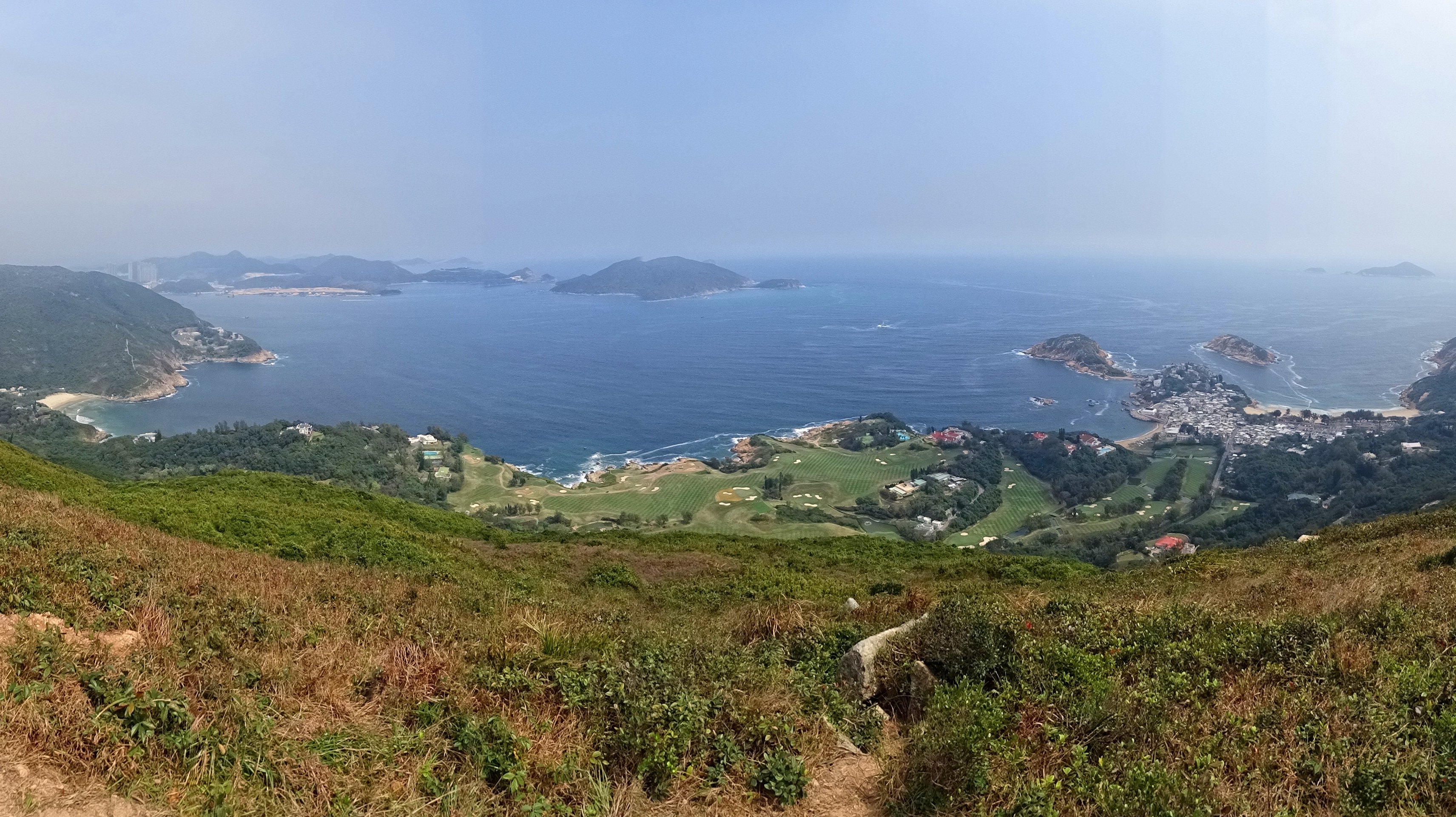
Tathong Channel on:
[Wikipedia]
[Google]
[Amazon]
 Tathong Channel (), also known as Nam Tong Hoi Hap (, originally ), refers to the eastern sea waters in
 Tathong Channel (), also known as Nam Tong Hoi Hap (, originally ), refers to the eastern sea waters in
 Hong Kong
Hong Kong ( (US) or (UK); , ), officially the Hong Kong Special Administrative Region of the People's Republic of China ( abbr. Hong Kong SAR or HKSAR), is a city and special administrative region of China on the eastern Pearl River Delt ...
leading into Victoria Harbour
Victoria Harbour is a natural landform harbour in Hong Kong separating Hong Kong Island in the south from the Kowloon Peninsula to the north. The harbour's deep, sheltered waters and strategic location on South China Sea were instrumental i ...
through Lei Yue Mun
Lei Yue Mun is a short channel in Hong Kong. It lies between Junk Bay and Victoria Harbour, separating Kowloon and Hong Kong Island. The channel is an important passage for the city, forming the eastern entrance of Victoria Harbour.
The lands ...
, bounded by Junk Island ( Fat Tong Chau) and Tung Lung Chau
Tung Lung Chau, previously known as Nam Tong Island or Nam Fat Tong is an island located off the tip of the Clear Water Bay Peninsula in the New Territories of Hong Kong. It is also referred by Hong Kong people as Tung Lung To or Tung Lung Islan ...
in the east, and Hong Kong Island
Hong Kong Island is an Islands and peninsulas of Hong Kong, island in the southern part of Hong Kong. Known colloquially and on road signs simply as Hong Kong, the island has a population of 1,289,500 and its population density is 16,390/km ...
in the west.
References