South Hampshire Lowlands on:
[Wikipedia]
[Google]
[Amazon]
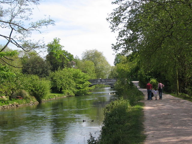
 The South Hampshire Lowlands form a natural landscape in south, central England within the county of Hampshire.
The UK Government's advisors on the natural environment, Natural England, have named the South Hampshire Lowlands as one of their National Character Areas (No. 128). This covers 38,635 hectares of countryside running from Totton and Southampton in the west to Havant in the east. It excludes the coastal strip containing
at www.naturalengland.org.uk. Accessed on 3 Apr 2013. The area consists of low-lying land between the chalk outcrops of the South Downs and Hampshire Downs and the coast of the Solent and English Channel. To the west The highest point within the South Hampshire Lowlands is Portsdown Hill at above sea level. The major settlements of the South Hampshire Lowlands are
 The South Hampshire Lowlands form a natural landscape in south, central England within the county of Hampshire.
The UK Government's advisors on the natural environment, Natural England, have named the South Hampshire Lowlands as one of their National Character Areas (No. 128). This covers 38,635 hectares of countryside running from Totton and Southampton in the west to Havant in the east. It excludes the coastal strip containing
 Fareham
Fareham ( ) is a market town at the north-west tip of Portsmouth Harbour, between the cities of Portsmouth and Southampton in south east Hampshire, England. It gives its name to the Borough of Fareham. It was historically an important manufact ...
and Portsmouth, however.''NCA 128: South Hampshire Lowlands - Key Facts & Data''at www.naturalengland.org.uk. Accessed on 3 Apr 2013. The area consists of low-lying land between the chalk outcrops of the South Downs and Hampshire Downs and the coast of the Solent and English Channel. To the west The highest point within the South Hampshire Lowlands is Portsdown Hill at above sea level. The major settlements of the South Hampshire Lowlands are
Romsey
Romsey ( ) is a historic market town in the county of Hampshire, England. Romsey was home to the 17th-century philosopher and economist William Petty and the 19th-century British prime minister, Lord Palmerston, whose statue has stood in the t ...
, Eastleigh, Bishops Waltham, Havant and, of course, the city of Southampton itself.
References
Geography of Hampshire Natural regions of England {{Hampshire-geo-stub