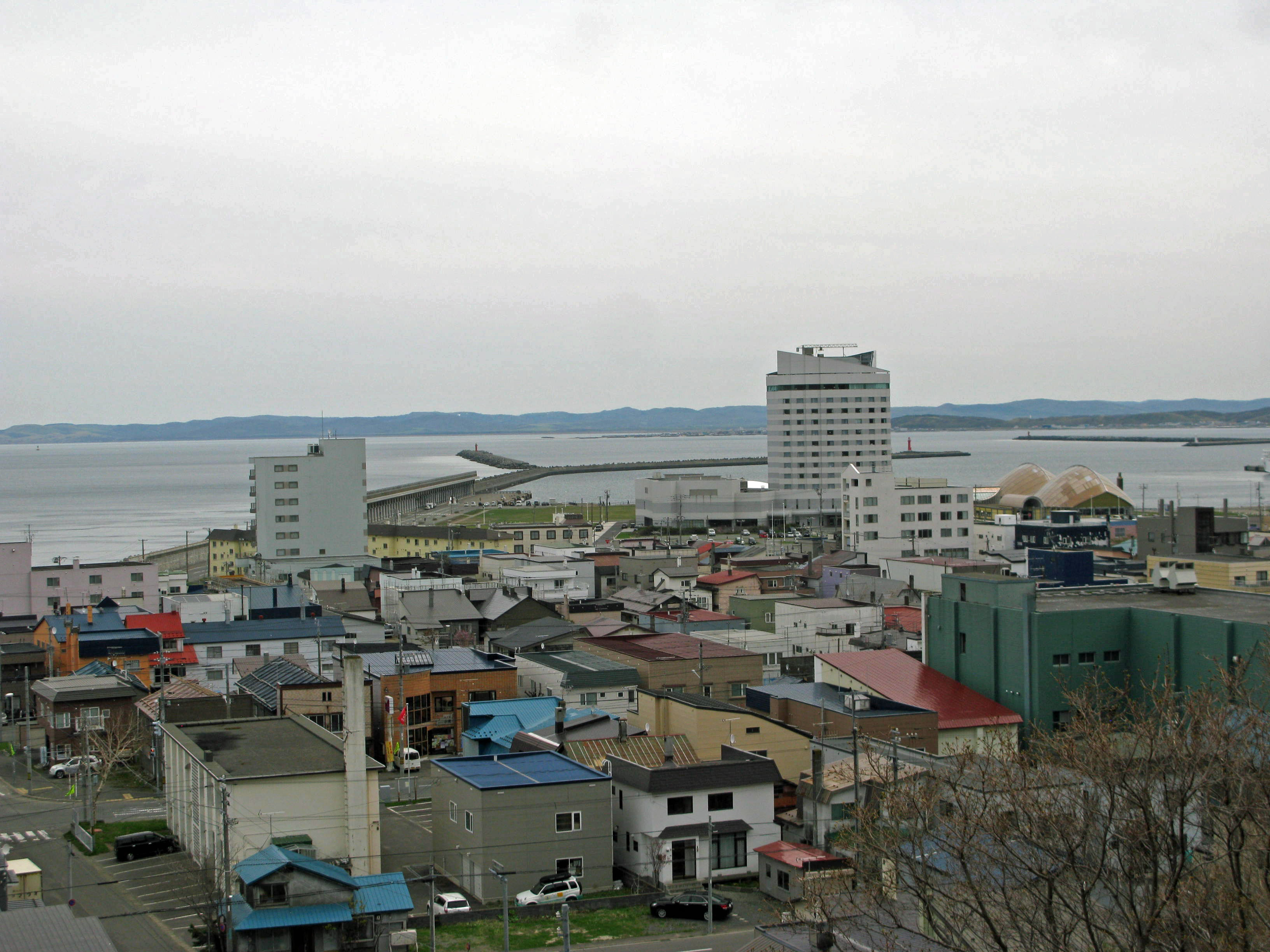
Sōya Subprefecture on:
[Wikipedia]
[Google]
[Amazon]
 is a
is a
Official website
Subprefectures in Hokkaido {{Hokkaido-geo-stub
 is a
is a subprefecture
A subprefecture is an administrative division of a country that is below prefecture or province.
Albania
There are twelve Albanian counties or prefectures, each of which is divided into several districts, sometimes translated as subprefectures. ...
of Hokkaido Prefecture
is Japan, Japan's Japanese archipelago, second largest island and comprises the largest and northernmost Prefectures of Japan, prefecture, making up its own List of regions of Japan, region. The Tsugaru Strait separates Hokkaidō from Honshu; th ...
, Japan. Its population is estimated to be 77,500 as of July 31, 2004 and its area is . It is the northernmost subprefecture
A subprefecture is an administrative division of a country that is below prefecture or province.
Albania
There are twelve Albanian counties or prefectures, each of which is divided into several districts, sometimes translated as subprefectures. ...
of Japan.
Wakkanai Airport is located in Wakkanai
' meaning "cold water river" is a city located in Sōya Subprefecture, Hokkaido, Japan. It is the capital of Sōya Subprefecture. It contains Japan's northernmost point, Cape Sōya, from which the Russian island of Sakhalin can be seen.
As o ...
. Rishiri Airport is located in Rishirifuji, Rishiri District.
Geography
Municipalities
Mergers
History
*1897: Sōya Subprefecture established; Sōya, Esashi, Rishiri, Rebun Districts placed under its jurisdiction *1948: Toyotomi village (now town), Teshio District transferred from Rumoi Subprefecture *2010: Horonobe town, Teshio District transferred from Rumoi SubprefectureExternal links
Official website
Subprefectures in Hokkaido {{Hokkaido-geo-stub