Springbok Flats on:
[Wikipedia]
[Google]
[Amazon]
 The Springbok Flats is an extensive plain situated in
Springbok Flats, Limpopo
{{Coord, 24, 36, S, 29, 05, E, type:landmark_region:ZA, display=title Landforms of South Africa Plains of Africa
 The Springbok Flats is an extensive plain situated in
 Limpopo
Limpopo is the northernmost province of South Africa. It is named after the Limpopo River, which forms the province's western and northern borders. The capital and largest city in the province is Polokwane, while the provincial legislature is ...
, South Africa. The southern boundary is the Pienaars River
The Pienaars River is a river in South Africa. It is a tributary of the Crocodile River. A short section of this river is known as the Moretele River (i.e. approximately 20 km section between Haakdoornbult and the Klipvoor Dam). Tributarie ...
which intersects the N1 main road between Pretoria
Pretoria () is South Africa's administrative capital, serving as the seat of the Executive (government), executive branch of government, and as the host to all foreign embassies to South Africa.
Pretoria straddles the Apies River and extends ...
and Polokwane
Polokwane (, meaning "Sanctuary" in Northern SothoPolokwane - The Heart of the Limpopo Province ...
. To the west it includes the towns of Bela-Bela
Bela-Bela (Tswana language, Tswana/Pedi for "the pot that boils") is a town in the Limpopo Province of South Africa. Deriving its name from the geothermic hot springs around which the town was built, it was called Warmbaths, until 2002.
The tow ...
, Modimolle
Modimolle, also known as Nylstroom, is a town located near the southern edge of the Waterberg Massif in Limpopo province, South Africa. It is a medium-sized town that focuses primarily on agriculture and farming (citrus, grapes and cattle) as well ...
, Mookgophong
Mookgophong, also known as Naboomspruit, is a town in the Limpopo province of South Africa. The town is located approximately 42 km north-east of Modimolle and 51 km south-west of Mokopane.
History
It was founded on the farm Vischgat in ...
and Mokopane
Mokopane, also known as Potgietersrus, is a town in the Limpopo province of South Africa.
The town name was changed to Mokopane in 2003 in honour of a local Ma Nrebele leader, King Mghombane Gheghana , who ruled the area before being conquered ...
. Towards the east it includes the towns Roedtan, Crecy, Marolong, Nutfield, Tuinplaas and Settlers. The 80 km wide and 130 km long swath of land is orientated in a northeasterly direction and is centered on Roedtan
Roedtan is a small town in the Limpopo province, South Africa, set in the midst of the Springbok Flats. Roedtan has a rail road station from Polokwane. At the road junction to Roedtan stands a monument to the battle of Moordrift in 1854 when 33 de ...
.
Subsequent to the Boer War
The Second Boer War ( af, Tweede Vryheidsoorlog, , 11 October 189931 May 1902), also known as the Boer War, the Anglo–Boer War, or the South African War, was a conflict fought between the British Empire and the two Boer Republics (the Sou ...
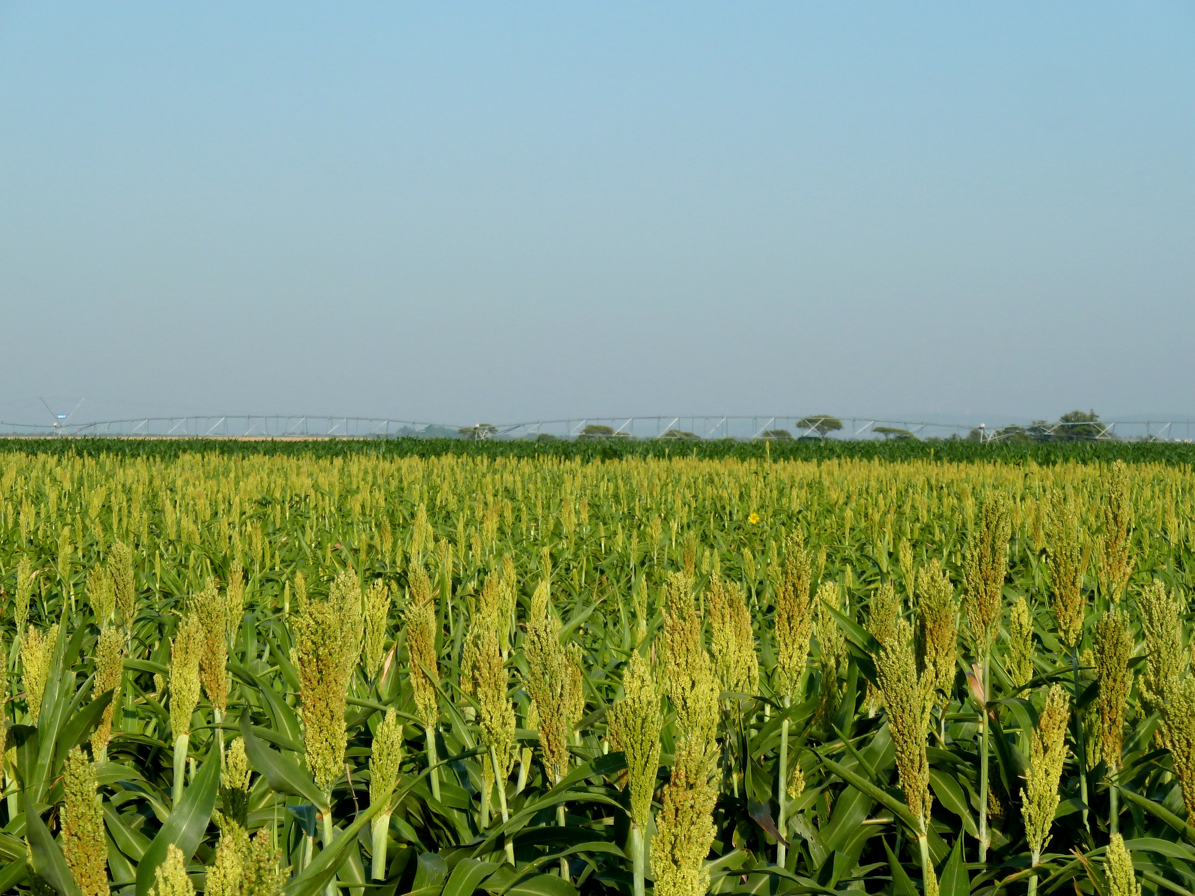
the area became accessible as a farming region. Grasslands made way for crop fields or became covered in acacia scrub. Large areas are currently under crop cultivation, including wheat, maize, cotton, sorghum, peanuts and sunflowers. Irrigated citrus orchards have been established. Several game farms have to some measure reestablished the game diversity that existed here at the end of the 19th century.
The plain which is exceptionally flat and situated at an altitude of 1,000m above sea level, is subject to warm summers (shielded from cold winds by surrounding uplands) and dry winters. An annual rainfall of about 620 mm is the norm. Its vertisol
A vertisol, or vertosol, is a soil type in which there is a high content of expansive clay minerals, many of them known as montmorillonite, that form deep cracks in drier seasons or years. In a phenomenon known as argillipedoturbation, alternat ...
s are considered very fertile.
Coal and uranium reserves are to be found in its sediments.
References
* ''Standard Encyclopaedia of Southern Africa'', volume 10. Cape Town: Nasou, 1974. * www.miningweekly.com, 21 March 2008 and 6 April 2010External links
Springbok Flats, Limpopo
{{Coord, 24, 36, S, 29, 05, E, type:landmark_region:ZA, display=title Landforms of South Africa Plains of Africa