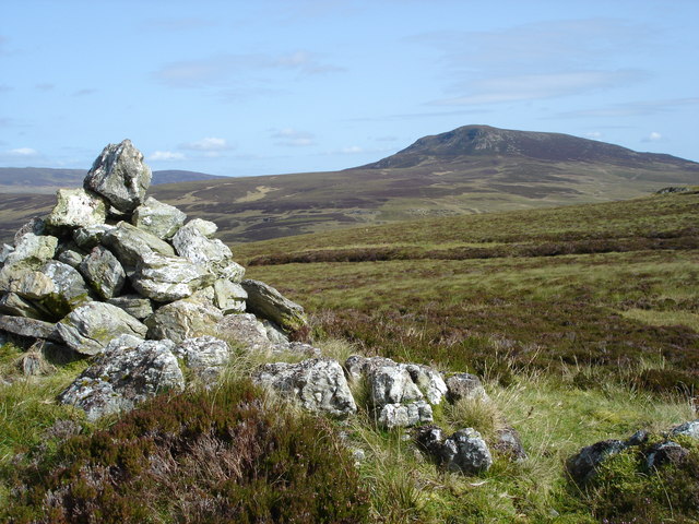
Spot Height on:
[Wikipedia]
[Google]
[Amazon]
 A spot height is an exact point on a
 A spot height is an exact point on a
 map
A map is a symbolic depiction emphasizing relationships between elements of some space, such as objects, regions, or themes.
Many maps are static, fixed to paper or some other durable medium, while others are dynamic or interactive. Although ...
with an elevation
The elevation of a geographic location is its height above or below a fixed reference point, most commonly a reference geoid, a mathematical model of the Earth's sea level as an equipotential gravitational surface (see Geodetic datum § Vert ...
recorded beside it that represents its height above a given datum
In the pursuit of knowledge, data (; ) is a collection of discrete values that convey information, describing quantity, quality, fact, statistics, other basic units of meaning, or simply sequences of symbols that may be further interpreted. ...
.Whittow, John (1984). ''Dictionary of Physical Geography''. London: Penguin, 1984, p. 506. .
In the UK this is the Ordnance Datum
In the British Isles, an ordnance datum or OD is a vertical datum used by an ordnance survey as the basis for deriving altitudes on maps. A spot height may be expressed as AOD for "above ordnance datum". Usually mean sea level (MSL) is used fo ...
. Unlike a bench-mark, which is marked by a disc or plate, there is no official indication of a spot height on the ground although, in open country, spot heights may sometimes be marked by cairn
A cairn is a man-made pile (or stack) of stones raised for a purpose, usually as a marker or as a burial mound. The word ''cairn'' comes from the gd, càrn (plural ).
Cairns have been and are used for a broad variety of purposes. In prehis ...
s. In geoscience
Earth science or geoscience includes all fields of natural science related to the planet Earth. This is a branch of science dealing with the physical, chemical, and biological complex constitutions and synergistic linkages of Earth's four spheres ...
, it can be used for showing elevations on a map, alongside contours
Contour may refer to:
* Contour (linguistics), a phonetic sound
* Pitch contour
* Contour (camera system), a 3D digital camera system
* Contour, the KDE Plasma 4 interface for tablet devices
* Contour line, a curve along which the function has a ...
, bench marks, etc.
See also
*Surveying
Surveying or land surveying is the technique, profession, art, and science of determining the terrestrial two-dimensional or three-dimensional positions of points and the distances and angles between them. A land surveying professional is ca ...
* Benchmark (surveying)
The term benchmark, bench mark, or survey benchmark originates from the chiseled horizontal marks that surveyors made in stone structures, into which an angle-iron could be placed to form a "bench" for a leveling rod, thus ensuring that a le ...
* Triangulation station
A triangulation station, also known as a trigonometrical point, and sometimes informally as a trig, is a fixed surveying station, used in geodetic surveying and other surveying projects in its vicinity. The nomenclature varies regionally: they a ...
References
Cartography Geodesy Surveying Vertical position {{geodesy-stub