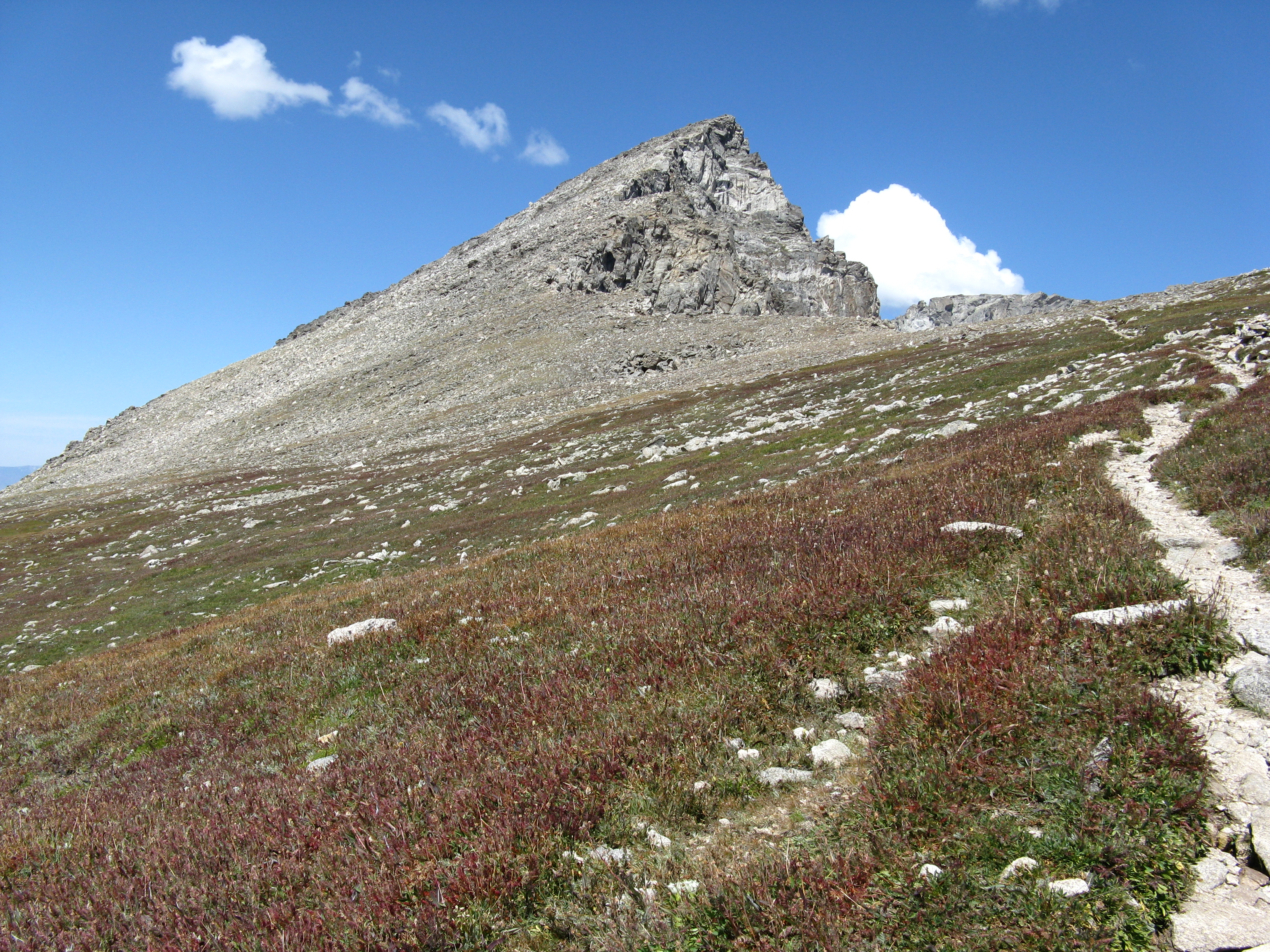
South Arapaho Peak on:
[Wikipedia]
[Google]
[Amazon]
South Arapaho Peak is in the

Indian Peaks Wilderness
The Indian Peaks Wilderness is a wilderness area in north central Colorado managed jointly by the United States Forest Service and the National Park Service within the Arapaho and Roosevelt National Forests and small parts of the southern sectio ...
in the northern Front Range
The Front Range is a mountain range of the Southern Rocky Mountains of North America located in the central portion of the U.S. State of Colorado, and southeastern portion of the U.S. State of Wyoming. It is the first mountain range encountere ...
of the Rocky Mountains
The Rocky Mountains, also known as the Rockies, are a major mountain range and the largest mountain system in North America. The Rocky Mountains stretch in straight-line distance from the northernmost part of western Canada, to New Mexico in ...
of North America
North America is a continent in the Northern Hemisphere and almost entirely within the Western Hemisphere. It is bordered to the north by the Arctic Ocean, to the east by the Atlantic Ocean, to the southeast by South America and the Car ...
. The thirteener
In mountaineering in the United States, a thirteener (abbreviated 13er) is a mountain that exceeds above mean sea level, similar to the more familiar "fourteeners," which exceed . In most instances, "thirteeners" refers only to those peaks betwe ...
is located west-southwest of the Town of Ward, Colorado
Colorado (, other variants) is a state in the Mountain West subregion of the Western United States. It encompasses most of the Southern Rocky Mountains, as well as the northeastern portion of the Colorado Plateau and the western edge of t ...
, United States
The United States of America (U.S.A. or USA), commonly known as the United States (U.S. or US) or America, is a country primarily located in North America. It consists of 50 states, a federal district, five major unincorporated territorie ...
, just east of the Continental Divide
A continental divide is a drainage divide on a continent such that the drainage basin on one side of the divide feeds into one ocean or sea, and the basin on the other side either feeds into a different ocean or sea, or else is endorheic, not ...
separating Roosevelt National Forest
The Roosevelt National Forest is a National Forest located in north central Colorado. It is contiguous with the Colorado State Forest as well as the Arapaho National Forest and the Routt National Forest. The forest is administered jointly with ...
and Boulder County
Boulder County is a county located in the U.S. state of Colorado of the United States. As of the 2020 census, the population was 330,758. The most populous municipality in the county and the county seat is Boulder.
Boulder County comprises th ...
from Arapaho National Forest
Arapaho National Forest is a National Forest located in north-central Colorado, United States. The region is managed jointly with the Roosevelt National Forest and the Pawnee National Grassland from the United States Forest Service office in ...
and Grand County.
Between South Arapaho Peak and neighboring North Arapaho Peak
North Arapaho Peak is the highest summit of the Indian Peaks in the northern Front Range of the Rocky Mountains of North America. The thirteener is located in the Indian Peaks Wilderness, west-southwest ( bearing 245°) of the Town of Ward ...
sits Arapaho Glacier
Arapaho Glacier is an alpine glacier in a cirque immediately southeast of North Arapaho Peak, in Roosevelt National Forest in the U.S. state of Colorado. The glacier is just east of the Continental Divide. Arapaho Glacier is the largest glacier i ...
, which is owned by the City of Boulder as part of its water supply. North and South Arapahoe Peaks are connected by a 0.8 mile, Class 4 connecting ridge. West of these peaks is Arapaho Pass.
Climate

See also
*North Arapaho Peak
North Arapaho Peak is the highest summit of the Indian Peaks in the northern Front Range of the Rocky Mountains of North America. The thirteener is located in the Indian Peaks Wilderness, west-southwest ( bearing 245°) of the Town of Ward ...
* Arapaho Pass (Front Range)
References
Mountains of Colorado North American 4000 m summits Great Divide of North America Roosevelt National Forest Arapaho National Forest Mountains of Grand County, Colorado Mountains of Boulder County, Colorado {{Colorado-geo-stub