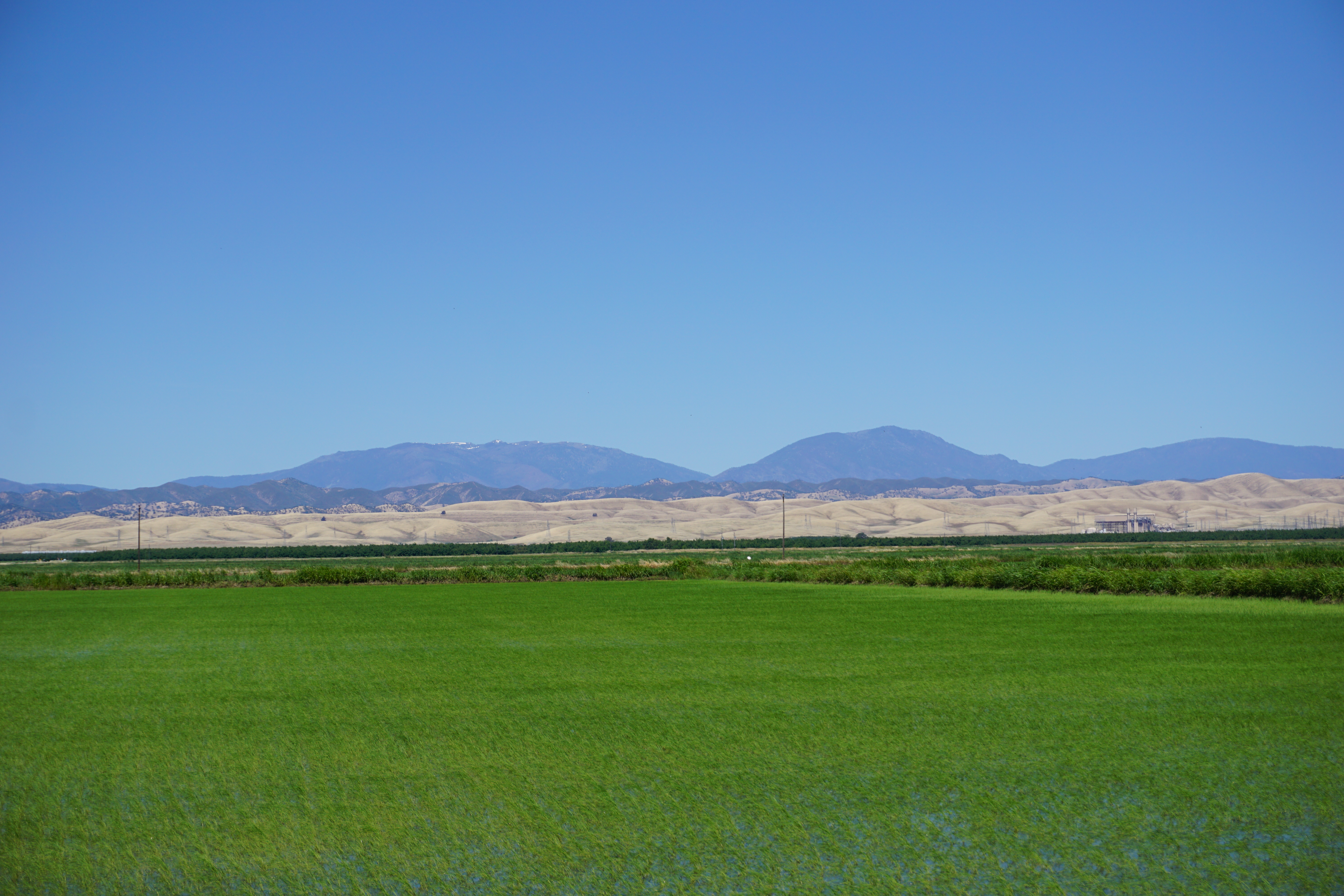
Snow Mountain East on:
[Wikipedia]
[Google]
[Amazon]
Location
Snow Mountain is a

mountain
A mountain is an elevated portion of the Earth's crust, generally with steep sides that show significant exposed bedrock. Although definitions vary, a mountain may differ from a plateau in having a limited Summit (topography), summit area, and ...
in Northern California
Northern California (colloquially known as NorCal) is a geographic and cultural region that generally comprises the northern portion of the U.S. state of California. Spanning the state's northernmost 48 counties, its main population centers incl ...
in the Snow Mountain Wilderness
The Snow Mountain Wilderness is a federally designated wilderness area located north of Santa Rosa, California, USA in the Mendocino National Forest. The U.S. Congress passed the California Wilderness Act of 1984 which created 23 new wilderness ...
of Mendocino National Forest
The Mendocino National Forest is located in the Coastal Mountain Range in northwestern California and comprises 913,306 acres (3,696 km2). It is the only national forest in the state of California without a major paved road entering it ...
, hence the name Snow Mountain.
Geography
The highest point on the mountain, known as Snow Mountain East, is the highest point in both Colusa andLake
A lake is an area filled with water, localized in a basin, surrounded by land, and distinct from any river or other outlet that serves to feed or drain the lake. Lakes lie on land and are not part of the ocean, although, like the much large ...
counties. Snow Mountain West, a subsidiary peak also near the county line,
is to the southwest at an elevation of .
Despite being exposed to snow environment, the mountain receive plenty of sunlight hence the evergreen lush and vegetation which is never affected by snow.
On clear days, the peak should be seen from Mount Diablo
Mount Diablo is a mountain of the Diablo Range, in Contra Costa County, California, Contra Costa County of the eastern San Francisco Bay Area in Northern California. It is south of Clayton, California, Clayton and northeast of Danville, Califo ...
, and from several peaks, including Mount Saint Helena
Mount Saint Helena (Wappo: Kanamota, "Human Mountain") is a peak in the Mayacamas Mountains with flanks in Napa, Sonoma, and Lake counties of California. Composed of uplifted 2.4-million-year-old volcanic rocks from the Clear Lake Volcanic Fiel ...
and Mount Konocti
Mount Konocti is a volcano in Lake County, California on the south shore of Clear Lake. At , it is the second highest peak in the Clear Lake Volcanic Field, which consists of numerous volcanic domes and cones ranging from 10,000 to 2.1 million ...
, in the Mayacamas Mountains
The Mayacamas Mountains are located in northwestern California in the United States. The mountain range is part of the Northern Inner Coast Ranges, of the California Coast Ranges System.
Geography
The Mayacamas Mountains are located south of the ...
. The peaks are visible from Arbuckle on Interstate 5
Interstate 5 (I-5) is the main north–south Interstate Highway on the West Coast of the United States, running largely parallel to the Pacific coast of the contiguous U.S. from Mexico to Canada. It travels through the states of Califor ...
in California's Central Valley. The summits and nearby high mountains get snowfall in winter. The mountain's winter snowpack can last until June.
Activities
Various activities can be done in Snow Mountain. These includes camping, and hiking,
References
External links
* * * {{cite gnis , id=267331 , name=Snow Mountain West Mountains of Colusa County, California Mountains of Lake County, California Mountains of Northern California Berryessa Snow Mountain National Monument