Shropshire Way on:
[Wikipedia]
[Google]
[Amazon]
The Shropshire Way Main Route is a waymarked long distance footpath running through the English county of 

Detailed Shropshire Way route information on the Shropshire Way Association's websiteDetailed route information, including the old routes, on the Shropshire's Great Outdoors websitePhotos along or close to the Shropshire Way from geograph.org.ukLong Distance Walkers AssociationRamblers Association
Footpaths in Shropshire Long-distance footpaths in England County-themed walking routes in the United Kingdom
Shropshire
Shropshire (; alternatively Salop; abbreviated in print only as Shrops; demonym Salopian ) is a landlocked historic county in the West Midlands region of England. It is bordered by Wales to the west and the English counties of Cheshire to th ...
. It runs around the interior of the county in two loops centred on Shrewsbury
Shrewsbury ( , also ) is a market town, civil parish, and the county town of Shropshire, England, on the River Severn, north-west of London; at the 2021 census, it had a population of 76,782. The town's name can be pronounced as either 'Sh ...
, with an additional spur to Whitchurch.

The Main Route
The Main Route South was launched in 2017. It is divided into Stages 1 to 9, 10a and 10b. The Main Route North was launched in September 2019; this has stages 11 to 15 (stage 12 includes the Whitchurch spur as an alternative ending). This is fully documented in the website of the Shropshire Way Association.Old waymarked route
The route when marked on a map of the county used to loosely resemble a 'hangman's noose
The hangman's knot or hangman's noose (also known as a collar during the Elizabethan era) is a knot most often associated with its use in hanging a person. For a hanging, the knot of the rope is typically placed under or just behind the left ...
' with the rope dangling from the northern border of Shropshire at Grindley Brook
Grindley Brook is a small village in Shropshire, England, on the A41 trunk road around 1.5 miles north west of the market town of Whitchurch. It is the most northerly settlement in Shropshire and borders directly onto Cheshire, and is within t ...
. The route then runs south to Wem and then to Clive and Grinshill
Grinshill is a small village, and civil parish in Shropshire, England, United Kingdom. The parish is one of the smallest in the district. The population of the civil parish at the 2011 census was 274. Grinshill Hill rises above the village to a ...
where the circular loop begins, taking you to Shrewsbury
Shrewsbury ( , also ) is a market town, civil parish, and the county town of Shropshire, England, on the River Severn, north-west of London; at the 2021 census, it had a population of 76,782. The town's name can be pronounced as either 'Sh ...
, then via Lyth Hill further south into the Shropshire Hills
The Shropshire Hills are a dissected upland area and one of the natural regions of England. They lie wholly within the county of Shropshire and encompass several distinctive and well-known landmarks, such as the Long Mynd, Wenlock Edge, The W ...
.
Old additional loop
In the Shropshire HillsArea of Outstanding Natural Beauty
An Area of Outstanding Natural Beauty (AONB; , AHNE) is an area of countryside in England, Wales, and Northern Ireland, that has been designated for conservation due to its significant landscape value. Areas are designated in recognition of thei ...
an additional loop on the route runs to Stiperstones, Bishops Castle
Bishop's Castle is a market town in the south west of Shropshire, England. According to the 2011 Census it had a population of 1,893.
Bishop's Castle is east of the Wales-England border, about north-west of Ludlow and about south-west of ...
and Clun linking back to the main route via the River Onny
The River Onny is a river in Shropshire, England. It is a major tributary of the River Teme.
Etymology
The river's name derives from Welsh and means the river on which ash trees (Welsh: ''onnau'') grew.
Course
The river has its sources in th ...
at Little Stretton and the Long Mynd
, photo =
, photo_alt =
, photo_caption = View down Townbrook Valley toward Burway Hill
, country_type =
, country = England
, subdivision1_type = County
, subdivision1 = Shropshire
, border ...
.
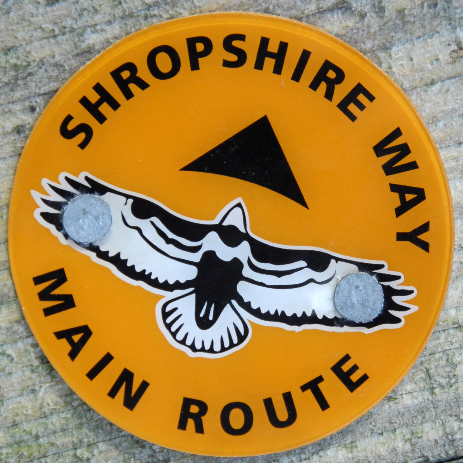
Old buzzard waymark
The old path was distinctly waymarked with abuzzard
Buzzard is the common name of several species of birds of prey.
''Buteo'' species
* Archer's buzzard (''Buteo archeri'')
* Augur buzzard (''Buteo augur'')
* Broad-winged hawk (''Buteo platypterus'')
* Common buzzard (''Buteo buteo'')
* Eastern ...
symbol in black and white usually easily seen from field edges and across most country.
Old improvements
The southern section of the Shropshire Way underwent a major refurbishment in 2007/2008. Extra sections have been added to make it circular in its own right and some original routes have been "tweaked" so they now go to more places of interest. This led to confusion, hence the 2017 to 2019 re-waymarking.References
{{reflistExternal links
Detailed Shropshire Way route information on the Shropshire Way Association's website
Footpaths in Shropshire Long-distance footpaths in England County-themed walking routes in the United Kingdom