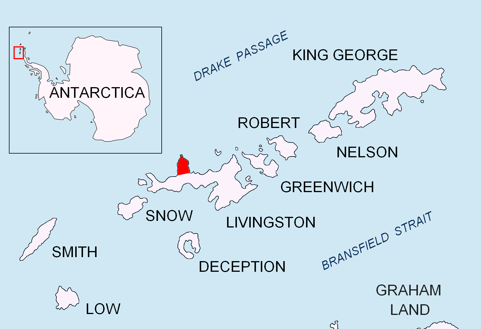
Shirreff Cove on:
[Wikipedia]
[Google]
[Amazon]


 Shirreff Cove () is a small cove or anchorage, situated immediately southwest of
Chart of South Shetland including Coronation Island, &c.
from the exploration of the sloop Dove in the years 1821 and 1822 by George Powell Commander of the same. Scale ca. 1:200000. London: Laurie, 1822. * L.L. Ivanov et al. Antarctica: Livingston Island and Greenwich Island, South Shetland Islands. Scale 1:100000 topographic map. Sofia: Antarctic Place-names Commission of Bulgaria, 2005. * L.L. Ivanov
Antarctica: Livingston Island and Greenwich, Robert, Snow and Smith Islands
Scale 1:120000 topographic map. Troyan: Manfred Wörner Foundation, 2009.
Protected area Cape Shirreff.
Management Plan and Map.
Shirreff Cove.
SCAR

 Shirreff Cove () is a small cove or anchorage, situated immediately southwest of
 Cape Shirreff
Cape Shirreff is a prominent cape at the north end of the rocky peninsula which separates Hero Bay and Barclay Bay on the north coast of Livingston Island, in the South Shetland Islands of Antarctica. The cape was named by Edward Bransfield in ...
between San Telmo Island
San Telmo Island (a.k.a. Telmo Island) is an island forming the west side of Shirreff Cove on the north-west coast of Ioannes Paulus II Peninsula, Livingston Island in the South Shetland Islands of Antarctica. It has a surface area of .L.L. Iv ...
and Gerlovo Beach
Gerlovo Beach ( bg, Герловски бряг, Gerlovski bryag, ) is a beach extending 2 km on the northwest coast of Ioannes Paulus II Peninsula on Livingston Island in the South Shetland Islands, Antarctica. It stretches both south and no ...
on the northwest side of Ioannes Paulus II Peninsula
Ioannes Paulus II Peninsula ( bg, Полуостров Йоан Павел II, Poluostrov Yoan Pavel II, ) is an ice-covered peninsula on the north coast of Livingston Island in the South Shetland Islands, Antarctica that is bounded by Hero Bay t ...
, Livingston Island
Livingston Island (Russian name ''Smolensk'', ) is an Antarctic island in the Southern Ocean, part of the South Shetlands Archipelago, a group of Antarctic islands north of the Antarctic Peninsula. It was the first land discovered south of 60 ...
in the South Shetland Islands
The South Shetland Islands are a group of Antarctic islands with a total area of . They lie about north of the Antarctic Peninsula, and between southwest of the nearest point of the South Orkney Islands. By the Antarctic Treaty of 195 ...
, Antarctica
Antarctica () is Earth's southernmost and least-populated continent. Situated almost entirely south of the Antarctic Circle and surrounded by the Southern Ocean, it contains the geographic South Pole. Antarctica is the fifth-largest contine ...
.
Edward Bransfield
Edward Bransfield (c. 1785 – 31 October 1852) was an Irish sailor who became an officer in the British Royal Navy, serving as a master on several ships, after being impressed into service in Ireland at the age of 18. He is noted for his par ...
, Master, Royal Navy
The Royal Navy (RN) is the United Kingdom's naval warfare force. Although warships were used by English and Scottish kings from the early medieval period, the first major maritime engagements were fought in the Hundred Years' War against F ...
, named a cove in this vicinity for Captain William H. Shirreff, British commanding officer in the Pacific in 1820. Present application of the name is based upon the location shown on Captain George Powell's map, published by Laurie in 1822.
Maps
Chart of South Shetland including Coronation Island, &c.
from the exploration of the sloop Dove in the years 1821 and 1822 by George Powell Commander of the same. Scale ca. 1:200000. London: Laurie, 1822. * L.L. Ivanov et al. Antarctica: Livingston Island and Greenwich Island, South Shetland Islands. Scale 1:100000 topographic map. Sofia: Antarctic Place-names Commission of Bulgaria, 2005. * L.L. Ivanov
Antarctica: Livingston Island and Greenwich, Robert, Snow and Smith Islands
Scale 1:120000 topographic map. Troyan: Manfred Wörner Foundation, 2009.
Protected area Cape Shirreff.
Management Plan and Map.
References
Shirreff Cove.
SCAR
Composite Antarctic Gazetteer
The Composite Gazetteer of Antarctica (CGA) of the Scientific Committee on Antarctic Research (SCAR) is the authoritative international gazetteer containing all Antarctic toponyms published in national gazetteers, plus basic information about t ...
Coves of Antarctica
{{LivingstonIsland-geo-stub