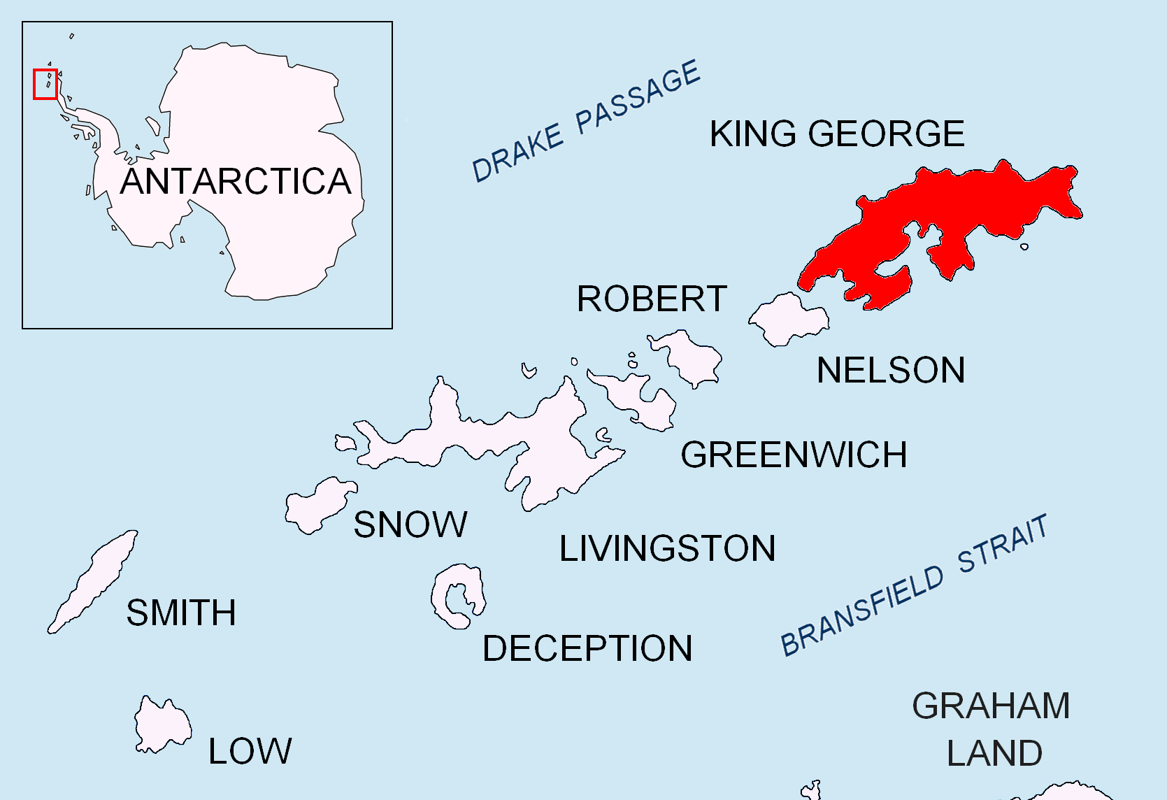
Sherratt Bay on:
[Wikipedia]
[Google]
[Amazon]
 Sherratt Bay is a
SCAR Composite Antarctic Gazetteer
Bays of King George Island (South Shetland Islands) {{KingGeorgeIslandAQ-geo-stub
 Sherratt Bay is a
 bay
A bay is a recessed, coastal body of water that directly connects to a larger main body of water, such as an ocean, a lake, or another bay. A large bay is usually called a Gulf (geography), gulf, sea, sound (geography), sound, or bight (geogra ...
between Cape Melville and Penguin Island on the south side of King George Island, in the South Shetland Islands
The South Shetland Islands are a group of Antarctic islands with a total area of . They lie about north of the Antarctic Peninsula, and between southwest of the nearest point of the South Orkney Islands. By the Antarctic Treaty of 195 ...
. The existence of the bay was known and roughly charted by sealers working in the area in the early 1820s. It was named by the United Kingdom Antarctic Place-Names Committee
The UK Antarctic Place-Names Committee (or UK-APC) is a United Kingdom government committee, part of the Foreign and Commonwealth Office, responsible for recommending names of geographical locations within the British Antarctic Territory (BAT) and ...
(UK-APC) in 1960 for Richard Sherratt, Master of the Lady Trowbridge from Liverpool
Liverpool is a city and metropolitan borough in Merseyside, England. With a population of in 2019, it is the 10th largest English district by population and its metropolitan area is the fifth largest in the United Kingdom, with a popul ...
which was wrecked off Cape Melville on December 25, 1820. Sherratt occupied his time until rescued by making an inaccurate but historically interesting map of the South Shetland Islands.
References
SCAR Composite Antarctic Gazetteer
Bays of King George Island (South Shetland Islands) {{KingGeorgeIslandAQ-geo-stub