Shanmaghery on:
[Wikipedia]
[Google]
[Amazon]
 Shanmaghery or Shanmaghry () is a small hamlet and
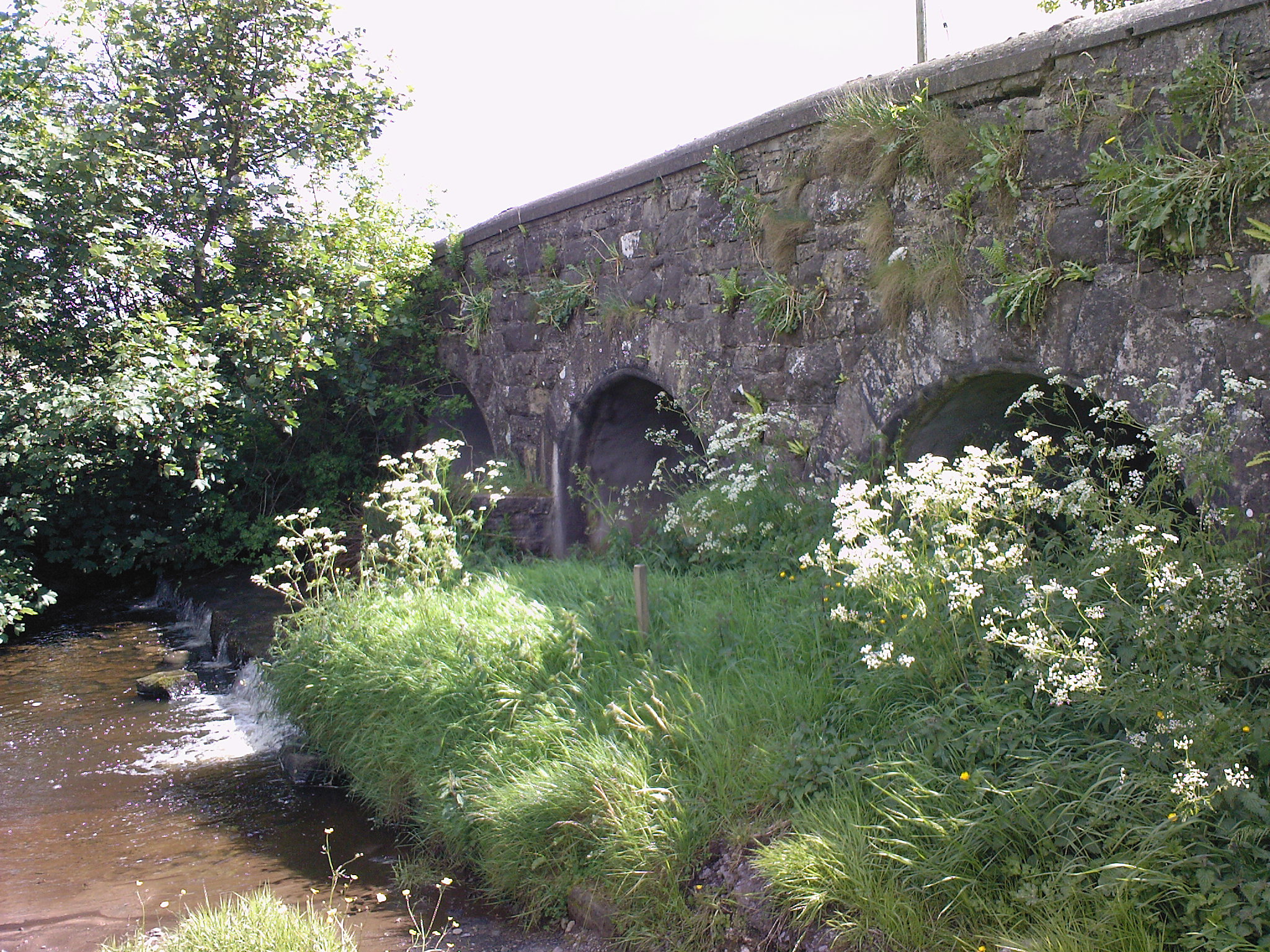
 Gortavoy Bridge is a modern residential area located on the B43 road that links Pomeroy to Donaghmore. The local homesteads of Corrycroar and Coolmaghry are nearby. It takes its name from the local bridge. At the rear of Gortavoy Bridge the now dismantled railway line to Pomeroy is situated. A number of bridges in the area are still in use to provide access to local areas.
Shee-Eire - Shanmaghry Court Tomb Info & Gallery
{{authority control Villages in County Tyrone Townlands of County Tyrone Archaeological sites in County Tyrone
 Shanmaghery or Shanmaghry () is a small hamlet and
 townland
A townland ( ga, baile fearainn; Ulster-Scots: ''toonlann'') is a small geographical division of land, historically and currently used in Ireland and in the Western Isles in Scotland, typically covering . The townland system is of Gaelic origi ...
in County Tyrone
County Tyrone (; ) is one of the six Counties of Northern Ireland, counties of Northern Ireland, one of the nine counties of Ulster and one of the thirty-two traditional Counties of Ireland, counties of Ireland. It is no longer used as an admini ...
, Northern Ireland
Northern Ireland ( ga, Tuaisceart Éireann ; sco, label= Ulster-Scots, Norlin Airlann) is a part of the United Kingdom, situated in the north-east of the island of Ireland, that is variously described as a country, province or region. Nort ...
, situated three miles from Pomeroy and three miles from Galbally. It is situated in the barony Barony may refer to:
* Barony, the peerage, office of, or territory held by a baron
* Barony, the title and land held in fealty by a feudal baron
* Barony (county division), a type of administrative or geographical division in parts of the British ...
of Dungannon Middle
Dungannon Middle (named after Dungannon town) is a barony in County Tyrone, Northern Ireland. It was created in 1851 with the splitting of the barony of Dungannon. It is bordered by Lough Neagh to the east and six other baronies: Dungannon Upper ...
and the civil parish
In England, a civil parish is a type of administrative parish used for local government. It is a territorial designation which is the lowest tier of local government below districts and counties, or their combined form, the unitary authority ...
of Pomeroy and covers an area of 426 acres. In 1841 the population of the townland was 193 people (33 houses) and in 1851 it was 161 people (27 houses). "Paul's Planting" was a notable landmark on top of the hill.
Local interest
The townland contains one Scheduled Historic Monument: awedge tomb
A gallery grave is a form of megalithic tomb built primarily during the Neolithic Age in Europe in which the main gallery of the tomb is entered without first passing through an antechamber or hallway. There are at least four major types of galler ...
(grid ref: H7065 6850). The stones forming the ante-chamber and burial chamber can be seen, but none of the roof lintels have survived. There is substantial cairn material and the burial chamber is filled with rubble.
Gortavoy Bridge
 Gortavoy Bridge is a modern residential area located on the B43 road that links Pomeroy to Donaghmore. The local homesteads of Corrycroar and Coolmaghry are nearby. It takes its name from the local bridge. At the rear of Gortavoy Bridge the now dismantled railway line to Pomeroy is situated. A number of bridges in the area are still in use to provide access to local areas.
See also
*List of townlands of County Tyrone
This is a sortable table of the approximately 2,162 townlands in County Tyrone, Northern Ireland.Irish Placenames Database
Retrie ...
*Retrie ...
List of archaeological sites in County Tyrone
List of archaeological sites in County Tyrone, Northern Ireland:
__NOTOC__
A
* Aghafad, Rath, grid ref: H4603 5800
* Aghagogan, Wedge tomb, grid ref: H6391 7360 and standing stone, grid ref: H6398 7351
* Aghalane, Standing stone, stone circl ...
*List of villages in Northern Ireland
This is an alphabetical list of towns and villages in Northern Ireland. For a list sorted by population, see the list of settlements in Northern Ireland by population. The towns of Armagh, Lisburn and Newry are also classed as cities (see city stat ...
References
External links
Shee-Eire - Shanmaghry Court Tomb Info & Gallery
{{authority control Villages in County Tyrone Townlands of County Tyrone Archaeological sites in County Tyrone