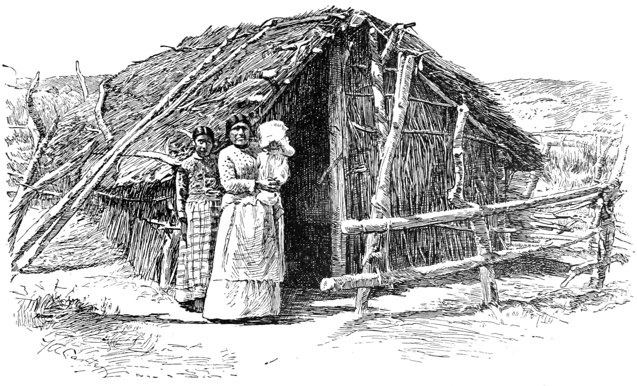
Saahatpa on:
[Wikipedia]
[Google]
[Amazon]

 Saahatpa was a former

 Saahatpa was a former
 Cahuilla
The Cahuilla , also known as ʔívil̃uqaletem or Ivilyuqaletem, are a Native American people of the various tribes of the Cahuilla Nation, living in the inland areas of southern California.Riverside County. It was a settlement of Juan Antonio's Mountain Cahuilla from 1851 to 1863. It was located in a valley that branched to the northeast from
San Timoteo Canyon
San Timoteo Canyon is a river valley canyon southeast of Redlands, in the far northwestern foothills of the San Jacinto Mountains in the Inland Empire region of Southern California.
Geography
The canyon runs from its southern inflow mouth in Bea ...
. The site is marked by California Historical Landmark
A California Historical Landmark (CHL) is a building, structure, site, or place in California that has been determined to have statewide historical landmark significance.
Criteria
Historical significance is determined by meeting at least one of ...
#749, and is located at the abandoned Brookside Rest Area on westbound Interstate 10
Interstate 10 (I-10) is the southernmost cross-country highway in the American Interstate Highway System. I-10 is the fourth-longest Interstate in the United States at , following I-90, I-80, and I-40. This freeway is part of the originally pl ...
in modern-day Calimesa, California, nearly 3 miles northwest of the I-10/SR 60 junction.
History
Juan Antonio's Mountain Cahuilla were settled in Politana in 1845, to protect the herds of horses and cattle of theRancho San Bernardino
Rancho San Bernardino was a Mexican land grant in present-day San Bernardino County, California given in 1842 by Governor Juan B. Alvarado to José del Carmen Lugo, José María Lugo, Vicente Lugo, and Diego Sepulveda. The grant included a larg ...
from the raids of bandits and the native tribes from the nearby mountains, the Mojave Desert
The Mojave Desert ( ; mov, Hayikwiir Mat'aar; es, Desierto de Mojave) is a desert in the rain shadow of the Sierra Nevada mountains in the Southwestern United States. It is named for the indigenous Mojave people. It is located primarily in ...
and Utah
Utah ( , ) is a state in the Mountain West subregion of the Western United States. Utah is a landlocked U.S. state bordered to its east by Colorado, to its northeast by Wyoming, to its north by Idaho, to its south by Arizona, and to it ...
. They remained there until 1851 when the Rancho was attacked by the Irving Gang, a band of Americans, claiming to avenge the killing of three Americans in the Cajon Pass, by two men of the Lugo family. As they had done many times before against other bandits, under the authority of the local justice of the peace, Juan Antonio and his men chased all but one of the gang into San Timoteo Canyon, cornered them in a box canyon, surrounded and killed them with arrows.
Word of the incident was mistakenly seen by many of the local Americans as an Indian uprising against them. A militia force from San Diego County was sent to quell this supposed uprising, led by Joshua Bean. Judge Hayes
Hayes may refer to:
* Hayes (surname), including a list of people with the name
** Rutherford B. Hayes, 19th president of the United States
* Hayes (given name)
Businesses
* Hayes Brake, an American designer and manufacturer of disc brakes
* Ha ...
held a hearing and subsequently found their actions had legal justification. However the resentment of local Americans at the killing of fellow Americans led Juan Antonio to move his people away from white settlements in the valley to Saahatpa.
There Juan Antonio and his people remained until the winter of 1862–1863, when a smallpox epidemic swept through Southern California killing many, especially the Native American population who had little immunity to the disease. The victims included Juan Antonio and many of his Cahuilla people, reducing their numbers so they were reduced from a majority to a minority in their own land. After this disaster, Juan Antonio was buried there and Saahatpa was abandoned.
In 1956 an archeological expedition discovered Juan Antonio's body at Saahatpa, identified by his epaulets. He was reburied with military honors.
Marker
Marker on the site reads: *''NO. 749 SAAHATPA - Chief Juan Antonio and his band of Cahuilla Indians helped white settlers in the San Bernardino area defend their property and livestock against outlaws during the 1840s and 1850s. In late 1851, Juan Antonio, his warriors and their families, settled at nearby Saahatpa. During the winter of 1862-63, a smallpox epidemic swept through Southern California killing many Native Americans, including Juan Antonio. Cahuilla tradition asserts that the U.S. Government sent Army blankets that were contaminated with smallpox. After this disaster, Saahatpa was abandoned.'' The marker has been inaccessible since about 2005. The Brookside Rest Area, where the marker is located, was closed because the well that had provided a water source ran dry and thewater table
The water table is the upper surface of the zone of saturation. The zone of saturation is where the pores and fractures of the ground are saturated with water. It can also be simply explained as the depth below which the ground is saturated.
T ...
became inadequate due to a long-running drought. Budget problems several years later contributed to the problem of finding a new water source; in addition, the area has become urbanized since the rest area was built, making its necessity questionable.
See also
* California Historical Landmarks in Riverside County, CaliforniaReferences
{{Riverside County, California California Historical Landmarks Former settlements in Riverside County, California 1851 establishments in California