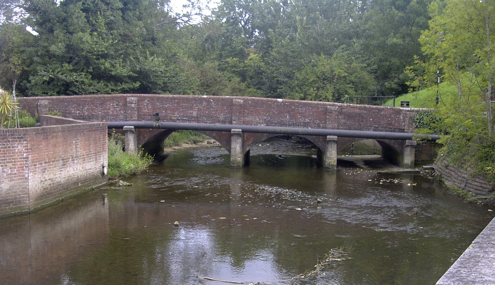
River Wallington on:
[Wikipedia]
[Google]
[Amazon]
 The River Wallington curves and gently meanders west then south in south-east
 The River Wallington curves and gently meanders west then south in south-east
 Hampshire
Hampshire (, ; abbreviated to Hants) is a ceremonial county, ceremonial and non-metropolitan county, non-metropolitan counties of England, county in western South East England on the coast of the English Channel. Home to two major English citi ...
. Rising at sources to north and south of Waterlooville
Waterlooville is a market town in the Borough of Havant in Hampshire, England, approximately north northeast of Portsmouth. It is the largest town in the borough.
The town has a population of about 64,350 and is surrounded by Purbrook, Blendwort ...
these flow west around Portsdown Hill
Portsdown Hill is a long chalk ridge in Hampshire, England. The highest point of the hill lies within Fort Southwick at 131m above sea level. The ridge offers good views to the south over Portsmouth, the Solent, Hayling Island and Gosport, with ...
into a dammed section as the lake in the grounds of Southwick House
Southwick House is a Grade II listed 19th-century manor house of the Southwick Estate in Hampshire, England, about north of Portsmouth. It is home to the Defence School of Policing and Guarding, and related military police capabilities.
History ...
to unite, then through the village of Southwick then, in that parish, to receive the Beck of similar flow from the north. The river turns south and runs past fields and past the large town Fareham
Fareham ( ) is a market town at the north-west tip of Portsmouth Harbour, between the cities of Portsmouth and Southampton in south east Hampshire, England. It gives its name to the Borough of Fareham. It was historically an important manufact ...
, before entering Portsmouth Harbour
Portsmouth Harbour is a biological Site of Special Scientific Interest between Portsmouth and Gosport in Hampshire. It is a Ramsar site and a Special Protection Area.
It is a large natural harbour in Hampshire, England. Geographically it i ...
, as its main natural watercourse inflow, at Wallington.
The Beck drains, likewise standard small dendritic drainage
In geomorphology, drainage systems, also known as river systems, are the patterns formed by the streams, rivers, and lakes in a particular drainage basin. They are governed by the topography of land, whether a particular region is dominated by har ...
sources, at least four in number,OS map at 25 inches to the mile: at https://maps.nls.uk/geo/explore/#zoom=14&lat=50.90439&lon=-1.11656&layers=168&b=7 Hampshire and Isle of Wight LXXVI.2, Revised: 1895, Published: 1897 and particularly the hamlets of Upper and Lower Beckford in Southwick and Widley civil parish
In England, a civil parish is a type of administrative parish used for local government. It is a territorial designation which is the lowest tier of local government below districts and counties, or their combined form, the unitary authority ...
, crossed by Beckford Lane today at Beckford Bridge, a former ford.
References
{{DEFAULTSORT:Wallington, River Rivers of Hampshire